Gudrun's photos
Panamericana
| |
|
|
|
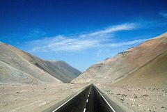
Quebrada de Chiza, taken from the top of the long distance coach.
Bus stop at Salitrera Maria Elena
Lluta Valley
| |
|
|
|
EXIF:
1/125 • f/9.0 • 18.0 mm • ISO 100/ Canon EOS 350D DIGITAL/ 18.0-200.0 mm
Lluta Valley seen from a hairpin bend on Ruta 11. This road leads from the port of Arica on the Pacific coast to the border with Bolivia at Lago Chungará, climbing more than 4500m in less than 200 km. Sadly the heavy traffic has lead to many fatal accidents over the years and the sight of roadside shrines/animitas is a common one.
Gigante de Tarapacá
| |
|
|
|
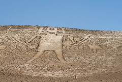
In the Atacama desert there are more than 5000 geoglyphs which were constructed between 800-1500 AD by (among others) the Tiwanaku and Inca cultures, probably for symbolic and ritualistic purposes but most importantly to mark out safe passages through the desert.
The Atacama giant on the slopes of Cerro Unita is the largest human-like geoglyph in the world. It dates from pre Inca times, is 86m long and said to depict a shaman holding a medicine bag and arrow and wearing a jaguar mask. It is also thought to have served as an astronomical calendar.
Geoglyphs of Chiza, set on a hillside some 100 km north of the Atacama Giant.
Patriarcado
Baquedano
| |
|
|
|
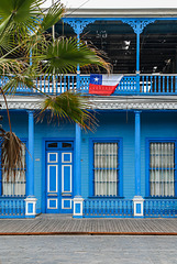
Paseo Baquedano is a street in Iquique's historic quarter. Most houses were built between 1880-1920 in characteristic style with open upper floors. The wood used is oregon pine which came as ballast on the return journeys of saltpeter ships.
past splendour
| |
|
|
|
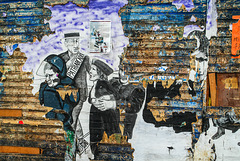
Iquique developed into an important port during the saltpeter boom. Many historic buildings stem from that time, though some are sadly neglected or derelict.
HFF!
Dancing round the Union Jack
| |
|
|
|
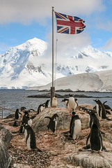
Gentoos at Port Lockroy with Mount William on Anvers Island in the background.
The behaviour and breeding success of the gentoos on Port Lockroy has been studied over many years now. The presence of humans doesn't seem to have a negative effect on them, on the contrary, skuas are less likely to attack the chicks or steal eggs.
Guardians of Port Lockroy
| |
|
|
|
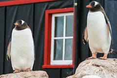
Port Lockroy (Historic Site and Monument No. 61 under the Antarctic Treaty) was established on Goudier Island in 1944 under Operation Tabarin .
Neumayer Channel
| |
|
|
|
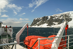
Neumayer Channel is a 26km long and 2,4km wide passage in Palmer archipelago, separating Anvers Island from Wiencke and Doumer Islands.
Evening clouds
| |
|
|
|
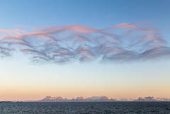
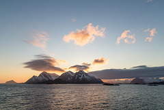
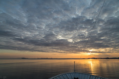
Sailing along Lofoten Islands the mountains of Nordland were clearly visible across Vestfjord.
Lofoten sunset
Sailing into the sunset
Hokitika Custom House
| |
|
|
|
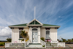
The custom house was built in 1896/97 on the shore of Hokitika river. Hokitika used to be a busy port following the goldrush in the 1860s but went into decline in the 20th century.
HFF!
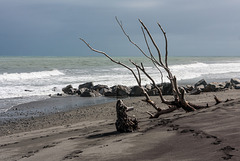
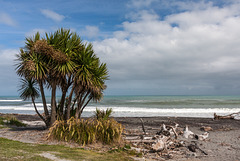
Driftwood
Tasman Sea
Askja Caldera
| |
|
|
|
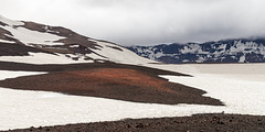
In Askja Caldera - to the right is the snow covered track to Öskjuvatn, to the left one of the craters of Vikruborgir, eruption site of 1961.
Vikrahraun
| |
|
|
|
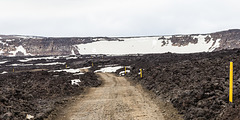
F 894 (Öskjuvatnsvegur) leading into Askja caldera through ʻAʻā- lava flows stemming from the fissure eruption in 1961.
Mordor
| |
|
|
|
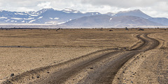
Highland road F 910 traversing an area of pumice from the 1875 VEI 5 eruption of Askja central volcano. The northern part of the caldera can be seen in the background.

