

Roger (Grisly)'s photos
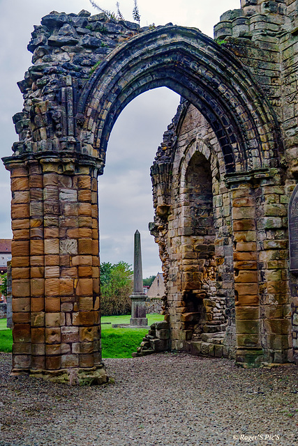

Elderly Arch!
One of a number beautiful arches that survive in the ruins of, “Kilwinning Toun’s Abbey,” is one of the most historically significant ruined monasteries in Ayrshire, Scotland,
Founded around 1162–1188 by Richard de Morville and dedicated to St Mary and St Winning (a little-known Irish or Scottish saint,
1 note!
HWW and a good rest of the week, ,,,, Large view recommended!
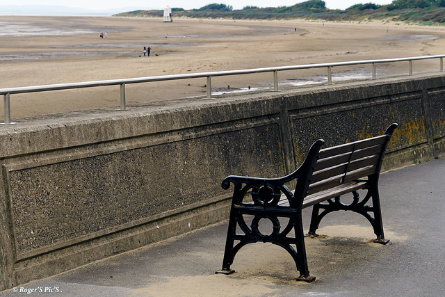
Wall View,
Stand up occasionally to check the view or stay sheltered from the coastal breeze, the choice is your!
HBM and a good week to all!
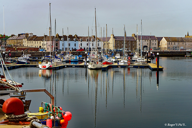
Houses & Boats!
Still in Wick and a view across to the marina part of the inner harbour , and a section of the residential area,
Again a large view recommended,,,,,,,,,,,, HFF and a great weekend to all!
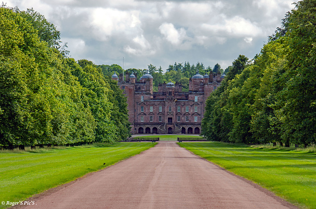
Drumlanrig Castle.
Drumlanrig Castle is a stunning pink sandstone Renaissance-style castle in Dumfries and Galloway, southwestern Scotland. It's one of the grandest and most impressive stately homes in Scotland,
Built: 1679–1691, The castle is the main seat of the Buccleuch family and houses One of the finest collections of art in Scotland,
Not to be missed if you are in the area
Overcast day mid summer 2022
,
HWW to one and all,,,,,,,,,,,,,,,,,,,, Large view recommended!
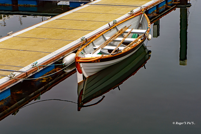
A Boat named Wick!
Four benches but no engine, Reflections of the boat Wick, moored in Wick inner Harbour, Caithness.
I believe this craft belongs to the "Wick Coastal Rowing Club"
HBM and a good week to all
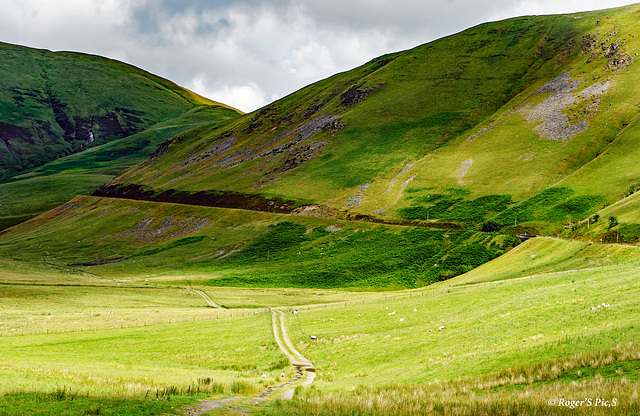
Pass!
The lower reaches of the Dalveen Pass with Upper Dalveen Farm track, center of image,
Dalveen Pass is a dramatic mountain pass in the Lowther Hills of southern Scotland, located in Dumfries and Galloway, It carries the A701 road between Moffat and the upper reaches of the River Clyde, climbing to about 460 m (1,510 ft) above sea level.
One of the most scenic and exposed hill roads in southern Scotland.
Frequently the first major road in Scotland to be blocked by snow in winter (often closed or requiring extreme caution from November to March).
Steep gradients (up to 1 in 6 in places) and hairpin bends, especially on the northern descent toward the Devil’s Beef Tub. (Grok)
HFF and a good weekend,,,,,,,,,,,,,,Large may be good!

Town Bridge
Town Bridge is the oldest of the six bridges that cross the River Parret in Bridgwater,
It has a span of 75ft, was completed in 1883.
HWW and a good remainder of the week!,,,,,,,,,,,,,,,,,,,Large may be better!
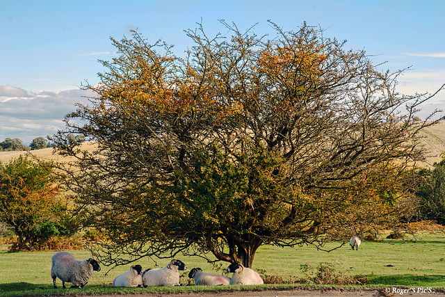
October Sun.
Sheep seeking shelter from the quite weak October sun, a capture from Crocombe Common, Quantock Hills, Somerset!
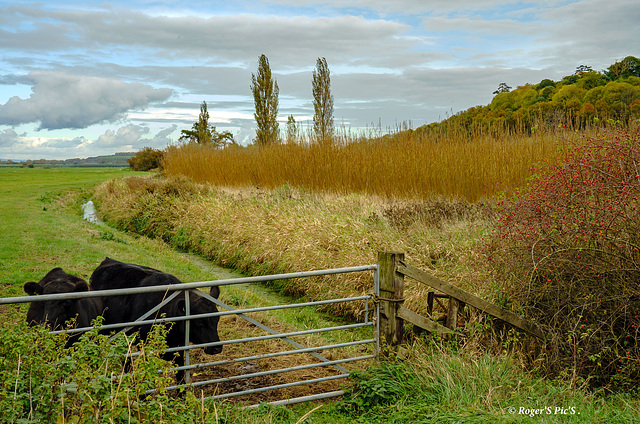
Tall Trees.
A rural autumnal scene from Curry Moor on the edge of the Somerset Levels!
The Levels are a vast, low-lying wetland area in Somerset,covering about 650 km² (250 sq mi)
Mostly just 3–8 metres above sea level. The main rivers are the Axe, Brue, Parrett, Tone and their tributaries. Much of the land would naturally flood in winter; it is kept dry by an elaborate network of drains (“rhynes”), pumping stations and raised river banks.
Feel free to enlarge,,,,,,,,, HFF to one and all!
