

Amelia's photos
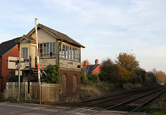
Baschurch signal box
| |
|
|
|
Opened: c1880. Closed: 1999
Baschurch is on the main route between Shrewsbury and Chester, located at a wayside station with small goods yard and level crossing. The latter has been the cause of the survival of the signal box to the present day.
The Beeching cuts were a reduction of route network and restructuring of the railways in Great Britain, 2,363 stations and 5,000 miles (8,000 km) of railway line for closure, 55% of stations and 30% of route miles, with an objective of stemming the large losses being incurred during a period of increasing competition from road transport. Eventually the railway station in Baschurch was closed too.

Liquorice allsorts
| |
|
|
|
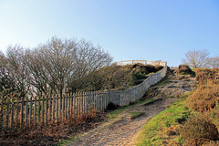
The path up to the Cliffe HFF
| |
|
|
|
This is one of our favourite village walks. The natural heritage of the site includes an extensive area of lowland heath and mixed woodland with an unusually wide variety of conifer trees. The variety of habitats including ponds and steep cliffs gives rise to a wide variety of wildlife, particularly birds and insects. From the top there are expansive views over the Shropshire countryside and Welsh hills.
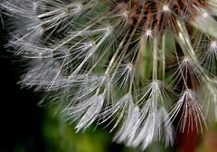
As time goes by
| |
|
|
|
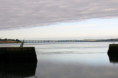
Road and rail bridges across the River Tay
| |
|
|
|
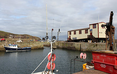
St.Abbs lifeboat station and stolen fish boxes
| |
|
|
|
Just 12 months after the RNLI closed its base in the Berwickshire fishing village, a new vessel called the Thomas Tunnock was officially launched yesterday.
Mr Tunnock initially donated £10,000 to the appeal for an independent lifeboat station but following a thank you call from the campaigners he offered to pay a further £250,000.
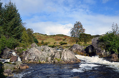
The river at Fuglestad
| |
|
|
|
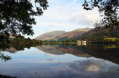
Autumn at Grasmere
| |
|
|
|
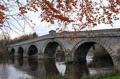
Atcham Bridge, Framed in Beech
| |
|
|
|
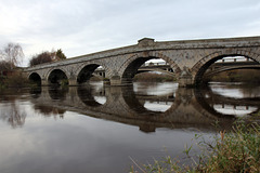
The two bridges at Atcham
| |
|
|
|
Two bridges span the Rive Severn here. The old bridge, built in 1774, and the new, lower bridge, which carries the old A5 across the river and was opened in 1929.
The old bridge is constructed of grey sandstone and has 7 round arches.
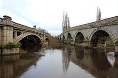
Converging
| |
|
|
|
Here two bridges span the Rive Severn - the old bridge, built in 1774, and the new, lower bridge, which carries the old A5 across the river and was opened in 1929.
The old bridge is constructed of grey sandstone and has 7 round arches.
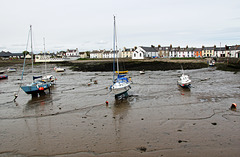
High and dry at the Isle of Whithorn
| |
|
|
|
Isle of Whithorn is one of the most southerly villages and seaports in Scotland, lying on the coast north east of Burrow Head, about three miles from Whithorn in Dumfries and Galloway.
The village is the location of the long ruined 13th century Saint Ninian's Chapel, previously a chapel linked to Whithorn Priory and a stopping off point for pilgrims landing on Isle Head and making their way to Whithorn. No longer a true island, John Ainslie's maps as late as 1782 and 1821 show the Isle as an island. The main street was originally a causeway, with the harbour located on what was then the true Isle.
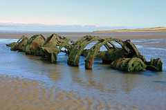
Royal Naval X-craft. Aberlady Bay
| |
|
|
|
Aberlady Bay , East Lothian has a number of remarkably little known historic wrecks including two midget submarines, Royal Naval X-craft.
In 1946 two X-Ts were moored on the vast expanse of sand at Aberlady as targets for aircraft gunnery practice.
LLyn Brenig reservoir. HFF
| |
|
|
|
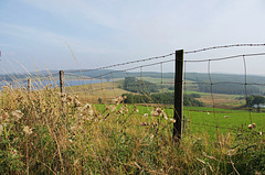
Llyn Brenig is a reservoir located in Wales, in the heart of the Denbigh Moors, at a height of 1200 feet, on the border between the counties of Conwy and Denbighshire. It is used to manage the flow in the River Dee as part of the River Dee regulation system which is designed to protect the water supply for North West England and north-east Wales, particularly Liverpool and its surrounding area.
Kirkcudbright Harbour and MacLellan's Castle
| |
|
|
|
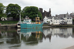
In 1569 the land and buildings of the Convent of Greyfriars were acquired by Sir Thomas MacLellan of Bombie, Provost of Kirkcudbright. He demolished the convent and used the stone to build what on its completion in 1582 was one of the grandest houses in Scotland.
Kirkcudbright Bridge
| |
|
|
|
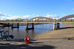
The bridge over the River Dee at Kirkcudbright was built in 1926 by the engineers Mouchel. It provided a direct route west out of the town, rather than having to head north via Tongland Bridge first.
The bridge is a massive 5 span reinforced concrete structure, where each span is supported by tied arch trusses overhead.
Below the spans the piers are paired and while only two stand in the river at low tide, at high tide all are partially submerged.
River Dee at Kirkcudbright
| |
|
|
|
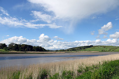
The River Dee at Kirkcudbright is a tidal river. The water will reach the reed bed in the foreground at high tide
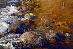
#54 Autumn colours reflected in the river below M…
| |
|
|
|
This river is a continuation from this waterfall:
www.ipernity.com/doc/1021409/35748487
