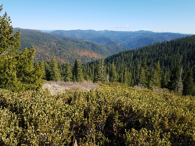
20191027 113111 001
20191027 121123 001
20191027 123252
20200726 142648 001
Fuel
20200927 135539 001
20200927 135757 001
Well-Dressed
20200927 123727 001
20200927 124409
20200927 124459 001
20200927 124643 001
20200927 124830 001
20200927 125025 001
20200927 125102
20200927 131016 001
20200927 131040 001
20200927 131314 001
20200927 134638 001
20200927 151637 001
20200927 151726 001
Noble Lake
20200927 151922 001
View off the Thunder Cliffs
Sierra Juniper
Scale II
Scale
You can see the mountains!
Murky
20200914 182819 001
Social distancing
Coastal fortifications at The Presidio
Point Bonita lighthouse
Snowy path
Who's Walking Whom?
20191105 143207 001
20191231 165046
IMG 9998
IMG 9997
IMG 9993 adj
IMG 9982 adj
IMG 9979 adj
IMG 9969 adj
IMG 9966 adj
IMG 9964 adj
Location
See also...
Keywords
Authorizations, license
-
Visible by: Everyone -
All rights reserved
-
66 visits
Burned off


View easterly from near Lookout Rock on the Pacific Crest Trail, in the vicinity of the Middle Fork of the Feather River, in the vague northern part of the Sierra Nevada, California. The prominent left-right trending canyon in the middle distance holds the Middle Fork, and the Pacific Crest trail more or less follows the outlined ridge to its right. The trail crossed the Middle Fork on a steel footbridge (center insert) and follows a route that ends up traversing the near ridge to the right. It comes up to the photo point. We did much of this part of the PCT as day hikes last fall. The Middle Fork is a so-called Wild and Scenic River, so is completely undeveloped, and much of the area is effectively wilderness.
Or rather, this view is how the area looked last fall. Most of this area was burned off in the last few weeks by the Bear Fire, part of the North Complex of California wildfires. The fire started from lightning on Aug 17 in the upper Middle Fork canyon (see note), and didn't grow much initially. Since it was burning in wilderness and no structures were threatened, only minimal attention was paid to it--other wildfires had first claim on resources. However, on September 8 a cold front moved in from the northeast, bringing strong katabatic winds blowing southwesterly, and the fire exploded in that direction. It was reported at one point to have spread 30 miles (50 km) in 24 hours. Several small communities were obliterated, and the fire got all the way to Lake Oroville, even jumping it on the south. There were also a number of fatalities. Containment is currently around 80%, and total acreage burned is over 300,000 acres (>120,000 ha), making it the 5th largest in California history.
Last July we tried to access the PCT at a point beyond that ridge on the right. We were defeated by steep terrain and lots of deadfall, and thought that the forest was seriously at risk for fire (right insert). Well, we (alas) were right. All the forest litter in that pic, as well as the trees, are completely burned off now, to judge by the fire maps.
We're glad we got to see the area before it burned, but it's depressing to contemplate its current condition. I don't know at this point if the wooden planks on the bridge over the Middle Fork survived.
William Sutherland, Andy Rodker, Smiley Derleth have particularly liked this photo
- Keyboard shortcuts:
Jump to top
RSS feed- Latest comments - Subscribe to the comment feeds of this photo
- ipernity © 2007-2024
- Help & Contact
|
Club news
|
About ipernity
|
History |
ipernity Club & Prices |
Guide of good conduct
Donate | Group guidelines | Privacy policy | Terms of use | Statutes | In memoria -
Facebook
Twitter

THIS AREA TOO WILL RECOVER... SENDING HUGSSSS
Sign-in to write a comment.