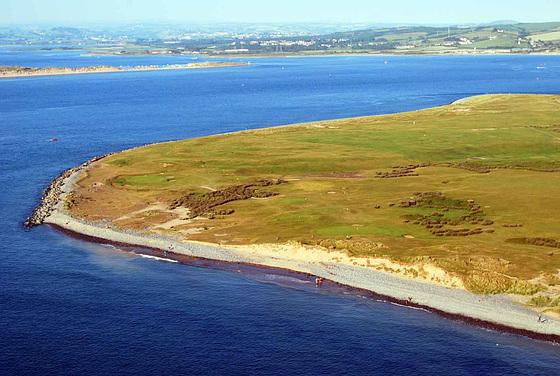
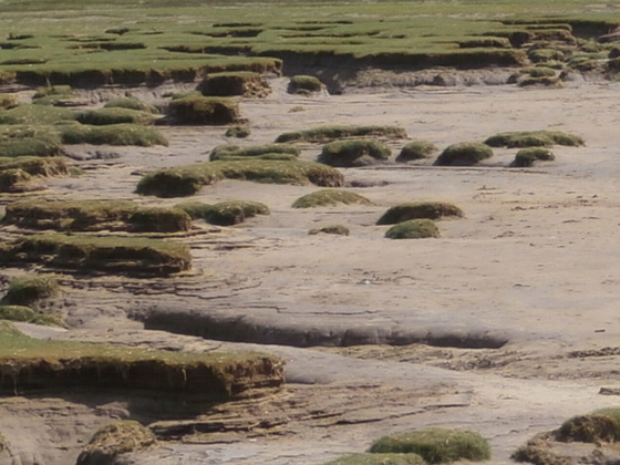
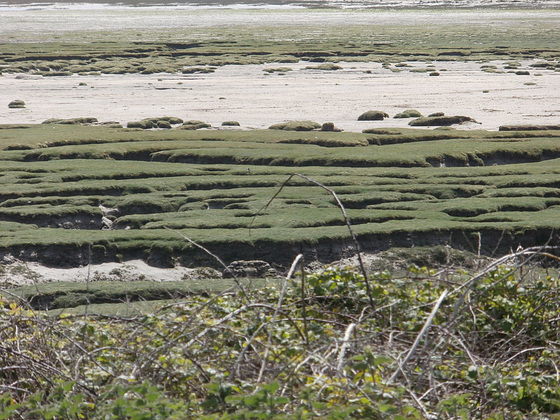
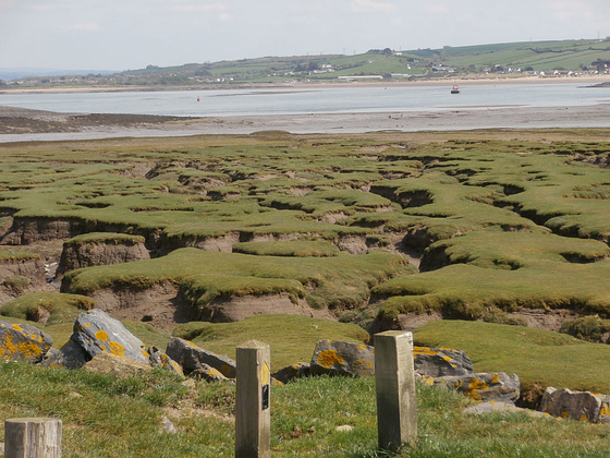
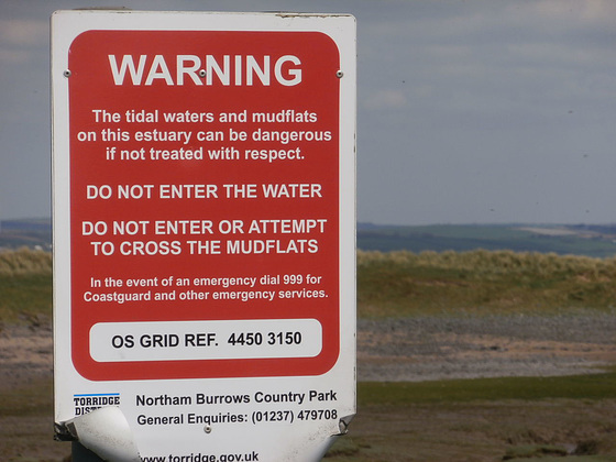
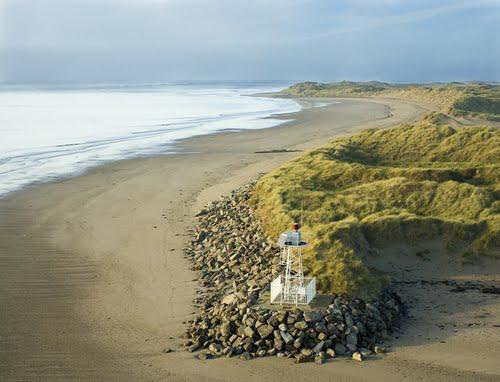
We went to a place called Northam Burrows. Now this piece of land called Northam Burrows is now a Country Park and lies at the western edge of the Taw Torridge Estuary and is within an Area of Outstanding Natural Beauty. The Burrows forms an integral part of the newly designated United Nations Biosphere Reserve. It had its origins in Saxon times, when it was the Manorial Wasteland.
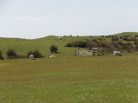
It is a Site of Special Scientific Interest and is about 253 hectares of grassy coastal plain with salt marsh, sand dunes and generally unimproved grasslands. It is also a Grazing Common, with the Residents of the Old Manor of Northam having grazing rights. It is also the site on which the oldest Golf Club in England, still playing on its original Course (founded 1864), has its "Links". The Clubhouse being on private land outside the Common.
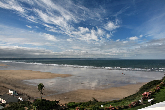
It was easier to Google the above information than to try to explain it to you, apart from the fact that as of yet, I have been unable to hover high enough to take this picture. LOL. Anyway my mum used to take us to the ''dump'' [so called because at one time it was where rubbish was 'dumped' and has now been covered over completely and grassed]. Holiday makers are unaware of this part of the coast, so it's really only locals who have discovered this little bit of beauty.
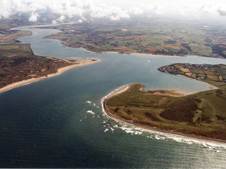
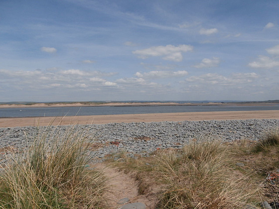
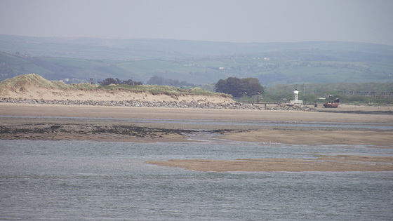
This is at the end of the estuary of both the Rivers Torridge and Taw, and where they meet the sea - it's locally called ''The Bar'' and any ships wanting to come down either of the rivers have to have an escort down the waters as it's quite dangerous and difficult to find the channels.......
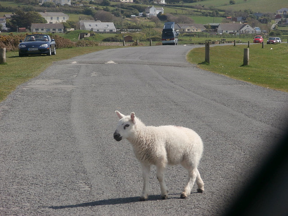
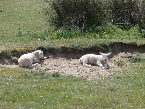
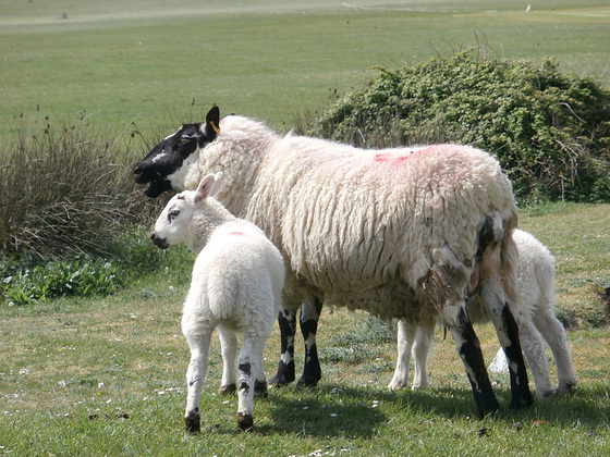
So Mandi and I went to the ''dump'' and we were very lucky with the weather then, it was sunny and the wind was warm. When we arrived, we noticed the sheep which were grazing freely had had lambs and so it's customary to wait while they make up their mind if they are going to cross the road or not....
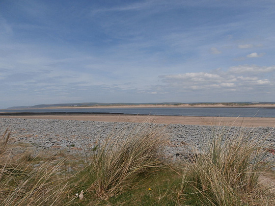
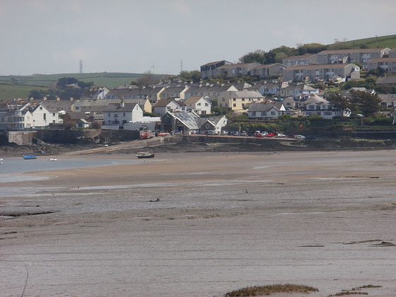
Looking across the river you can see Crow Point.........
See how glorious the view is......
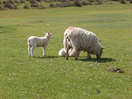
We stayed there for about an hour just marvelling at the beauty around us. We had to return as some little lambs were starting to be inquisitive of us and their mums weren't looking too happy about it... LOL
It's going out on little jaunts like that that keeps me going. In a way it's like re-visiting places I went to with my parents when I was younger. Lovely that I am doing it with my child.....
Hope you enjoyed my little trip around my home area.


Wonderful set of photos too.
Sign-in to write a comment.