

Holtville Hot Springs (#0766)
Holtville Hot Springs (#0768)
Imperial County All-American Canal (#0936)
Imperial County Buttercup Sand Dunes (#0937)
Imperial County S-24 desert farming (#0800)
Laguna Dam - built in 1905 (#0806)
the last stand
ba'al's ball
machine intelligence
beatnik
Tenaya Lake from Olmsted Point (045°)
Fog on the Bridge - Homage to Panoramio (000°)
Emerald Bay 1989 (090°)
Tuolumne Meadows from Pothole Dome - Sept. 1978 (0…
Somewhere in Yosemite NP, Fall 1985 (060°)
Glacier Point Vista (105°)
Death Valley - Badwater, Febr. 1980 (210°)
Footprints
A Remarkable Tree (Oct. 1986)
Glacier Point Vista (090°)
Tenaya Lake 1980 (045°)
Black and White, Yosemite NP (075°)
retirement plan
Algodones Dunes CA-78 (#0762)
Holtville historic direction post (#0764)
Holtville historic direction post (#0764)
Bombay Beach "Missing" (#0750)
Bombay Beach "Missing" (#0747)
Bombay Beach "Missing" (#0743)
Bombay Beach "Missing" (#0742)
Bombay Beach "Missing" (#0751)
Coulterville (#0600)
Briceburg suspension bridge (#0590)
CA-140 Emory (#0539)
Bagby Lake McClure CA-49 bridge (#0535)
Bagby Lake McClure CA-49 bridge (#0533)
Don Pedro Reservoir - CA 49 (#0530)
Sonora Union HS auditorium / New Deal (#0522)
New Melones Lake - CA 49 (#0519)
CA 88 Caples Lake dam (#0508)
US 395 (#0502)
June Lake - Gull Lake Sierra reflection (#0486)
Lee Vining (#0470)
Victorville Southern California Logistics Airport…
delusional

Location
Lat, Lng:
You can copy the above to your favourite mapping app.
Address: unknown
You can copy the above to your favourite mapping app.
Address: unknown
See also...
Keywords
Authorizations, license
-
Visible by: Everyone -
Attribution + non-Commercial + no derivative
-
338 visits
Algodones Dunes CA-78 (#0754)
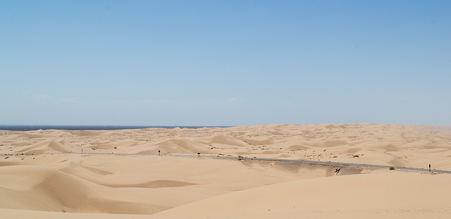

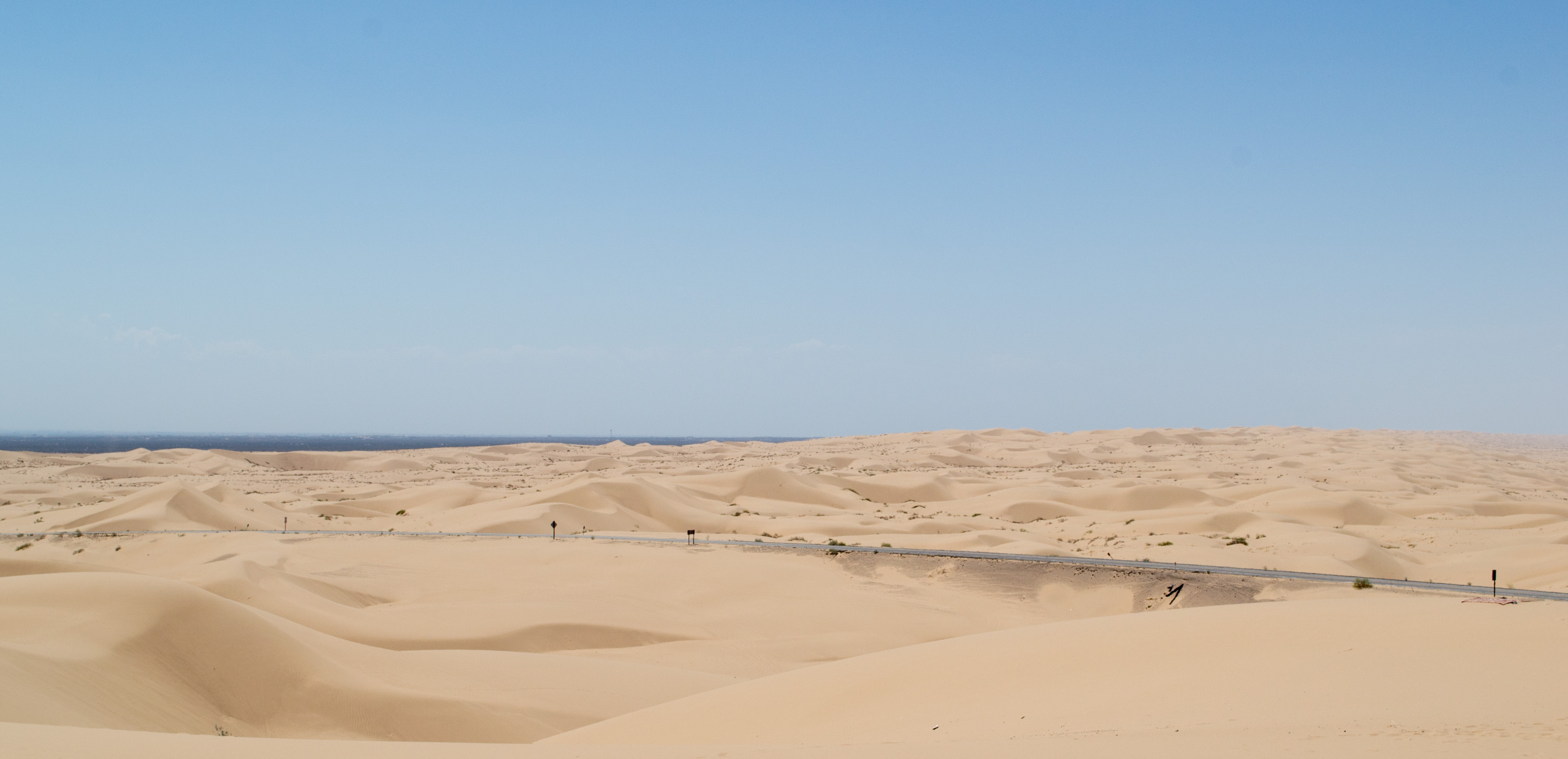
The Algodones Dunes, stretching for 40 miles from southeast to northwest across the eastern side of Imperial County. There's only two roads crossing, CA-78, which is in this picture, and I-8. On CA-78 in more or less the center of the dunes is the Osborne lookout point, which is the only spot to stop and take pictures. In the winter and on weekends in the summer the dunes are abuzz with dunebuggies, but there were none on this weekday (temperature 105F). They dunes are impossible to explore on foot due to the softness of the sand, but well worth viewing. Per Wikipedia (link below), the dunes are a comparatively recent (15th century) result of sand from a lake formed in the Salton Sink by the meandering Colorado River. The name 'Algodones', though Spanish for 'cotton' is considered to be a derivative of an Indian word. en.wikipedia.org/wiki/Algodones_Dunes
Clint has particularly liked this photo
- Keyboard shortcuts:
Jump to top
RSS feed- Latest comments - Subscribe to the comment feeds of this photo
- ipernity © 2007-2026
- Help & Contact
|
Club news
|
About ipernity
|
History |
ipernity Club & Prices |
Guide of good conduct
Donate | Group guidelines | Privacy policy | Terms of use | Statutes | In memoria -
Facebook
X

.jpg)
She also has horror stories about I-19, but that's mostly because the signs all use metric units.
Don Barrett (aka DBs… club has replied to ClintClint has replied to Don Barrett (aka DBs… clubDon Barrett (aka DBs… club has replied to slgwvActually, 'cotton' makes sense to me for naming the dunes since, for a distance, the look like a soft pillowy mass.
Sign-in to write a comment.