

slgwv's photos
20201030 135523
| |
|
20201030 135514
| |
|

20201030 134949 001
| |
|
20201030 134820
| |
|
Gray Lake
| |
|
|
|
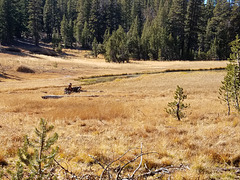
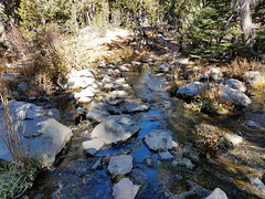
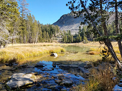
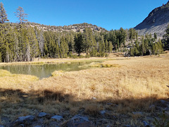
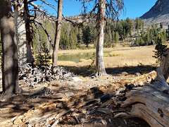
Well, yes. "Lake" is kind of a stretch--Gray "Pond", maybe! But it _is_ a source of perennial surface water, and thus a critical resource for wildlife, in this overall very dry mountain range. The lake's elevation is 9043 ft/2756 m and it's off the Tahoe Rim trail (TRT), in Nevada's Mt. Rose Wilderness area within the Humboldt-Toiyabe National Forest. Two trails access the lake from the TRT, thru saddles to the south and east, and so you can do a loop by the lake from off the trail. The right inset shows a view looking this way, from up in that talus slope; the left inset is a view off to the right of this pic.
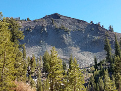
Why "Gray" Lake? It's hardly gray! Dunno, actually, but I suspect it may come from that slope of broken gray rhyolite talus directly ahead. The slope is on the flanks of Rose Knob Peak (9710 ft/ 2960 m).
Gray Lake
| |
|
|
Well, yes. Gray "Pond" would probably be more appropriate! But it _is_ a source of perennial surface water, and thus a critical resource for wildlife, in this overall very dry mountain range. The lake's elevation is 9043 ft/2756 m and it's off the Tahoe Rim trail (TRT), in Nevada's Mt. Rose Wilderness area within the Humboldt-Toiyabe National Forest. Two trails access the lake from the TRT, thru saddles to the south and east, and so you can do a loop by the lake from off the trail.
Why "Gray" Lake? It's hardly gray! Dunno, actually, but I suspect it may come from that slope of broken gray rhyolite talus off to the right.
20201030 134437
| |
|

20201030 134433 001
| |
|
20201030 130531
| |
|
20201030 125616 001
| |
|
20201030 125428
| |
|

20201030 125420 001
| |
|
20201030 124930 001
| |
|
20201030 124803 001
| |
|
20201030 164138
| |
|
20201030 122803 001
| |
|
20201030 122052 001
| |
|
20201030 121657
| |
|
