

slgwv's photos
20201030 121157 001
| |
|
20201030 120522 001
| |
|
20201030 114925 001
| |
|
20201030 114024 001
| |
|
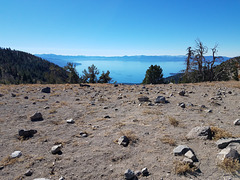
20201030 113320 001
| |
|
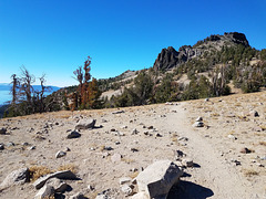
20201030 113316 001
| |
|
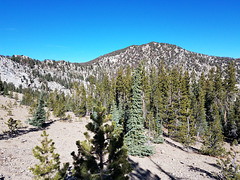
20201030 113113
| |
|
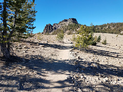
20201030 113108 001
| |
|
20201030 111306 001
| |
|
20201030 102544 001
| |
|
20201030 102540 001
| |
|

20201030 124755 001
| |
|
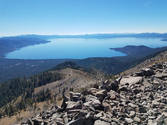
Lake Tahoe View
| |
|
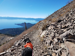
Looking south from the Tahoe Rim Trail over Crystal Bay, on the Nevada side. The settlement on the left is Incline Village, NV; the peninsula on the right is Stateline Point, bisected by the CA-NV state line. Elevation of the trail here is about 9400 ft/2865 m. The deepest part of the lake, at 1645 ft/2865 m, is off Stateline Point.
20201030 124200 001
| |
|
Watch your step...
| |
|
|
|
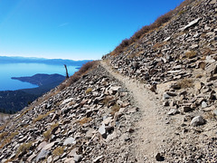
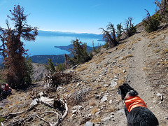
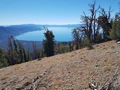
Tahoe Rim Trail going around Rose Knob Peak, in the Mt. Rose Wilderness area, Humboldt-Toiyabe National Forest, Nevada. Looking southwest over Lake Tahoe; the trail elevation here is about 9400 ft/2865 m. The prominent peninsula on the left is State Line Point. By complete happenstance the California-Nevada boundary nearly bisects the peninsula. The deepest point in the lake, at 1645 ft/501 m, is just off State Line Point. The inset shows the view from the point ahead where the trail curves around the mountain.
20201030 123738 001
| |
|
20201030 123620 001
| |
|
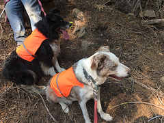
Frank and Shiloh
| |
|
|
|
