

slgwv's photos

20210718 144035 001
| |
|

20210718 142545 001
| |
|
|

20210718 134607 001
| |
|

White Rock Lake
| |
|
|
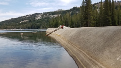
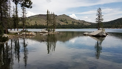
A small Pacific Gas & Electric power reservoir in the upper reaches of the South Yuba River, on the west slope of the Sierra Nevada. Mt. Lola (9143 ft/2787 m) is the high point on the skylined ridge to the right of the pine tree. That's our destination--and we even made it! ;)
White Rock Lake
White Rock Lake
| |
|
|
|
A small Pacific Gas & Electric reservoir in the upper reaches of the South Yuba River, on the western slope of the Sierra Nevada. The fires haven't reached here yet, anyway. It's suspected that a spark from PG&E's equipment triggered the Dixie Fire, which is raging mostly out of control about 30 miles northwest. The insets show some other views in the vicinity, near the dam.

IMG 1922
| |
|
|

Dolores River
Dolores River
| |
|
|
|
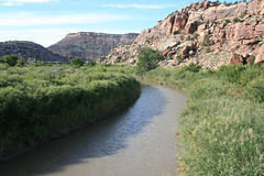
Where it crosses Colorado State Route 141. Looking downstream (north). (The inset shows an upstream view.) The river ultimately joins the Colorado about 10 miles upstream from Moab, Utah. The river's name is significantly shortened from the Spanish original, "El Río de Nuestra Señora de Dolores", River of Our Lady of Sorrows.
IMG 0628
| |
|
|
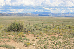
Off Colorado SR 141 looking more easterly. As far as I can tell, the conical peak on the skyline is North Mountain (9887 ft/3014 m). The valley is home to a mustang refuge.
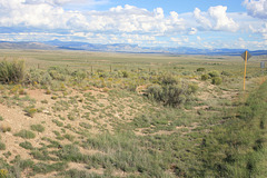
Disappointment Valley
| |
|
Off Colorado SR 141 looking more easterly (the edge of the highway is at the right of the photo.) As far as I can tell, the conical peak on the skyline is North Mountain (9887 ft/3014 m). The valley is home to a mustang refuge.
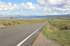
Disappointment Valley
| |
|
|
|
And Colorado State Route 141. Looking southeasterly. The story behind the unpromising name is that a surveying party in the late 1800s was expecting to find water in the creek, and it was dry due to it being late summer. The insets show some views more to the left. The location is approximate. Disappointment Valley also contains a mustang refuge.

IMG 1792
| |
|
|
|
20210530 172855 001
| |
|
|
|
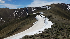
Crest of the Santa Rosas
| |
|
|
|
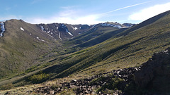
Looking south, where the Summit Trail crosses. Elevation here is a bit over 8000 ft/2440 m. The Santa Rosa Mountains, up next to the Oregon border, are another little-known Nevada range with peaks near 10,000 feet. The fact that the lingering snow is mostly just below the crests on the east side shows the direction of the prevailing winter storms! The insets show some other views in the vicinity. This area lies in the Santa Rosa-Paradise Peak Wilderness.

20210530 163253 001
| |
|

20210530 163249 001
| |
|

20210530 163130 001
| |
|
|
