slgwv's photos
20210530 162058 001
| |
|
Snowy crest
| |
|
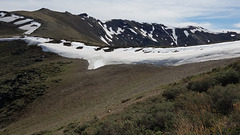
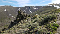
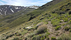
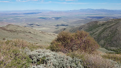
Snow lingering into June just east of the crest of the Santa Rosa Mountains, Humboldt County, Nevada. Elevation here is about 8000 ft/2440 m.
20210530 160657 001
| |
|
20210530 160534 001
| |
|

20210530 160207 001
| |
|
20210530 155239 001
| |
|
|
20210530 154648 001
| |
|
|

20210530 154041 001
| |
|
20210530 153309
| |
|
20210530 152238 001
| |
|
|

20210530 152111 001
| |
|

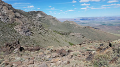
Hanging on
| |
|
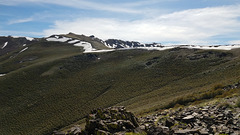
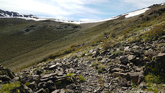
Snow east of the crest of the Santa Rosa Mountains, lingering into June. The elevation here is about 8000 ft/2440 m.
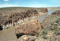
Flooded slot canyon
| |
|
|
|
This slot canyon is the course of the South Fork of the Little Humboldt River, here flooded by Chimney (Dam) Reservoir. Looking northeast (upstream). The drought is apparent from the water level! The inset shows a view downstream, to where the reservoir widens out above the dam.
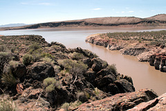
Flooded slot canyon
| |
|
|
This slot canyon is the course of the South Fork of the Little Humboldt River, here flooded by Chimney (Dam) Reservoir. Looking downstream toward the dam (just off to the left of the photo). The extension of the lake to the right, beyond the slot canyon, is where the North Fork comes in. The drought is apparent from the water level!
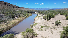
Little Humboldt River
| |
|
|
|
Well, yes. Not exactly a "river" by the standards of lots of places. But it's got water! Looking west (downstream); about 5-10 miles downstream the river bends south to join the main Humboldt by Winnemucca, Nevada. The snowcapped mountains on the skyline are the Santa Rosa Range, with peaks just under 10,000 ft. Much of the high country there is now wilderness.
Webber Falls
| |
|
|
|
Webber Falls on the Little Truckee River, swollen with the spring runoff! It will be a trickle by the end of summer.
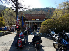
Nevada's Oldest Thirst Parlor