

slgwv's photos
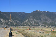
Genoa Canyon
| |
|
|
Genoa Canyon and the Carson Range. Looking west; Lake Tahoe is on the other side of these mountains. The town of Genoa is ahead at the base of the canyon. The approximate position of Genoa Falls, on Genoa Creek, is noted. Some snow is lingering at the higher elevations, but was overall a dry winter.
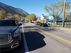
Beautiful Downtown Genoa.
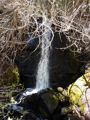
Genoa Falls
| |
|
|
|
On Genoa Creek, on the loop trail above the eponymous town. Not big, but pretty! The inset shows the context.
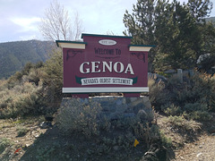
Genoa, Nevada
| |
|
|
|
Genoa sits in the west side of the Carson Valley at the base of the Carson Range. It was founded as Mormon Station, by Mormons sent out on colonization missions by Brigham Young. The Mormons were recalled to Salt Lake City, however, when it appeared that actual hostilities might break out between them and the US Government in the late 1850s. The settlement prospered, however, because of the growing flood of California-bound emigrants. The area has since become a center of high-end real-estate development, although the actual town counts less than a thousand people. It was nonetheless thriving last weekend with visiting bikers, as can be seen in the main street scenes (left insets). ;) Genoa also boasts the oldest bar ("thirst parlor") in the state (right inset).
Its claim to be the oldest settlement is false as it stands, because there was a Paleopueblo settlement in what's now southern Nevada around 1300 CE or so. Even its claim to be the oldest Euro-American settlement is disputed by Dayton, about 20 miles away east of Carson City!
Oh, and it's jen-OH-uh in Nevada. JEN-oh-uh is in Italy!
Unnamed
| |
|
|
|
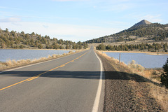
A normally dry basin in eastern Oregon, actually crossed by Oregon SR 31. The basin was a lake in 2017 because of the extraordinary water year. Looking south.
Trees of Mystery
| |
|
|
|
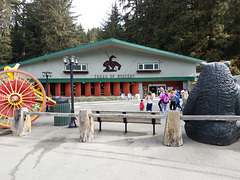
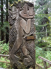
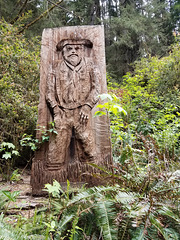
A famous tourist t/r/a/p/ stop on US 101 in the coast redwood country of far northern California, about 35 miles from the Oregon line. It features gigantic statues of Paul Bunyan and Babe the Blue Ox (leftmost inset), a copy of "End of the Trail" (next inset to right), a Trail of Tall Tales (middle inset) featuring chainsaw sculptures (rightmost insets), and (of course!) a gigantic gift shop filled with all manner of kitsch (straight ahead). There's also a motel and restaurant.
In fairness, it's not _all_ kitsch--there's a nice interpretive trail among the tall coast redwoods ( Sequoia sempervirens ), as well as a short tramway to the ridge above the site, from which you can hike down if you want (I did). I'll post on them Real Soon Now.
Funny, this trip was in spring 2019, but already seems much longer ago--what The Year of Covid has done!
Cookey--World's Fastest Waiter
20190426 114225
| |
|
|
|
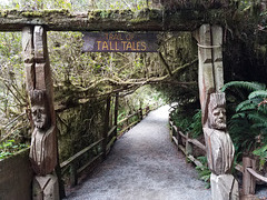
Trail of Tall Tales
| |
|
|
|
Winding thru a series of chainsaw sculptures at the Trees of Mystery, California.
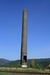
The Garibaldi Smokestack
| |
|
|
|
A landmark on the Oregon Coast, in Garibaldi, OR. The stack was built in 1927 as part of the Hammond Sawmill and is the only part of the mill that survives. It was almost demolished for safety reasons in 2013 because the concrete had deteriorated so much in the sea air, but was instead preserved by sheathing it in fiberglass to forestall further decay. It was considered enough of a historical monument to warrant the effort!
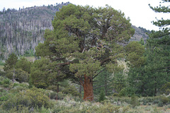
Sierra Juniper
| |
|
|
|
Another worthy addition to my collection! This is near Heenan Lake, off California SR 89 near Monitor Pass. The burned trees in the background are from the Washington Fire in June 2015, which burned almost 20,000 acres and was lightning-caused. The Slink Fire, also lightning-caused, was active south of this area just last September and grew to over 25K acres. Fortunately, according to the online maps I've checked, it didn't reach this far north to burn off this area again. It _was_ close enough, however, that SR 89 was closed for a while.
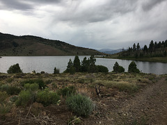
Heenan Lake
| |
|
|
|
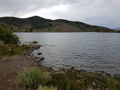
A small reservoir just off California SR 89 and just west of Monitor Pass, not far from the Nevada line. It's managed by the California Dept. of Fish & Wildlife as a trout catch & release area. The lake elevation is 7084 ft/2159 m. Looking southwest toward the Carson-Iceberg Wilderness.

IMG 0564
| |
|
|
IMG 8324
| |
|
|
Wolf Creek Lake
| |
|
|
|
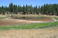
Well, yes; hardly a "lake", especially at this water level! Off the East Fork of the Carson River on the Gray's Crossing trail. 2020 was not a good water year in this part of the Sierra! Carson-Iceberg Wilderness, Sierra Nevada, California.
Gray's Crossing
| |
|
|
|
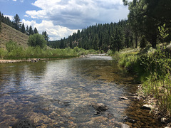
East Fork of the Carson River, looking upstream, right at the edge of the Carson-Iceberg Wilderness, Sierra Nevada, California. Clouds are gathering, and we got into a serious thunderstorm on the way back! Gray's Crossing was evidently on an early pack-stage route. The Carson River flows generally east out of the Sierra and terminates at the Carson Sink, east of Fallon, Nevada. So it's another landlocked river. The East Fork joins the West Fork at the south end of Carson Valley, just inside Nevada. The river, as you might guess, is named for the scout and mountain man Kit Carson.
20200719 170854 001
| |
|
|
20200719 170844 001
| |
|
|
