

slgwv's photos
IMG 0606
| |
|
IMG 0605
| |
|
IMG 0604
| |
|
IMG 0593
| |
|
IMG 0591
| |
|

IMG 0589
| |
|
IMG 0587
| |
|
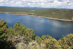
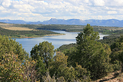
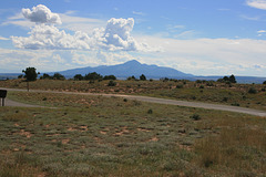
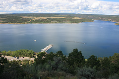
McPhee Reservoir
| |
|
|
|
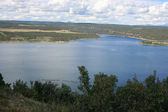
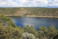
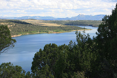
On the Dolores River in southwestern Colorado. It's named for the abandoned logging town of McPhee, whose site was drowned by the reservoir. The dam forming the reservoir was constructed in the early 1980s, surprisingly late, after the heyday of dam-building in the US west. Another interesting tidbit is that they also had to build a dike, the Great Cut Dike, across a low saddle to keep from diverting the Dolores River into the San Juan drainage! Looking southeasterly toward Mesa Verde.

Armageddon?
| |
|
|
|
Thunderhead catching the sunset rays east of Naturita, Colorado. We later had a good gully-washer in the wee hours! Fortunately the roof on the new trailer proved to be waterproof.
This is called the "monsoon" locally, and it's not just a metaphor. There is a North American monsoon, which is less well-defined but due to the same mechanisms as the original, with the Gulf of Mexico standing in for the Indian Ocean. It extends over the US southwest, occasionally extending as far as the Sierra Nevada in California, and begins around the first of July.
IMG 0638
| |
|
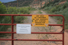
Better than a No Trespassing sign--
| |
|
|
|
Reclaimed site of Uravan, Colorado, where uranium-vanadium ores were processed up until the mid 1980s. Dunno if Umetco Minerals is doing reclamation, environmental monitoring, or what.
IMG 0081
| |
|
IMG 0076
| |
|
IMG 0074
| |
|

IMG 0070
| |
|

IMG 0069
| |
|

IMG 0068
| |
|

Canyon Creek
| |
|
|
|
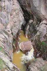
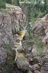
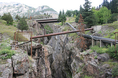
Looking west, above Box Canyon Falls, Ouray, Colorado, from the bridge on the Perimeter Trail.
