

slgwv's photos
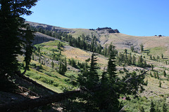
Back to nature...
| |
|
|
|
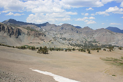
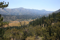
The Jeep road that used to cross this high valley has pretty much vanished, overgrown completely in the drainage below. Altho the old alignment becomes more obvious beyond that point, not even ATVs have been that way in years! Sierra Nevada, California, above Hope Valley and north of Carson Pass. The road had continued beyond the site of the old Alpine tungsten mine, and I suspect it was intended for tungsten prospecting, except that the Federal government yanked the "strategic metal" subsidies ca. 1957--
IMG 8173
| |
|
IMG 8171
| |
|
IMG 8170
| |
|
|
|
IMG 8168
| |
|
Sentinels
| |
|
|
|
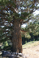
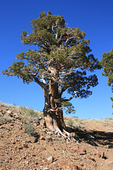
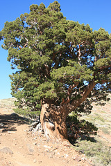
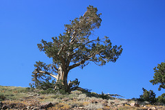
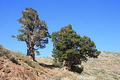
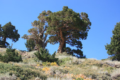
A couple of enormous junipers flanking a ragged ATV track above the Alpine Mine, near Crater Lake in California's Sierra Nevada. These are more specimens well out of their usual range--the elevation here is just under 8800 feet (~2680 m). The inset shows a close-up of the right-hand tree. Looking northeast.
IMG 8156
| |
|
Water!
| |
|
|
|
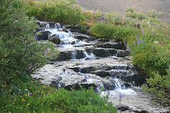
Creek overflowing from Koenig Lake in California's Sierra Nevada. It's nice that there's still water to overflow this late in the season!
IMG 8565
| |
|
IMG 8549
| |
|
IMG 8468
| |
|
Leavitt Lake
| |
|
IMG 8396
| |
|
Snow!
| |
|
|
|
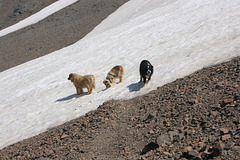
(L to R): Cole, Jill, & Jack on a surviving patch of snow, off the old Jeep trail to Leavitt Lake Pass in the Sierra Nevada, California. Elevation here is about 10,250 ft (3124 m). The well defined path is a use path to the snowfield--the snowfield is persistent enough it shows up on the USGS 7.5' topo! (Pickel Meadow.)
IMG 8333
| |
|
IMG 8313
| |
|

Leavitt Falls
| |
|
|
|
On Leavitt Creek, just off the Sonora Pass Highway (CA 108) on the east side of California's Sierra Nevada. Inset is a close-up of the lower fall.
IMG 8302
| |
|
