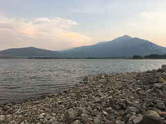
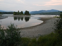
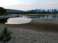
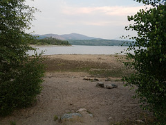
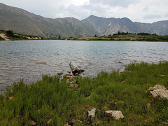
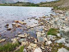
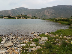
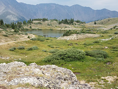
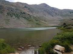
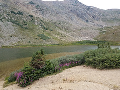
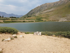
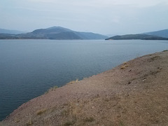
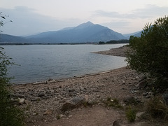
Just south of Interstate 70 in the Colorado Rockies, in an old mining area that's now a hotbed of high-end developments, summer homes, ski cabins, microbreweries, etc., etc. Several major ski resorts (Breckenridge, Arapahoe Basin, Copper Mountain, Keystone) are in the area. Looking southwest; the skylined peak is the north end of the Tenmile Range.
The reservoir is owned by the (City of) Denver Water Board and was constructed in the early 1960s. Much of the reservoir floor was acquired at no cost in lieu of back taxes(!) during the Depression. Water is diverted thru the 23.3 mile (37.5 km) Harold D. Roberts tunnel back under the Rocky Mountains, to the east side of the Continental Divide. So, water is being taken from the drier western side of the Rockies to supply the urban belt along the Front Range on the east side. The project would probably not be approved these days!
The left inset shows a different view of the reservoir, looking east. The right inset shows some silhouetted waterfowl, probably ducks, on the water.