

slgwv's photos
IMG 3285
| |
|
IMG 3283
| |
|
IMG 3478
| |
|
|
IMG 3474
| |
|
|
20180826 154925 001
| |
|
20180826 154120 001
| |
|

20180826 153255 001
| |
|
20180826 152538 001
| |
|
20180826 152455 001
| |
|
20180826 150513
| |
|
20180826 145835 001
| |
|
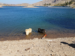
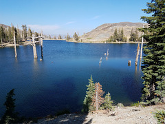
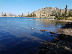
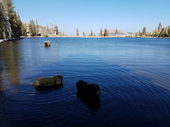
Upper Lost Lake
| |
|
|
|
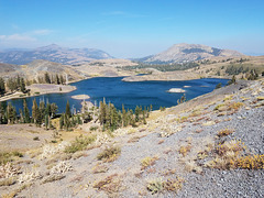
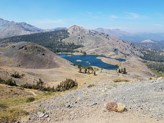
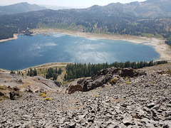
Looking north from the Pacific Crest Trail. This is a small reservoir (full, for once!) in the headwaters of the East Fork of the Carson River. Lake Tahoe lies beyond the mountains on the skyline. The distant haze is due to the wildfires in California. The inset shows a view of this lake from the northwest, on the other side of the dark knoll at the left side of the photo. Sierra Nevada, California.
20180826 144323 001
| |
|
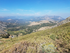
Hope, Faith, & Charity
| |
|
|
|
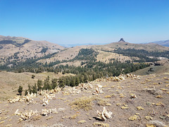
Valleys, that is. Looking northeasterly from the Pacific Crest Trail a bit south of Lost Lakes. The dimly visible high point left of center is Freel Peak, the highest point around the Lake Tahoe basin (which lies beyond those mountains). The skylined butte to the right is Hawkins Peak. We should be able to see the mountains beyond in Nevada thru the low point beyond Charity Valley, but things are hazy from the California wildfires. At least we can see the nearer mountains at all--some days recently all you would have seen from here was murk.
20180826 135326 001
| |
|
20180826 133958 001
| |
|
20180826 132916 001
| |
|
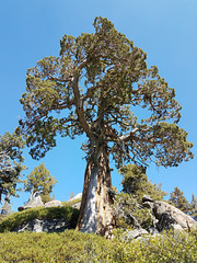
Sierra Juniper
| |
|
|
|
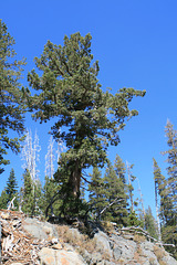
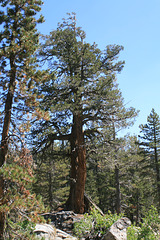
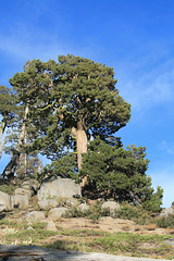
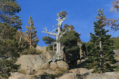
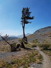
For PamJ. A specimen off the Pacific Crest Trail between the Blue Lakes trailhead and Lost Lakes. Sierra Nevada, California. The insets show some other trees in the vicinity.
