Ipernity Photo Gallery
Thank you
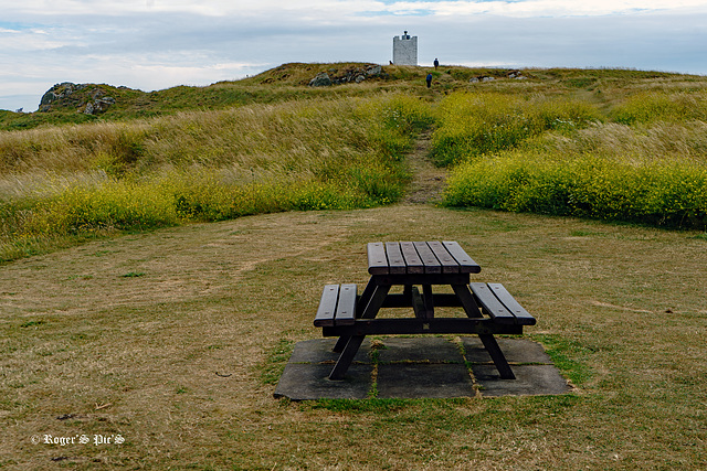
Island Light
Tower and navigation light on the head of Isle of Whithorn, which is one of the most southerly villages and seaports in Scotland,
HBM and a good week ahead
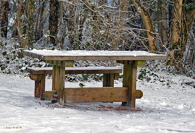
Archive Bench
Discovered this image from 2009 when delving through the archives, this is Somerset's Quantock Hills at Seven Sisters, adjacent to the Cothelstone Hill Car Park,
HBM and a great week to everyone.
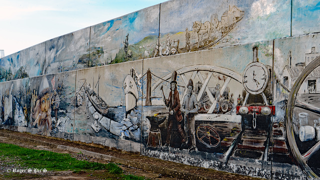
Heritage Mural
A section of a concrete sea defence on the Bristol Channel coast at Watchet in Somerset,
It represents Watchet's historical past, ranging from sea monsters of the Jurassic coast to the paper and wool trades, and the influences of industry, the sea, Christianity, Brunell and JMW Turner,
I must recommend a large view
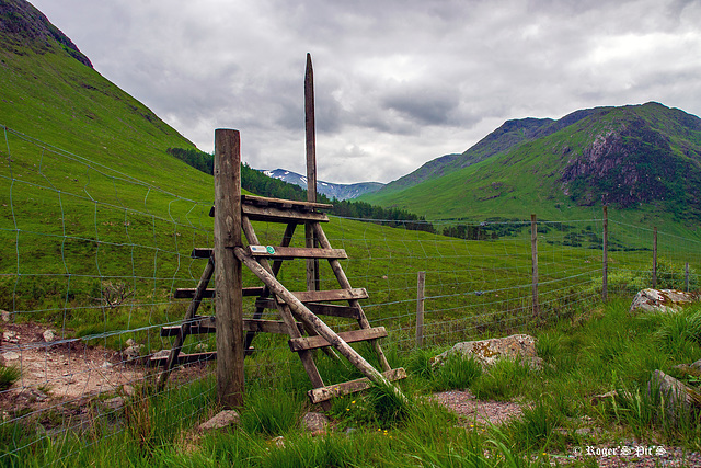
Up & Over
Another delve into the archives for this week's fence, this was June 2014 in Glen Etive and the remnants of the previous winter's snow can still be seen on the distant mountains,
These are the normal means of crossing fences in this part of the Highlands.
HFF and a great weekend
13th century
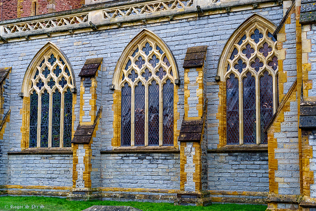
Windows, Wall and buttresses at the church of St Mary in Bridgwater, Somerset,
It was built in the 13th century, and has been designated as a Grade I listed building. It is dedicated to Saint Mary, the Virgin. The first vicar was recorded c1170, (Wikipedia.)
In July 1685, during the Monmouth Rebellion, the Duke of Monmouth watched from the tower as the forces of King James II assembled, at Westonzoyland, under the command of the Earl of Feversham prior to the Battle of Sedgemoor, Which was the last battle fought on English soil.
Possibly worth a larger view.
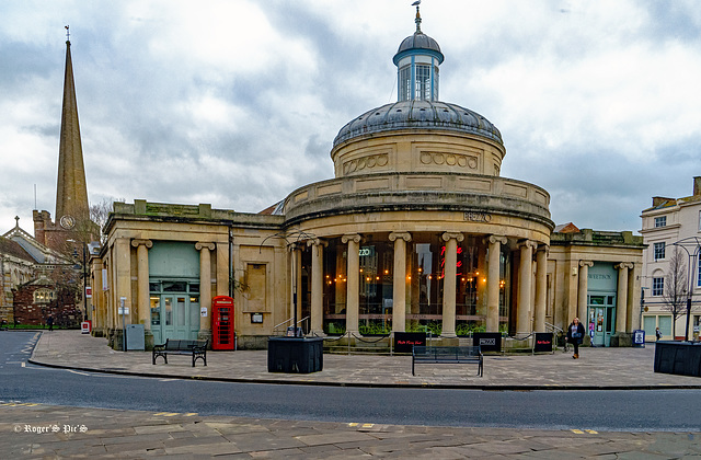
Cornhill,
Late on a cold and dull January afternoon, The gull on the very top is almost a perminant resident.
The Cornhill has always been the historic centre of the town. In 1779 an Act was passed to erect a market house and several houses were demolished to create the necessary space. Before long, it was enlarged and that work was completed in 1826 when the Cornhill dome was built by a local man called Hutchings. Then in 1875 “a handsome and commodious Corn Exchange” was added and it is that building which we recognise today,
bridgwater-tc.gov.uk/history/around-and-about-the-town/the-cornhill
HBM and a great week ahead, a large view for detail.
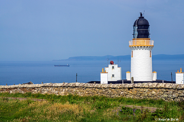
Sea Haze, 1 note.
Another angle on the Dunnet Head Lighthouse, captured on a sunny but hazy afternoon, This is the most Northerly point on the British mainland and the island of Stroma forms a misty backdrop,
The lighthouse which was built in 1831 is 66 feet tall and stands on the 300-foot cliff top at the Western end of the Pentland Firth.
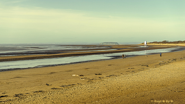
Low Tide,
Low water in Bridgwater Bay,
I recommend a large view, the course of the River Parrett is viewable to the left with the island of Steep Holm and the lower lighthouse to the right,
Love to know how far the drift wood on the beach has travelled
The river Parrett is 37 miles long, 19 of which are tidal, the fall is only 1 foot per mile (0.2 m/km), so it is prone to frequent flooding in winter and during high tides. A number of tributaries feed into it as it flows across the Somerset levels,
Steep Holm island is limestone and rises to about 200 feet (61 m) it has been inhabited since the 6th century, but now It is protected as a nature reserve and Site of Special Scientific Interest
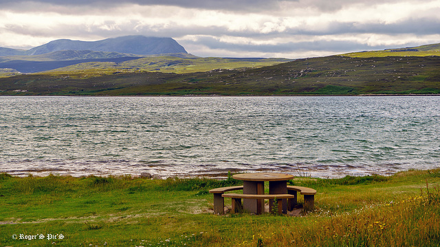
Kyle side. (2 Pips)
The tidal Kyle of Tongue in Sutherland with a cloud capped Ben Loyal as a backdrop,
Traffic crosses the Kyle on a causeway which forms part of the A838 North Coast 500 Road around the top of the country, and is listed as one of the most amazing and beautiful drives around Scotland. (This bench is in one of two picnic areas part way across the causeway)
The Kyle which is listed as a sea loch starts at Tongue Bay on the north coast and stretches inland for 7 miles (11 km)
In 16.9 format, so a large view is recommended
Pip 1 The Sign, Pip 2 The Causeway
Jump to top
RSS feed- Latest items - Subscribe to the latest items added to this album
- ipernity © 2007-2024
- Help & Contact
|
Club news
|
About ipernity
|
History |
ipernity Club & Prices |
Guide of good conduct
Donate | Group guidelines | Privacy policy | Terms of use | Statutes | In memoria -
Facebook
Twitter

