Roger (Grisly)'s photos
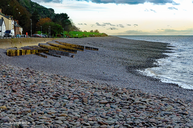
Pebble Beach!
We have moved west away from the sand and are now down with the pebbles at Mineheads Quay West,
Leave the road at the start of the green fields, and you will be walking the 630 miles (ca. 1,014 km) South West Coastal Path. Which will give you stunning coastal views while walking around the entire South West peninsula.
HFF and a great weekend,,,,,,,, A large view perhaps.
18 Apr 2024
22 favorites
35 comments
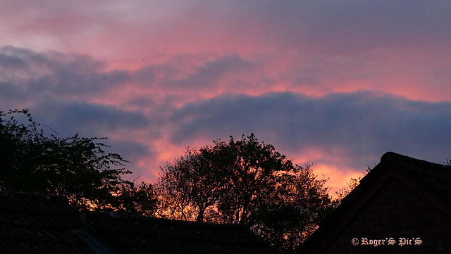
Sunset from the Window
An April sunset in 16.9 format, so a large view would be welcome.
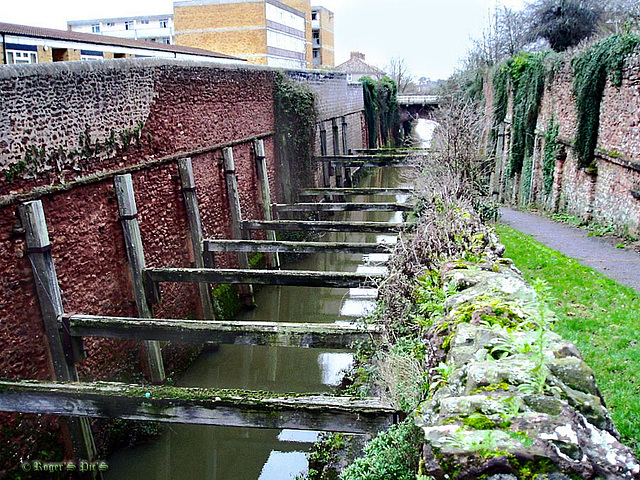
Archive image from the Bridgwater and Taunton Canal
These shoring timbers were installed in 1968 following a partial collapse of the walls in the cutting, the collapsed section can be identified by the different coloured blocks to the left of the cutting.
This image was taken in 2008 thirty odd years after the 1970 style housing blocks were built, and shows the Albert Street bridge in the distance.
Boats continued to sail beneath the timbers, which gave a minimum clearance of 8 feet
Fly Past
A high level bird and closer views of a Kelpie to follow on from yesterday's image from, Helix Park, Falkirk,,,,,, Large for detail!
One Pip
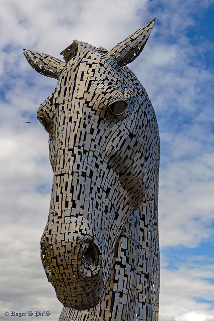
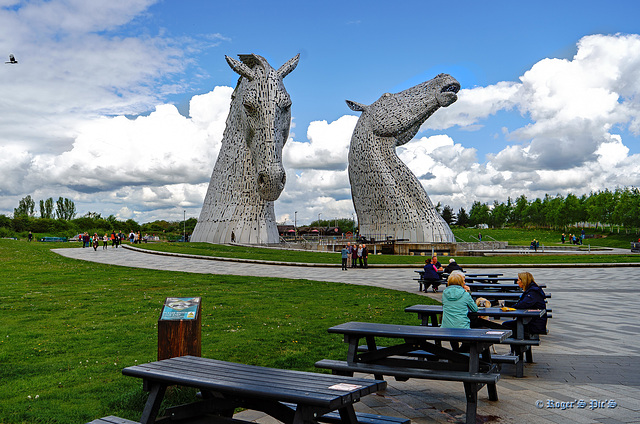
Heads in the Clouds!
Coffee and Cake with a view of the Kelpies, Helix Park, Falkirk,
They are largest equine sculpture in the world. Unveiled in April 2014, these 30-metre high horse-head sculptures situated in Helix Park are a monument to Scotland’s horse-powered industrial heritage.
HBM and a good week ahead
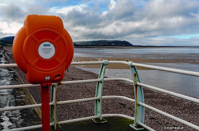
Occasional Use,
This is another image from the Bristol Channel coast therefore the Life belt is for the odd occasion when the tide is in, Blue Anchor Bay with North Hill and Minehead in the distance,
Blue Anchor Bay, was previously known as Cleeve Bay. The bay and inn were the subjects of a watercolour by J. M. W. Turner in 1818, now in the Lady Lever Gallery, Port Sunlight,
Large view if you prefer. HFF and a great weekend to one and all,
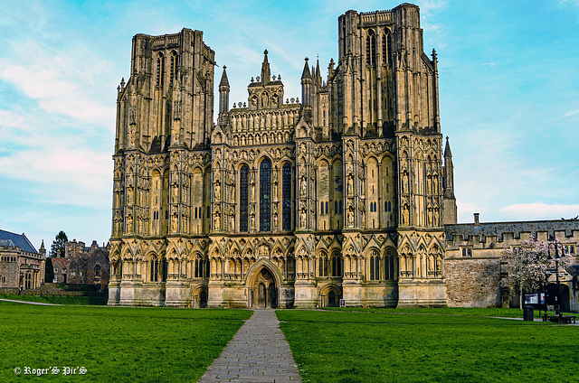
The West Front,
Somerset's Well's Cathedral, captured in weak winter Sun, HWW!
Please view large, the stone work is magnificent!
More information www.wellscathedral.org.uk/outreach-learning/history/heritage-and-conservation/west-front-restoration
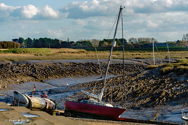
Mud Bank Moorings
A small but important fence on the River Brue at Burnham-on Sea, The image also shows clear evidence of the huge tidal range in Bridgwater Bay.
For an idea of the tides on the 6th April, Low water at 12.42pm was 0.6m and High tide at 06.42am was 11.6m a mean différance of 11m (36.08924 ft)
Ref www.tideschart.com › United-Kingdom › England › Somerset › Bridgwater-Bay
The Brue flows into the River Parrett just before it flows into the bay and out into the Bristol Channel
HFF and a good weekend, ---------------- Large view recommended!
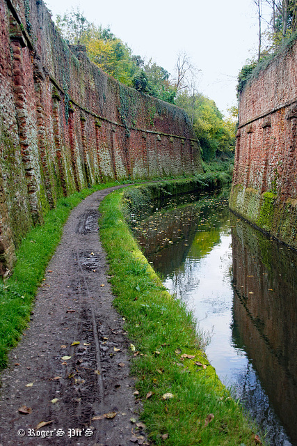
The old Canal,
An autumnal image of the Bridgwater and Taunton canal from 2012,
This is taken in Bridgwater's West Street cutting with the tunnel directly behind the photographer, Now only used for pleasure craft
It was opened in 1827 and linked the River Tone to the River Parrett, HWW!
Jump to top
- ipernity © 2007-2024
- Help & Contact
|
Club news
|
About ipernity
|
History |
ipernity Club & Prices |
Guide of good conduct
Donate | Group guidelines | Privacy policy | Terms of use | Statutes | In memoria -
Facebook
Twitter

