Channel Islands
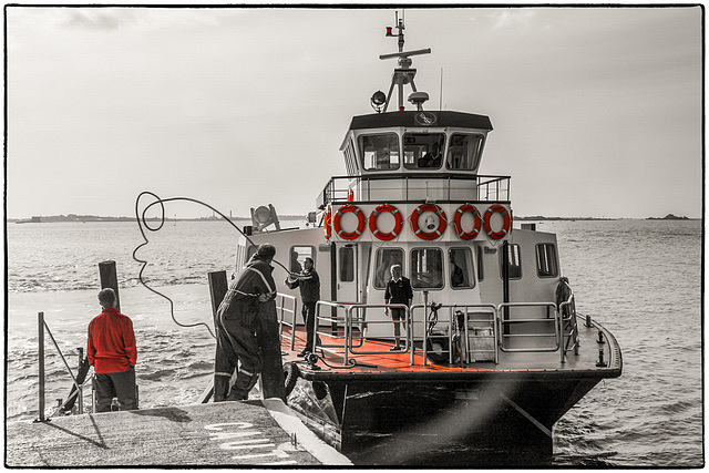
The ferry
Trident catamaran arriving at Rosaire landing (see inset photo).
www.traveltrident.com
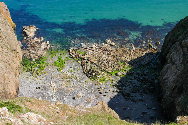
Convanche Bay
Looking down to the east from La Coupée, the narrow 80m high ridge connecting Sark and Little Sark.
www.lonelyplanet.com/united-kingdom/travel-tips-and-articles/alderney-sark-and-herm-exploring-the-lesser-known-channel-islands
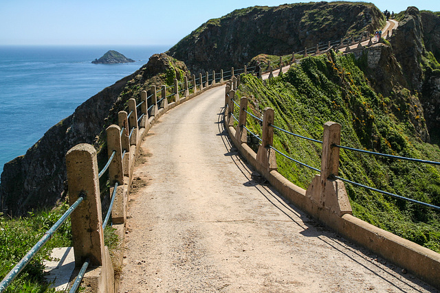
La Coupée
La Coupée is a narrow isthmus connecting Sark and Little Sark. It's just 3m wide and drops 80m on both sides. The concrete road was built in 1945 by German PoW. Before railings were erected (in 1900) people often had to crawl over La Coupée on their hands and feet.
HFF everybody!
www.lonelyplanet.com/united-kingdom/travel-tips-and-articles/alderney-sark-and-herm-exploring-the-lesser-known-channel-islands
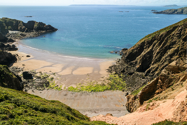
Grande Grève
Grande Grève is the bay on the western side of La Coupée. A very steep path leading down to the beach had to be rerouted because of a major landslide (the light coloured scar seen on the right).
The large island in the background is Guernsey.
www.lonelyplanet.com/united-kingdom/travel-tips-and-articles/alderney-sark-and-herm-exploring-the-lesser-known-channel-islands
Creux Harbour
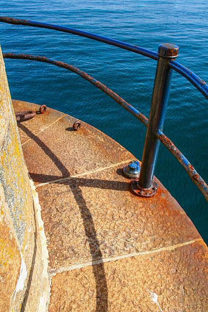
The end of the breakwater at Creux Harbour, Island of Sark
HFF everybody!
Telegraph Bay
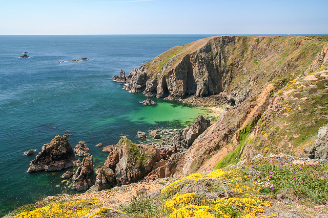
Telegraph Bay is arguably the most beautiful Bay on Alderney. There are caves at beach level but sadly the path down to the beach had been partly swept away by rockfall and was closed (see inset photos)
Alderney is the northernmost of the Channel islands, it's 8 km³ large and part of the Bailiwick of Guernsey. It is only 15km from Cap de la Hague from which it is separated by a dangeous tidal current.
Alderney used to be rich in megalithic dolmens but 19th century fortifications and German occupation in WWII destroyed most of them. Because of its exposed situation Alderney was completely evacuated in WWII, the Nazis fortified it heavily and ran work and concentration camps there.
en.wikipedia.org/wiki/Alderney
www.lonelyplanet.com/united-kingdom/travel-tips-and-articles/alderney-sark-and-herm-exploring-the-lesser-known-channel-islands
Jump to top
RSS feed- Latest items - Subscribe to the latest items added to this album
- ipernity © 2007-2024
- Help & Contact
|
Club news
|
About ipernity
|
History |
ipernity Club & Prices |
Guide of good conduct
Donate | Group guidelines | Privacy policy | Terms of use | Statutes | In memoria -
Facebook
Twitter

