Channel Islands
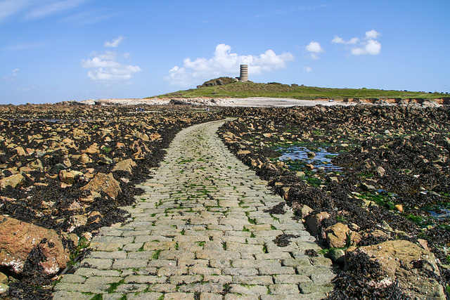
Lihou causeway
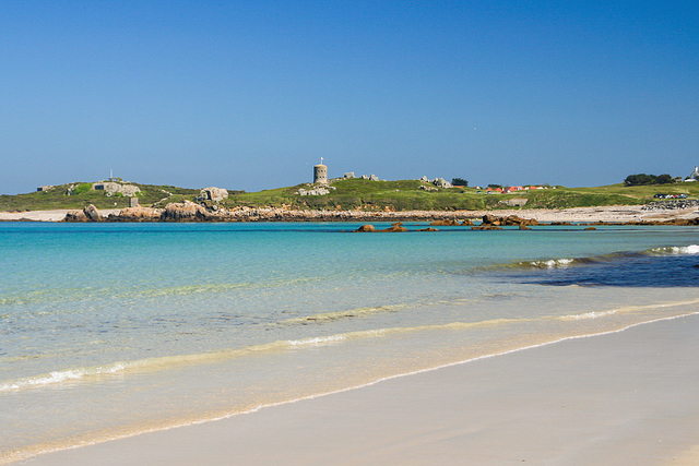
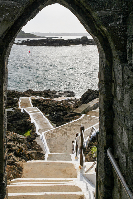
Lihou Island lies off Guernsey's west coast. It is connected to L'Erée headland (seen here with Fort Saumarez) via a causeway accessible at (very) low tide. It is essential to observe the causeway opening times to avoid getting stranded on Lihou, because once the water gets ankle high it is too dangerous to cross.
View from L'Èrée towards Lihou
Life in the tide zone: orange- breadcrumb sponge (halichondria panicea) / dark red jelly blobs- beadlet anemone (actinia equina).
The mauve stuff is an encrusting seaweed of the lithophyllum or lithothamnium species.
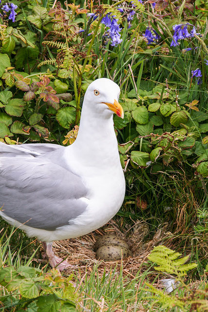
Watchful
Lihou Island (with L'Erée headland) is Guernsey's only Ramsar site. Because access to Lihou is only possible at very low tide gulls breed virtually everywhere and visitors must take care not to step on them.
rsis.ramsar.org/ris/1608
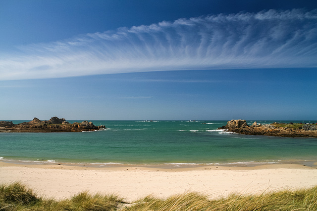
Port Soif
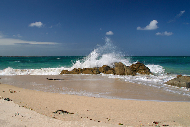
Port Soif is a near circular sandy bay on the NW coast of Guernsey. At low tide it falls completely dry but is a sheltered bathing place when the tide comes in. With the tide going out currents can get dangerous.
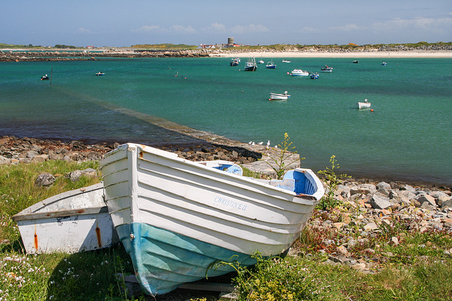
Christine II
Boats at Rousse, looking over Le Grand Havre on Guernsey's NW coast. Also see inset photos.
L'Ancresse Bay
L'Ancresse Bay is a large sandy bay in the north of Guernsey which is popular with both swimmers and surfers in summer. Because the land is flat it was heavily fortified with Martello towers all around the bay, forts and batteries on the headlands and a German anti tank wall. Behind the bay is Ancresse common with its golf course and megalithic tombs.
About the relics of German occupation: www.festungguernsey.supanet.com
Windy weather
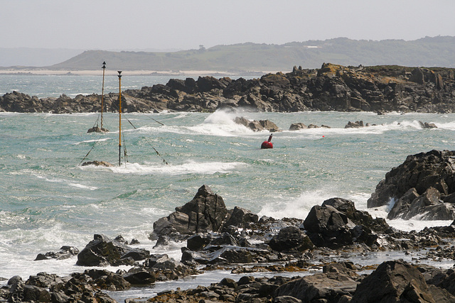
A windy day at the northeastern corner of Guernsey near Fort Doyle and Beaucette Marina with Herm Island in the background. The numerous reefs can pose a hazard to sailors not well acquainted with the waters around the islands.
Mouisonniere Beach
Mouisonniere Beach is at the northern tip of Herm, a 2 km³ small island off Guernsey. Herm like Guernsey has cliffs in the south and flat sandy beaches in the north. It's just a 20 minute boat trip from Guernsey and can be leasurely explored on foot (cars and bicycles are forbidden).
en.wikipedia.org/wiki/Herm
www.lonelyplanet.com/united-kingdom/travel-tips-and-articles/alderney-sark-and-herm-exploring-the-lesser-known-channel-islands
Rosaire Landing
At low tide Herm Harbour falls dry and the ferry departs from Rosaire steps.
Jump to top
RSS feed- Latest items - Subscribe to the latest items added to this album
- ipernity © 2007-2024
- Help & Contact
|
Club news
|
About ipernity
|
History |
ipernity Club & Prices |
Guide of good conduct
Donate | Group guidelines | Privacy policy | Terms of use | Statutes | In memoria -
Facebook
Twitter

