4-10-17
Folder: unsorted
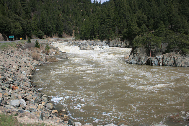
Indian Creek in flood, III
This is maybe a mile downstream from the previous pictures
www.ipernity.com/doc/289859/44673778
www.ipernity.com/doc/289859/44673774
and is just upstream of the confluence with Spanish Creek, said confluence marking the start of the East Branch of the North Fork of the Feather River (yes, that _is_ the official name! Really.) The leftmost insert shows the flow in Dec 2010, at a more normal level; the middle insert shows the flow during the drought, in Jan 2015, and the rightmost insert is a close-up of the spectacular rapid thru the rocks. The bedrock here is a hard, vertically foliated metamorphic rock that is almost at right angles to the current. The highway on the left is California State Route 89.
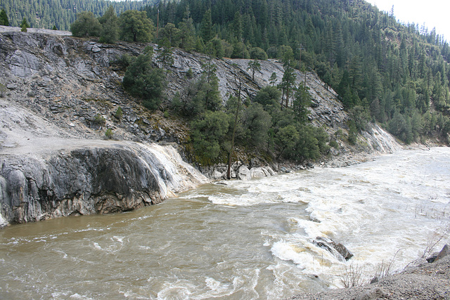
Indian Creek in flood, II
Looking to the right from the same photo-stance as this pic:
www.ipernity.com/doc/289859/44673778
Soda Rock is now across the creek to the left. The inset photo is from the more normal flow year of 2010. The flood has turned the channel downstream into a pretty continuous string of class V rapids.
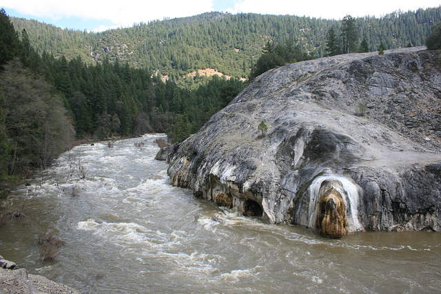
Indian Creek--in flood!
Another example of the extraordinary snowpack this year. This area is transitional between the Sierra Nevada proper and the Cascades, starting around Lassen Peak about 40 miles north, and altho it's lower in elevation than the High Sierra it received a _lot_ of snow last season. The insets show more typical stream flow in Dec 2010 (left), and during the height of the drought in Jan 2015 (right).
The gray dome with white highlights to the right of the creek is Soda Rock. It is composed of travertine, a spring-deposited limestone, and figures in the creation myth of the Maidu, the local Native American tribe, as the place where their ancestors entered the world above.
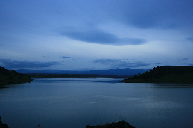
Black Butte Reservoir
On Stony Creek, which drains eastward from California's Coast Ranges in the northern part of the Central Valley. It's an Army Corps of Engineers project, which at least is full this year due to the good water season. Time exposure taken by twilight. Looking west (upstream); the inset shows a different view.
Jump to top
RSS feed- Latest items - Subscribe to the latest items added to this album
- ipernity © 2007-2024
- Help & Contact
|
Club news
|
About ipernity
|
History |
ipernity Club & Prices |
Guide of good conduct
Donate | Group guidelines | Privacy policy | Terms of use | Statutes | In memoria -
Facebook
Twitter


