Jen Pedler's articles
Archives
-
After terror
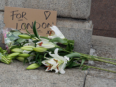
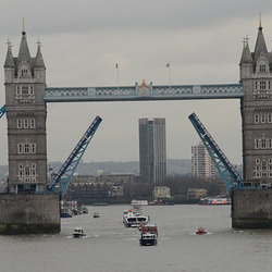
- 6 years ago - 1 commentI was chilling out in front of the tv with a glass of wine on Saturday night when the phone rang. I saw it was my daughter, in Preston - or at least, that's where she lives so I assumed that was where she was. But it was late, almost 11. A crisis, I wondered as I answered, trying to prepare myself... "You're ok, Mum?" she said, almost before I could say a word. And then I knew it had happened again. So I heard about the London Bridge terrorist attack via the news she was watching 250 miles away.…
-
Going Underground: the Despard Road Subway
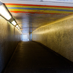
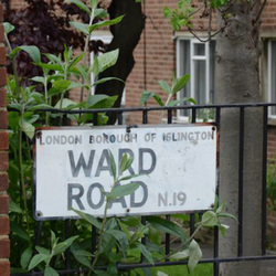
- 13 Jan 2016The pedestrian subway running beneath Archway Road, between Despard Road and Pauntley Street, will be closed when the gyratory is redeveloped this year and replaced with a surface level crossing. Perhaps people feel safer crossing the road above ground but I have never found this subway intimidating and haven't heard of any 'incidents' occurring in it. There is a certain fascination with London's underground spaces and as this one is shortly to be gone I decided to document it before it closed.…
-
The Streets of N19: Part 9
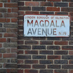
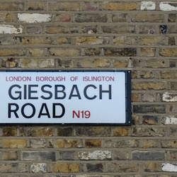
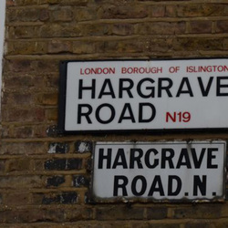
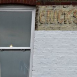
- 09 Jun 2015Last year I photographed all the streets in my home postcode - N19 - and intended to blog about them as I went. Although I finished the photography side of the project the blog lagged behind. Now I have a bit more time, I'm intending to catch up with it. To those of you who have followed this so far, thanks for your patience in waiting for the next episode. I'll try not to be so erratic in posting from now on. (Sounds a bit like a New Year resolution but half of the year has almost passed already!) Saturday 3 May 2014 I had to go to the sorting office on Hornsey Road to pick up a package and decided to snap up a few streets along the way.
-
Churchill 50 Years On
- 30 Jan 2015I was 12, coming up 13 when Churchill died. We lived in Maidenhead, about 40 miles west of London. My friend’s Dad brought her up to see his lying in state. I was invited to go along with them but Mum (who was a teacher, and later a headmistress for many years) was very strict about such things and wouldn’t let me have the day off school. I thought at the time, and still think now, that you probably learn more about history by being part of it than you do by reading books and I wonder what I ac…
-
The Streets of N19: Part 7
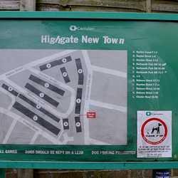
- 02 Sep 2014Chester Road is the last N19 street on the right as you go down Dartmouth Park Hill, after that right turns take you into NW5. It's very odd the way the postcodes intertwine at this point. Bramshill Gardens, the first left off Chester Road, is also NW5 whereas the next two streets on the left - Winscombe Street and Bertram Street - are both N19. Presumably the reason for this is that the latter are both cul-de-sacs meaning that their only entrance is from Chester Road (N19) but Bramshill Gardens runs through to Dartmouth Park Avenue NW5 (not to be confused with Dartmouth Park Hill, N19, where I live, although delivery drivers and mini-cabs often seem to). To add to the confusion, there's also a Dartmouth Park Road but that's NW5 as well. The area between Dartmouth Park Hill and Chester Road is known as Highgate New Town, although it's not all new and neither is it a town. As it's just across the road from me, it was a convenient area to pop out and photograph one evening.
-
The Streets of N19: Part 5
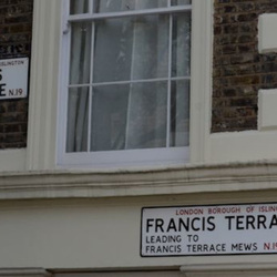
- 14 May 2014 - 1 commentA few days off work over Easter gave me a bit of time to catch up with various tasks and continue my explorations of N19. I started off with the intention of photographing a few streets on my way to the picture framers in Holloway Road but one thing led to another and I ended up taking in 14 streets. Here are the first five.
-
The Streets of N19: Part 4
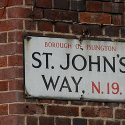
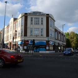
- 04 May 2014Archway town centre was decimated in the '60s by the creation of the gyratory; a giant one-way system that swept all traffic coming south from either Highgate Hill or Archway Road around the back of the Methodist Hall and along the end of St John's Way to join Holloway Road and all traffic going north from Holloway Road starting off by going up Highgate Hill and then being diverted right along a newly created road north of the pub if it ultimately wanted to go up Archway Road. There was much protest but gyratories were in fashion then so it went ahead with much demolition involved, including some early C19 almshouses just east of Archway Road (more when I get on to Archway Road in a later installment) and a historic tram terminal building. What Philistines planners were in the '60s (and probably still are when you consider the rash of tall glass towers along the river, the projected development of Mount Pleasant, the... but all this has nothing to do with N19 so I'll stop). Now, 50 or so years later, it's going to be all change again. Much to everyone's relief, after years of campaigning, the hated gyratory is to be abolished. The sins of the fathers...? But then, abolishing gyratories is fashionable these days - they're doing the same at the Elephant & Castle. The result of the new road layout was that the Archway Tavern, the Methodist Church and Central Hall and a few shops were stranded on an island. The only access by foot involves crossing three major roads, waiting for the green man each time. This installment documents the streets (yes, there are two of them!) of Archway Island.
-
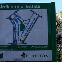
The Streets of N19: Part 1
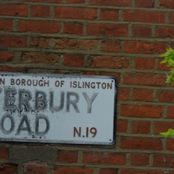
- 08 Apr 2014I've recently joined the Bleeding London project. Based on Geoff Nicholson's 1997 novel of the same name, the aim is to photograph every street in the A-Z between now and October. That needs a lot of people so, if this inspires you, why not sign up too? As part of this, I'm now on a mission to photograph every street in N19, around Archway, where I live. And as if that wasn't enough, I've decided to blog about them too. This first part covers the streets in the triangle formed by Dartmouth Park Hill, Bickerton Road and Junction Road with the apex at Tufnell Park which I took on a quick wander last Sunday (6 April).
-
I-Spy the Sights of (1960s) London: Part 3
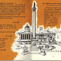
- 11 Jan 2014 - 2 commentsWe continue our exploration of Trafalgar Square . The main features shown in the sketch can all still be seen today: the fountains, Nelson's Column, the George IV statue, the National Gallery and St Martin-in-the-Fields (which we have to spy) along with some other features not mentioned: the statue of Havelock (an army general who achieved fame during the 1850s Indian Mutiny) just to the east of Nelson's column, the little Police Station in the bottom corner, the Coliseum and the statue of Ed…
-
I-Spy the Sights of (1960s) London: Part 2
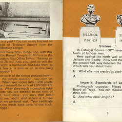
- 04 Jan 2014The I-Spy trail begins in Trafalgar Square - where else would any self-respecting tourist start? And that's the trouble; even when it's not taken over by an event or demonstration, the square is generally packed with people and not the sort of place most of us regular Londoners linger in for long. Which is a shame really as there's a lot to see - most of it overlooked by the tourists who are more intent on having their photo taken to prove they were there than actually looking at anything. In…
-
I-Spy the Sights of (1960s) London: Part 1
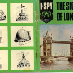
- 02 Jan 2014 - 1 commentNot hard, is it? The cover shows a collection of well-known London landmarks, most of them looking much the same now as they did when this book was published in 1968. But it was nostalgia rather than a quest for information that led me to buy this on ebay recently. Although I had quite a large collection of I-Spy books as a child, I never had this one - probably because I didn't grow up in London :-( I was curious to find out what 'sights' it covered and whether they could all still be spott…
-
Ethnic sculptures from Camgib, Seirf and Ekoc
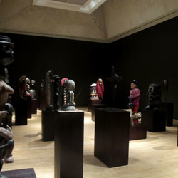
- 29 Dec 2013Try saying the places names backwards and you'll get what it's all about! And if that doesn't give it away, this guy will... Its 'The Chapman Family Collection' at the Tate Britain. We wandered in to the darkened room and walked among what at first seemed to be a collection of ethnic carvings. Then Jade said, "Isn't that Ronald McDonald?" And the we realised that every one of the 34 sculptures had a McDonald's connection! Like this one with arms in the shape of the golden arches:…
Jump to top
RSS feed- Latest articles - Subscribe to the latest articles of Jen Pedler
- ipernity © 2007-2024
- Help & Contact
|
Club news
|
About ipernity
|
History |
ipernity Club & Prices |
Guide of good conduct
Donate | Group guidelines | Privacy policy | Terms of use | Statutes | In memoria -
Facebook
Twitter

