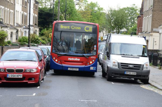
I started with Chester Road; Victorian terraced houses along each side. What amazes me is that it's quite a narrow road but parking is allowed on each side even though it's a bus route. Makes a tight squeeze for the bus in places.
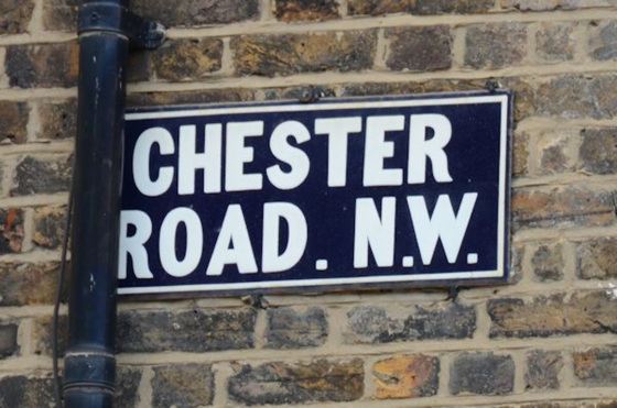
This street is firmly in N19 according to the A-Z but it seemed to have a crisis of confidence at one point as there's an old blue enamel sign showing the postcode as NW.
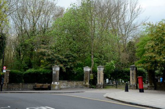
When it reaches the junction with Raydon Street, the road curves left with Highgate Cemetery (East) on the right and continues down to Swain's Lane (N6).
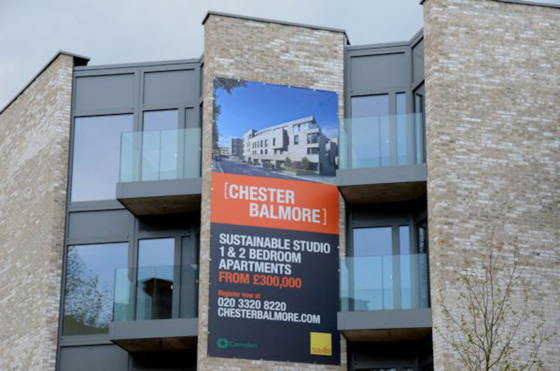
At this point a new development is currently being built - Chester Balmore as it runs between Chester Road and Balmore Street.
What is a 'sustainable' appartment, I wondered.
Wikipedia tells me that: "Sustainable development is an organizing principle for human life on a finite planet. It posits a desirable future state for human societies in which living conditions and resource-use meet human needs without undermining the sustainability of natural systems and the environment, so that future generations may also have their needs met." So I guess that means they're ecologically friendly. And hopefully the running costs will be cheap because the cost of buying one certainly isn't. You would imagine that a studio flat would be the cheapest and as prices start at £300k presumably that's how much one would set you back. Ouch!
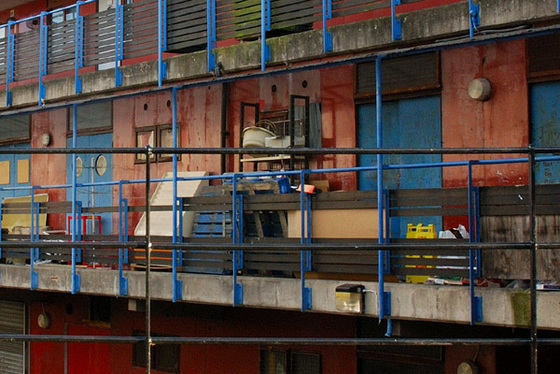
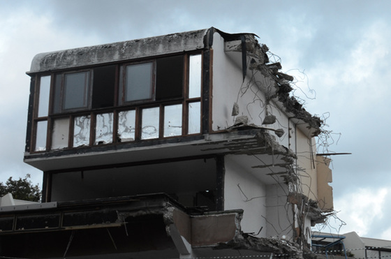
The new development replaces a previous block of flats that always looked like a shanty town to me. Here's a pic taken in 2009.
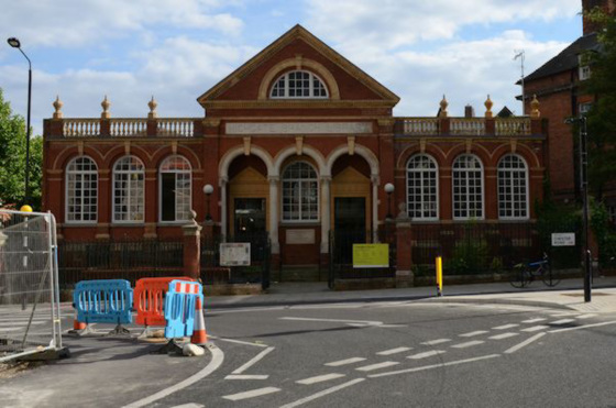
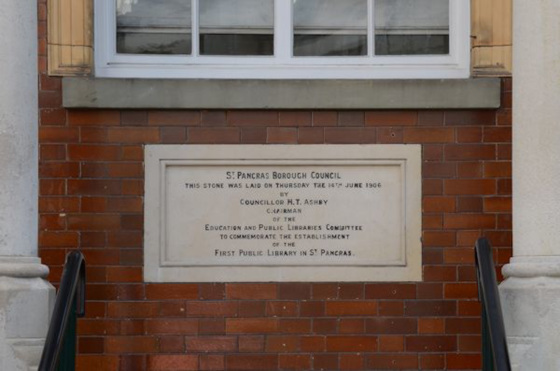
On the opposite side of the road is Highgate Branch Library; a rather splendid Edwardian building dating from 1906 as the foundation stone informed me.
It also told me that it was the first public library in St Pancras (one of the metroplitan boroughs that was merged with Hampstead and Holborn when LB Camden was created in 1965). It's constantly under threat of closure but that seems to be in abeyance at the moment and it looked as if it had recently been cleaned so hopefully it will be a while before there's another assault on it.
All photos of Chester Rd
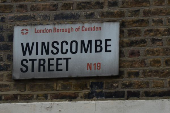
The first of the culdesacs that turn left off Chester Road is Winscombe Street; three-storey Victorian Terraces along each side.
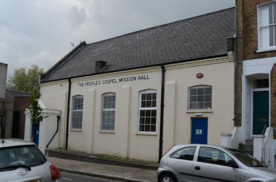
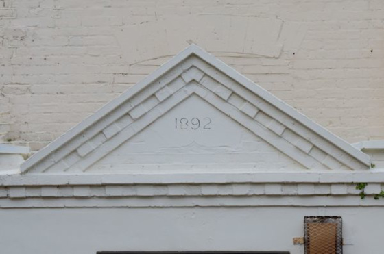
I don't know anything about the history of this and haven't been able to find anything out by googling either. All I can tell you is that it was built in 1892 and that it still seems to be in use for something or other.
Highgate Library has a good collection of local history stuff so perhaps I could find out more there. Yet another thing for the to do list.
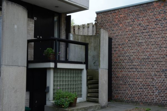
Across the end of the street there is a terrace of 5 town houses, designed by Neave Brown, one of the Camden Architects' Dept. responsible for the design of Highgate New Town. He used to live in one of these houses.
All photos of Winscombe St
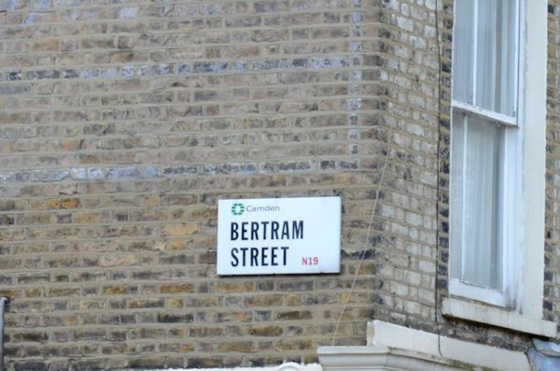
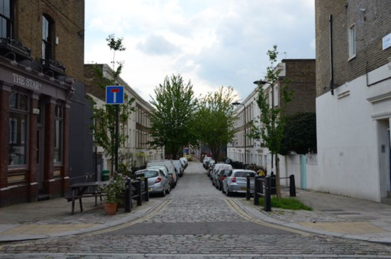
The next culdesac is Bertram Street.
A cobbled street with three-storey terraces along each side.
On one corner is The Star. Now a fairly pleasant gastro-pub, previously a rather run down local boozer with a name that eludes me. It has an upstairs function room and I've been to a few parties there over the years.
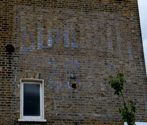
On the opposite corner is an almost indecipherable ghost sign which, for some reason, I had never noticed before.The consensus of opinion is that it's for 'Lifebuoy Soap'.
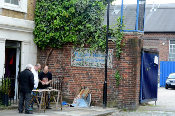
The street leads down to Highgate Newtown Community Centre - a hive of local activities. A group of men were busy with a d-i-y project outside the corner house.
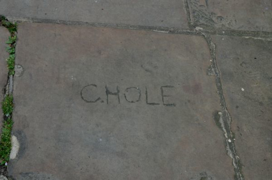
I also noticed a rather curious inscription in a paving stone - Chole. I wondered if someone had been trying to write 'Chloe' but misspelled it.
I decided not to continue down Chester Road past the cemetery as I often walk that way to or from the Heath and I'd only have had to walk back up.
All photos of Bertram St
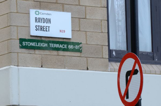
Instead, I turned right into Raydon Street.
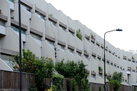
The left-hand side of the street is dominated by the long curve of Stoneleigh Terrace. This is part of the Whittington Estate, often considered to be part of Highgate New Town, designed by Peter Tabori, another of Camden's innovative 60s/70s architects. It's similar to the Neave Brown designed Alexandra Road Estate and will be covered in a future installment. Suffice it to say here that Camden built some stunning public sector housing in the 60s/70s and that Thatcher's sell-off of the council housing was a crime and, in my opinion, one of the major factors contributing to the current housing crisis.
All photos of Raydon St
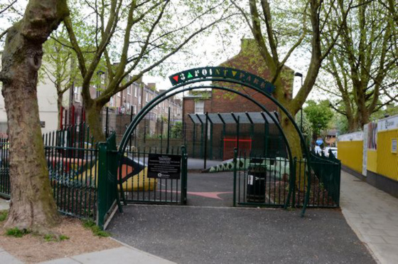
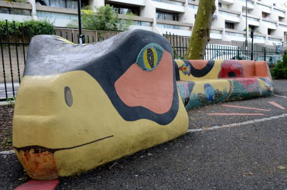
I Turned off Raydon Street into Balmore Street along a passage between the new flats and the little Three Point Park playground ...
The street has Victorian terraces along each side; most divided into two or three flats. Many, if not all of them, once belonged to the Council; some are still rented as social housing but a lot have been bought under right to buy.
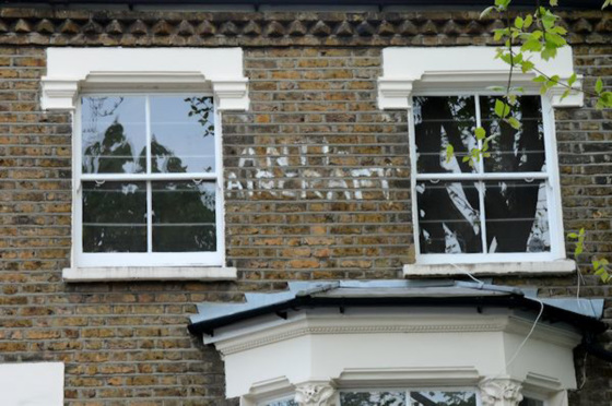
I was amused by the hand-painted 'Anti Aircraft' slogan between two first-floor bedroom windows. We're not near an airport and not particulary under a flight path. Planes do circulate over here from time to time, presumably in a Heathrow holding pattern, but only occasionally low enough to be disturbing so perhaps this is part of someone's fantasy world?
All photos of Balmore St
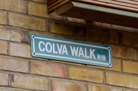
At the end of Balmore St an arch leads you out on to Dartmouth Park Hill - the original line of the street before the redevelopment. Just before that there's a little pedestrainised turning off to the right - Colva Walk - that runs through to Chester Rd.
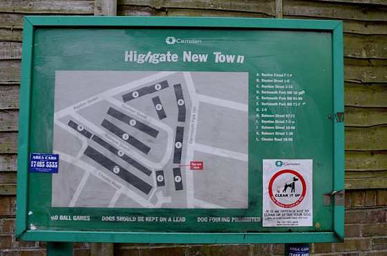
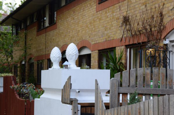
Curiously it has a green street name sign and on the plan at the start of this post it's not named at all - it's the block marked G with the numbers 1-5. Perhaps the name was an after-thought? (Although it is listed in the A-Z). It's a terrace of two-storey yellow-brick houses in the same style as the rest of the new parts of Highgate Newtown
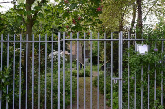
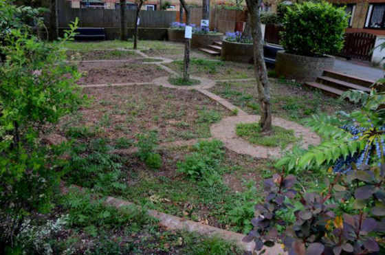
Balmore Street bends round to the left and morphs into Doynton Street. It's not apparent when one street ends and the other begins as the section running round the curve is just the backs of the Dartmouth Park Hill flats with parking and a little community garden (that generally seems to be locked) opposite.
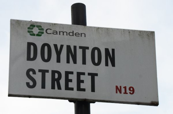
I didn't notice a Balmore Street sign anywhere - perhaps there used to be one at the Raydon St end and it disappeared with the new development - and the only Doynton Street sign was at the Raydon St end.
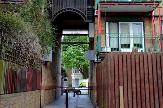
There's another archway going through to Dartmouth Park Hill; this time marking the earlier line of Doynton Street.
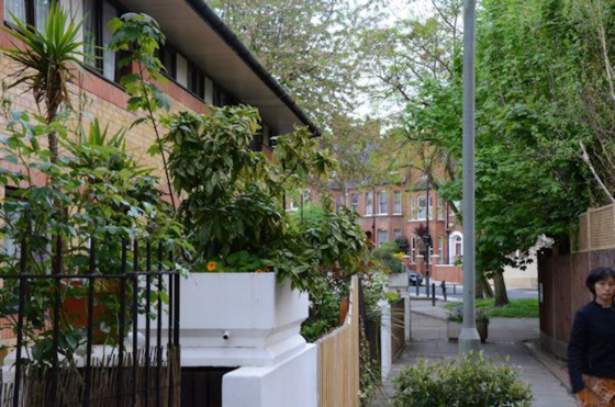
The rest of the street has Victorian terraces along the left and two-storey yellow-brick Highgate New Town houses on the right.
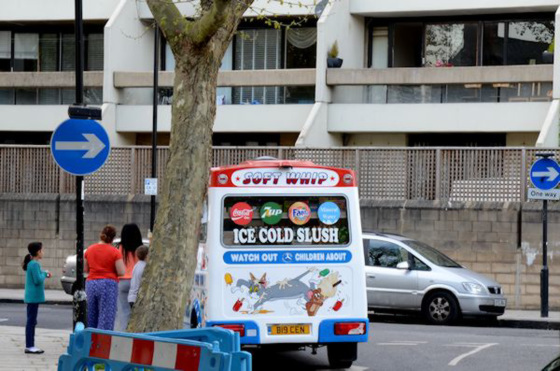
And on the corner as I came back into Raydon Street, an ice-cream seller was taking advantage of a warm spring day.
All photos of Doynton St
< Part 6


Sign-in to write a comment.