

Roger (Grisly)'s photos
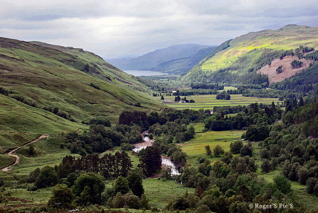

Down the Valley,
The River Broom is slowed to a trickle, its water used by the Cuileig Hydro Power Station,
At the bottom of Strath More is Loch Broom which is home to the port of Ullapool,
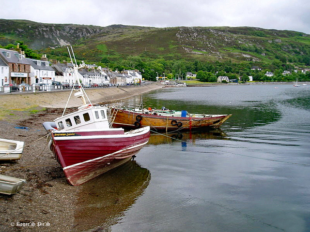
Ullapool, Scotland
Stuck in Ullapool for today, due to a technical issue,
In the meantime, a pair of rather elderly images, both of which feature Shore Street as it used to be.

Shore Street,
Ullapool, from 2011, Parking spaces available and not a motor home in sight!
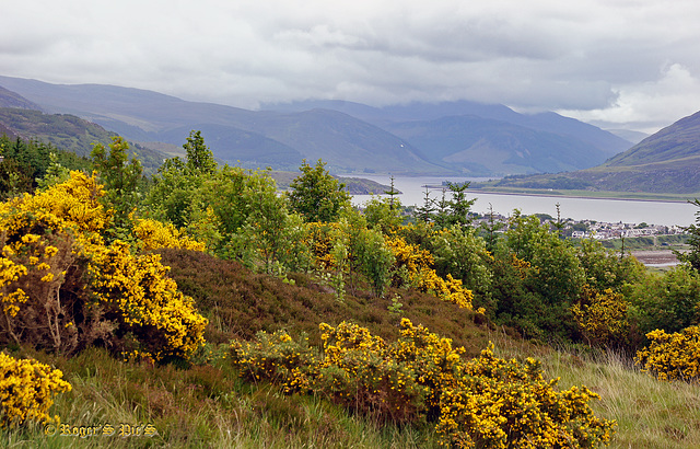
Loch Broom
The port of Ullapool is visible middle right, Large view please,
A village of only 1500 residents, it is still the largest settlement for miles around. Founded as a herring port, it is now used as a fishing port, yachting haven, and as one of the main ferry ports for the Outer Hebrides.
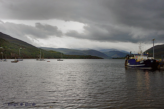
Ullapool Storm,
A fast moving afternoon storm approaches Ullapool Harbour as a Trawler prepares to unload its catch,
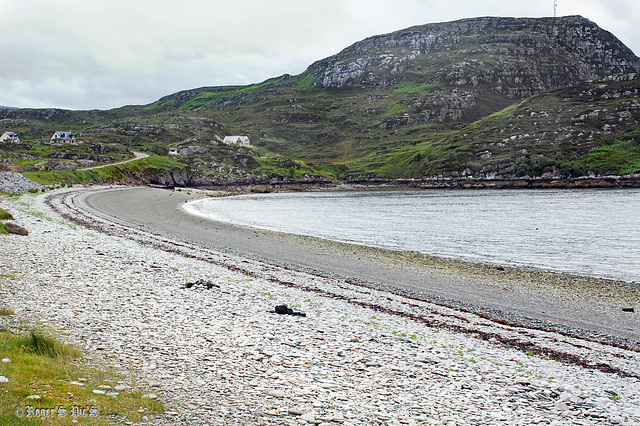
Loch Cainaird
The waters of the loch lap gently on the pebbly beach of Loch Cainaird at Ardmair, producing that soporific effect that comes from waves on pebbles.
The headland is Ardmair Point and to the left of the image is the A835 road which forms a part of the "North Coast 500",
Large view recommended
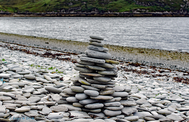
Cairn.
The result of someone's patience on the beach of Loch Cainaird at Ardmair
Large Please.
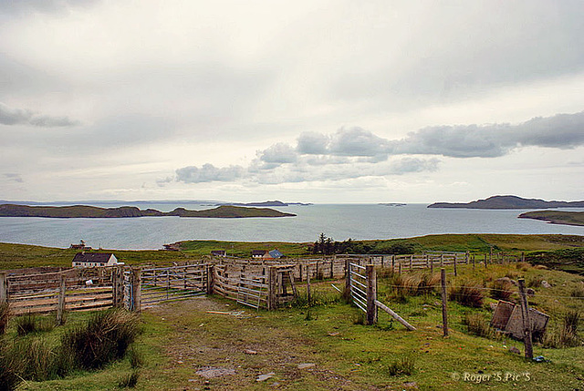
The Summer Isles,
A small diversion from the main road to the Coigeach Peninsula at Achiltibuie, This is looking west to the Summer Isles. These are a group of about 20 islands, rocks and skerries within the Wester Ross Marine Protected Area, all are unpopulated.
An image from the archives
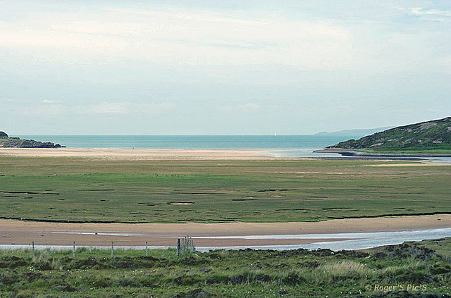
Coigeach Peninsula
Another image from this peninsula with a varied landscape this is Achnahaird Beach, looking North,
A headland on Assynt can just be seen in the distance.
An image from 2012 for the "North Coast 500" group
