

slgwv's photos
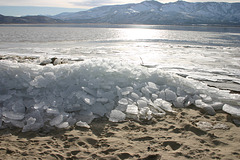
Ice II, Washoe Lake
| |
|
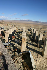
Foundation, Tunnel Camp, Seven Troughs district, P…
| |
|
|
|
So I like vanishing points :) This would have been the mill foundation for the ore processing.
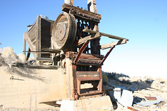
Stamp Mill, Seven Troughs district, Nevada
| |
|
|
|
Usual 19th-century device for crushing ore. The stamps look like big pistons, with the wide end at the bottom being the "hammer" part. The big pulley on the side turned a shaft with cams on it, which would engage pawls on the shafts of the stamps. The cam would lift the stamp and then release it as it kept turning, so that the stamp dropped onto the ore. The stamps were set up to drop successively in a particular order so as to maximize the crushing effect. (This looks like a 5-stamp unit.) As you might imagine, stamp mills made a terrific racket, especially since they were usually run 24/7. They were rendered obsolete by such things as cone crushers, which are both less prone to jamming and yield a more consistent product.
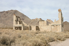
Rhyolite, old bank ruin
| |
|
And this is the old bank ruin as it looked in January 2007. There's been no obvious additional degradation since 1959.
Kinda nice, actually...
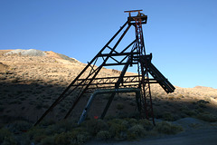
Headframe silhouette
| |
|
With a somewhat more modern water pipe retrofitted! Seven Troughs district, Pershing County, Nevada, USA.
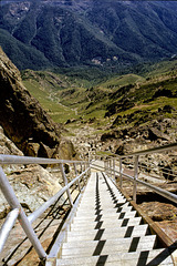
Stairway Down!
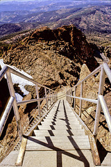
Watch that first step--
| |
|
|
|
The topmost of three flights of stairs to the Sierra Buttes fire lookout, in California near the northern end of the Sierra Nevada.
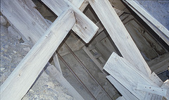
Track, Nevada Quicksilver Mine
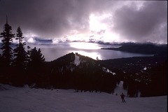
Lake Tahoe
| |
|
|
|
From Diamond Peak ski area, above Incline Village, Nevada. Stateline Point in the middle distance, which (as its name suggests) marks the California line. Probably not most folks' mental image of Nevada ... ;)
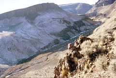
Little High Rock Canyon
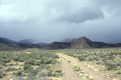
Storm over Fang Ridge
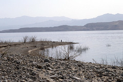
Shoreline, Overton Arm

Washoe Lake Shoreline
| |
|
|
|
I liked the way the ripples curved into the shoreline. You could use the photo in a physics class to show wave refraction :)
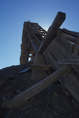
Nevada Quicksilver Mine
| |
|
|
Antelope Springs District, Pershing County, Nevada, USA. This mine was active up thru ca. 1970. Mercury (a.k.a. quicksilver) used to be a valuable strategic metal, and there were earnest predictions as late as 1980 or so that it would be the first metal to have major shortages.
Of course, now you can't give the stuff away...
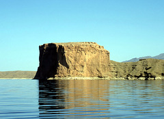
The Temple, Lake Mead
| |
|
|
|
On the Nevada side, across from Temple Bar marina. Lake Mead National Recreation Area, Arizona-Nevada, USA.
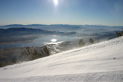
Washoe Lake and Valley, Nevada, USA
| |
|
Taken from Zephyr Run, Mt. Rose Ski Area, on Slide Mountain. Looking slightly east of south; Carson City is in the valley beyond. There's ice on the lake! Highway 395 runs along the right (west) side of the lake.
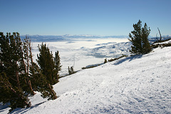
Pogonip from Slide Mountain.
| |
|
|
|
Icy valley fog in Eagle and Carson Valleys. "Pogonip" can also mean the thick hoarfrost the fog deposits. It's evidently a corruption of a Paiute word. Taken from off Zephyr Run on Slide Mountain, Mt. Rose ski area. It was warmer up here than down there! Washoe County, Nevada, USA.
IMG_7274_small
| |
|
