slgwv's photos
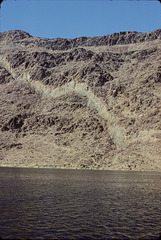
Fault Scarps in Virgin Canyon
| |
|
|
Lake Mead, USA, looking toward the Nevada side. As the reservoir filled, here and there the slopes of the surrounding canyon failed as they got soaked. I don't know the timescale offhand--I suspect they're still slowly sliding, but that most of the motion happened soon after the ground first got saturated. It's an example of geologic consequences from human activity! ;) Btw, with the current drought the lake in this area has pretty much returned to the original river channel.
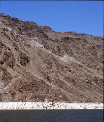
Fault scarps, Virgin Canyon
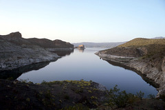
Grebe Bay, a cove off Virgin Basin
| |
|
|
On the Arizona side of Lake Mead (despite what Google Maps claims). We parked the houseboat here one night.
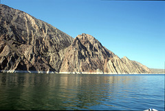
Entrance to Iceberg Canyon
| |
|
|
|
From Gregg Basin. Lake Mead, Nevada-Arizona, USA, looking toward the Nevada side. The strata on the left are Paleozoic units equivalent to the Grand Canyon section--but they've been tilted on a major Basin and Range fault!
The lake level was considerably higher when the photo was taken than it is now, too. The Colorado River has returned to its channel thru here.
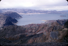
Boulder Basin
| |
|
From the summit of Fortification Hill. Saddle Island and Boulder Beach are directly across the lake. Hoover Dam is out of sight off to the left.
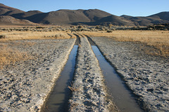
Track, Washoe Lake State Park
| |
|
|
|
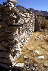
Stone wall, Coppereid, Nevada
| |
|
White Cloud mining district, Churchill county. This area produced small amounts of Cu ore from the late 1800s up thru the 1950s or so. A marginal base-metal operation like this is a great way to make a small fortune...provided, of course, you start with a _large_ fortune.

Headframe silhouette, Gold Hill, Nevada, USA
| |
|
Complete with a crescent moon and Venus! Crown Point Mine, taken from the parking lot of the Gold Hill Hotel, which is still in use.
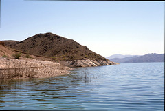
Entrance to Gregg Basin

Mill Foundation, Jumbo District
| |
|
Washoe County.
Not much left of Jumbo...
Curiously, altho this area is only a few miles from the Comstock, there was no significant mining activity till the early 1900s.
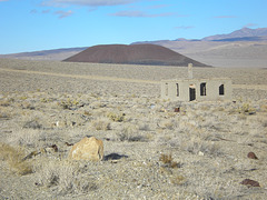
Blair, Nevada, USA
| |
|
|
|
Silver Peak district, Esmeralda County. I liked the cinder cone ("The Crater") in the background...
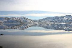
Reflections I, Washoe Lake
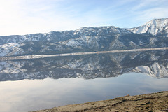
Reflections II, Washoe Lake
| |
|

Reflections III, Washoe Lake
| |
|
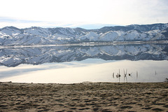
Reflections IV, Washoe Lake
| |
|
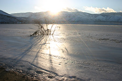
Ice and Sun
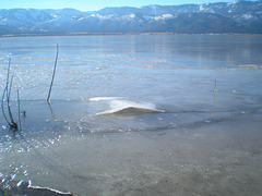
Buckled Ice
| |
|