slgwv's photos

03-maddy_on_trail_ig_adj
| |
|

02-maddy_on_trail_ig_adj
| |
|

05-trail&view_ig_adj
| |
|

01-path_ig
| |
|
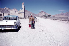
Rhyolite March 1959
| |
|
The amusement part: note the blue-and-white 1956 Ford wagon! The little boy is yours truly, the girl is my kid sister, and the man is our dad, who quit smoking in 1964.
The rephotography part: Note the ruin of the old bank building in the left background (outlined).

Mt. Rose Ski Area
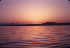
Sunset on Boulder Basin
| |
|
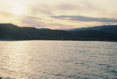
Cottonwood Wash
| |
|
|
|
Lake Mohave, but still the Lake Mead National Recreation Area! Lake Mohave is backed up by Davis Dam on the Colorado River, downstream from Hoover Dam. Like Hoover Dam it also crosses the river between Nevada and Arizona. We're on the Nevada side here. Btw, "Mohave" is an Anglicized spelling of "Mojave" that's popular in Arizona but not much used otherwise.
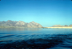
Sandy Point
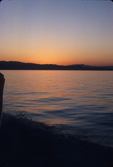
Sunset
| |
|
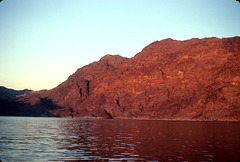
Cliff on Lake Mead
| |
|
|
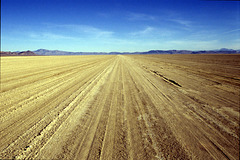
Black Rock Playa
| |
|
|
|
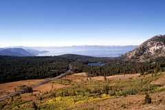
Lake Tahoe from Mt. Rose Trail
| |
|
|
|
Looking south; Nevada highway 431 in the left foreground, California on the skyline. Washoe County, Nevada, USA.
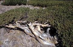
Krummholz on Mt. Rose
| |
|
|
|
Off the trail near the summit. "Krummholz" means "crooked wood" in German, and is used by botanists to describe the highly stunted and deformed trees around timberline.
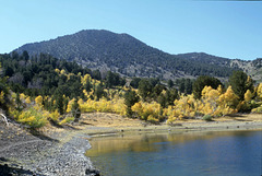
Fall colors at Church's Pond, Mt. Rose
| |
|
|
|
Washoe County, Nevada, USA. In the Carson Range, the spur of the Sierra Nevada that juts into Nevada, and that defines the east side of Lake Tahoe.
Btw, the pond is named for James E. Church, a prof at the University of Nevada. Over a hundred years ago he invented the technique of measuring the winter snowpack to forecast the following year's water supply.
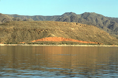
Fault Scarp, Gregg Basin
| |
|
|
|
On the Arizona side of Lake Mead. The slope failed as it got soaked with water when the reservoir filled.
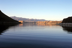
Lake Mead view
| |
|
|
|
On the Arizona side, looking north toward Nevada. Note The Temple in the distance on the left.