South Grove | Pond Square
The Lawns
The Lawns
Bacon's Lane
Merton Lane/West Hill Park
Holly Lodge Gardens
Gate house
GR letter box
Robin Grove
John Betjeman's childhood home
GR letter box
Topiary with mirrors
St Anne's church
West Hill reflected
Church:Walk
Face on the right
Face on the left
Victorian gothic chimneys
Holly Village entrance
Brookfield School
... Road?
Blue railings
Shanty town London
Angel Yard
Bellows
Townsend Yard
Grumpy
Wicked
Ball
Elephant
Fearys Row 1791
Woodford Station
London Loop plaque
Chigwell Station
Chigwell Station
Chigwell Village
Canary Wharf across the fields
Crossing the M11
River Roding
Goose promentory
Roding Valley lake
Crossing the Central Line
Hidden path
Buckhurst Buildings
Clouds over the cricket pitch
Location
Keywords
Authorizations, license
-
Visible by: Everyone -
All rights reserved
-
110 visits
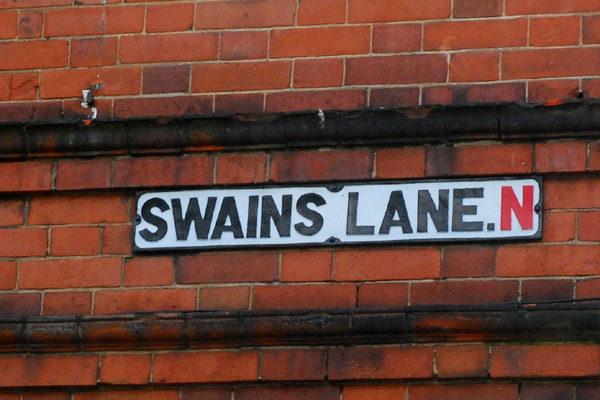
Swains Lane


Highgate, N6.
Leading from the bottom of West Hill by Parliament Hill Fields up to South Grove, Highgate Village. Highgate Cemetery and Waterlow Park bound each side towards the top end.
"This thoroughfare is mentioned as far back as the year 1492 as "Swayneslane," though the less euphonious form usually employed until last century was "Swines Lane." It was one of four parallel routes up the hill to the village, viz. West Hill, Bromwich Walk, Swain's Lane and Dartmouth Hill. Bromwich Walk never developed beyond a footpath and has disappeared. The use of Swain's Lane was mainly to provide access to the adjacent farm lands on either side and there were no dwellings in it except at a few yards from the upper end."
From 'Swain's Lane', Survey of London: volume 17: The parish of St Pancras part 1: The village of Highgate (1936), pp. 39-40. In British History Online
- Keyboard shortcuts:
Jump to top
RSS feed- Latest comments - Subscribe to the comment feeds of this photo
- ipernity © 2007-2024
- Help & Contact
|
Club news
|
About ipernity
|
History |
ipernity Club & Prices |
Guide of good conduct
Donate | Group guidelines | Privacy policy | Terms of use | Statutes | In memoria -
Facebook
Twitter

Sign-in to write a comment.