Somerset Levels
Anything from the large area known as the levels
King Sedgemoor, (1 Note)
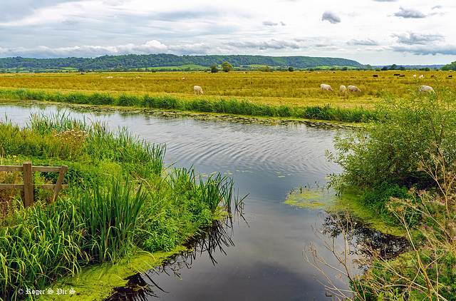
Boundary Rhine runs parallel with the King Sedgemoor Drain, although controlled by sluices water from the Rhyne is allowed to flow into the drain at a number of places, this shot is of the outfall at Greylake on King's Sedgemoor.
The Somerset Levels have an area of about 160,000 acres (650 km2) and are bisected by the Polden Hills; the areas to the south are drained by the River Parrett, and the areas to the north by the rivers Axe and Brue. The Mendip Hills separate the Somerset Levels from the North Somerset Levels. The Somerset Levels consist of marine clay "levels" along the coast and inland peat-based "moors"; agriculturally, about 70 per cent is used as grassland and the rest is arable. Willow and teazel are grown commercially and peat is extracted. (Wikipedia)
To give an idea of the drainage system on the levels I have added a previously posted screen grab from openstreemap,
Large view perhaps,,,,,,,,,,,, Wish you all a nice Friday and a good weekend
Water Control, (1 pip)
This is Greylake and the sluice gates that control water levels on the King's Sedgemoor Drain. This man made waterway is only 9.8 miles long, but it takes the water of the River Cary across King's Sedgemoor before it accepts the waters of the Eighteen-Foot Rhyne , Langacre Rhyne, Sowy River and also taking the waters of Chedzoy New Cut Before flowing into the River Parrett and on to Bridgwater Bay.
It has become very important for the water table on this part of the Somerset Levels
The pip shows the nature reserve from the same location
Large view recommended. A Nice Friday and a good weekend to all !
Trailside Bench
A rest point along one of the trails at Greylake Nature Reserve on the Somerset Levels,
This path was particularly good for butterflies, insects and small birds,
HBM and a great week
Graylake Reserve (1 pip)
A shot from one of the paths at Greylake Nature Reserve on the Somerset levels,
See pip for a closer view of Bulrush
I think a large view gives more detail !
Greylake Greens.
Lush Pasture and many shades of green surround the King's Sedgemoor Drain at Greylake on the Somerset Levels,
Another image from one of the most peaceful places I know
I wish you all a great weekend,,,,,,,,,,,,,,,,,, Large view for clarity please!
Flood Levels are Falling
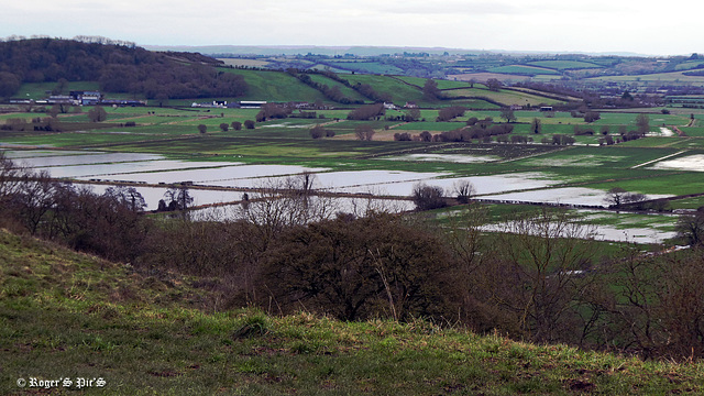
First day out with the camera this year on a bitterly cold and overcast afternoon, I only carried the pocket camera and this is shot in 16.9 therefore a large view would be appreciated !
Flood levels are clearly falling in this view looking across Aller moor towards the town of Somerton and taken from Walton Hill, which is a part of Somerset's Polden Hill range.
Nests and Mistletoe
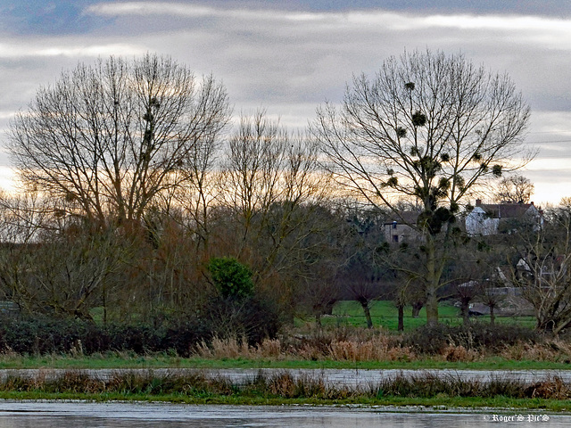
A shot across the floods of Aller Moor on a dull January afternoon, the cold, wet weather appears not to deter the Rooks who already busy with nest preparation.
Captured on my pocket Panasonic and possibly better large!
Jump to top
RSS feed- Latest items - Subscribe to the latest items added to this album
- ipernity © 2007-2024
- Help & Contact
|
Club news
|
About ipernity
|
History |
ipernity Club & Prices |
Guide of good conduct
Donate | Group guidelines | Privacy policy | Terms of use | Statutes | In memoria -
Facebook
Twitter


