A Brief History.
In 1086 West “Atun” was recorded in the Doomsday book as being owned by Gilbert son of Lagi. The ownership passed to Gilbert’s grandson who then took the name Aton. Gilbert de Aton was a benefactor to the Priory of Malton and his son Sir William Aton founded a chantry in the Chapel of St John the Baptist in 1383. Prior to the Roman conquest East Ayton was split into three manors owned separately by Blacre, Ghilander and Torbrand. East “Atun” was recorded in the Doomsday book as being owned by William De Percy.
Sir William Aton married Isabel Percy and their daughter married Sir Ralf Eure, to whom is attributed the construction of Ayton castle in the late fourteenth century.
In 1657, three quarters of the manor of West Ayton was acquired by Robert Woolrich who in turn passed the estate to his daughter Dame Sarah Hewley upon his death in c.1662. Her husband Sir John Hewley, also purchased lands in West Ayton. Dame Sarah Hewley set up a charity in 1704 to provide money for the religious poor and for the education of ministers for the church. In 1710 Lady Hewley died leaving her estate in hands of the trustees for her charity. Further land was bought by the Charity in the mid-nineteenth century and it was not until the mid-twentieth century that the trustees of Lady Hewley’s charity sold approximately 1395 acres of the West Ayton estate in June 1951.
East Ayton remained in the ownership of the De Percy family and was passed down through the generations, until 1912 when the majority of the East Ayton estate was sold by auction, primarily to the tenants of the time.
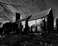
The early agricultural settlements of East and West Ayton developed in this location due to the intersection of the River Derwent and the vehicular route linking Pickering and Scarborough. The earliest surviving structures are the Norman church of St John the Baptist in East Ayton and the remains of the fourteenth century Ayton Castle located in West Ayton.
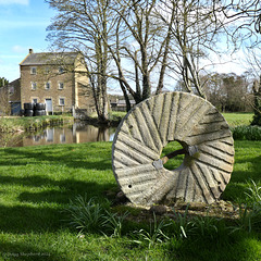
During the thirteenth and fourteenth centuries the main industry of the villages and the surrounding areas was the production of wool which was transported to the docks of Hull. Evidence of this can be seen in the remains of the East Ayton Fulling Mill which was located on the banks of the River Derwent close to Ayton Castle. In addition there is evidence of an ancient iron forge formerly located in East Ayton (exact location unknown) but was recorded as being a Chapel of Ease in 1840. This forge led to the name of Forge Valley given to the valley through which the River Derwent flows
between the two villages.
A Brief History.
In 1086 West “Atun” was recorded in the Doomsday book as being owned by Gilbert son of Lagi. The ownership passed to Gilbert’s grandson who then took the name Aton. Gilbert de Aton was a benefactor to the Priory of Malton and his son Sir William Aton founded a chantry in the Chapel of St John the Baptist in 1383. Prior to the Roman conquest East Ayton was split into three manors …
(read more)


