Gudrun's photos
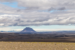
Bárðarbunga and Háganga
| |
|
|
|
Looking NE from Sprengisandur to Bárðarbunga (left under Vatnajökull glacier) and Háganga rhyolithic cone
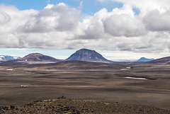
Syðri Háganga
| |
|
|
|
Syðri Háganga rhyolithic cone seen from the viewpoint on Kistualda, Vatnajökull in the background
Panorama Hágöngur from Kistualda
Tungnafellsjökull from Nýidalur hut
| |
|
|
|
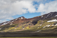
Tungnafellsjökull is a dormant palagonite volcano southwest of Bárðarbunga, near the centre of the hot spot and the triple junction. Repeated quakes in the fissure swarm so far have been merely tectonic.
Aldeyjarfoss Panorama
| |
|
|
|
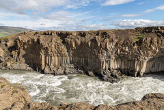
At Aldeyarfoss the river Skjálfandafljót drops 20m over the basalt colums of the Suðurárhraun lava field.
River Skjálfandafljót
| |
|
|
|
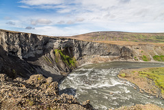
River Skjálfandafljót breaking through the basalt columns of Suðurárhraun lava field
Skjálfandafljót and Bárðardalur
| |
|
|
|
Downstream from Aldeyarfoss river Skjálfandafljót makes a bend before flowing north through Bárðardalur.
Bárðardalsvegur vestri (road 842) leads through Bárðardalur. At the end of the valley this turns into highland road Sprengisandsleið (F26), suitable only for 4WD.
Geitafoss and Goðafoss
| |
|
|
|
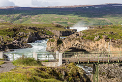
Near the ring road river Skjálfandafljót falls in two stages: 12 m high, 30m wide Goðafoss and smaller Geitafoss.
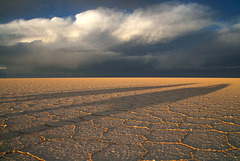
Sunset on Salar de Uyuni
Salar de Uyuni
Laguna Hedionda
| |
|
|
|
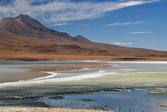
Laguna Hedionda (4121m) is a breeding ground of the rare James' flamingo. The colours derive from sulphur- as does the smell;-)
Desierto de Siloli
| |
|
|
|
High altitude volcanic desert (around 4600m here at Ojo de Pérdiz) near the border with Chile
Sol de Mañana
| |
|
|
|
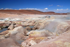
Geothermic field at 4850m - intense volcanic activity with fumaroles, sulphur springs, mudpools
Cerro Amarillo
| |
|
|
|
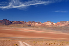
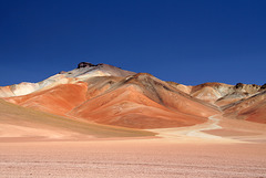
Volcano situated in Eduardo Avaroa National Park (SW Bolivia) near the border to Chile
boliviarea.com/ES
de.wikipedia.org/wiki/Reserva_Nacional_de_Fauna_Andina_Eduardo_Avaroa
en.wikipedia.org/wiki/Eduardo_Avaroa_Andean_Fauna_National_Reserve
Laguna Salada
| |
|
|
|
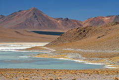
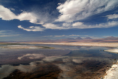
Laguna Salada (ca. 4400m) is part of Salar de Chalviri in Eduardo Avaroa National Park, SW Bolivia
Salar de Chalviri
| |
|
|
|
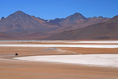
Part of Reserva Nacional de Fauna Andina Eduardo Avaroa in SW Bolivia - the "Bolivian Tibet"
Mina Concordia
| |
|
|
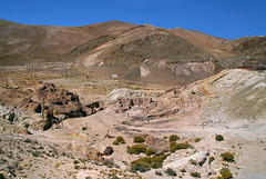
Tren a las Nubes circles round this abandoned gold mine at 4144m. Coming back from Viaducto de Polvorilla the train stops at the station to shunt the locomotive for the descent to Salta.
Laguna Chaxa
| |
|
|
|
Situated in Salar de Atacama and part of Reserva Nacional Los Flamencos, Laguna Chaxa (ca. 2300m) is an important breeding site for Andean flamingoes

