10-09-16
Folder: unsorted
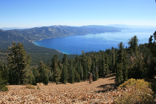
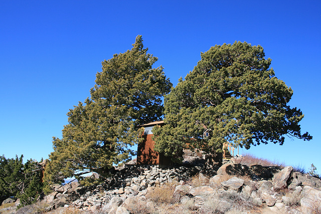
Tahoe Rim Trail, near Martis Pk.
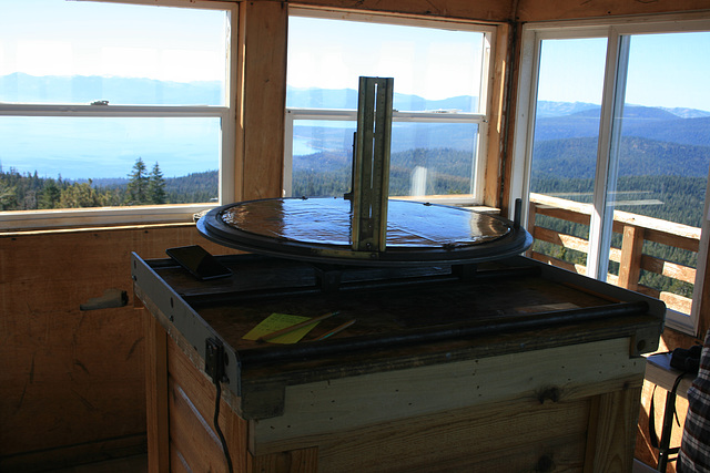
Plane table & alidade
Martis Peak fire lookout, California. For finding the azimuth of a smoke sighting. Lake Tahoe is visible thru the windows. Looking more or less southwest.
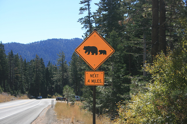
Bear crossing
On Nevada State Route 431 (the Mount Rose highway) above Incline Village, NV, in the Tahoe Basin. Yes, there are bears here, and they can be a nuisance!
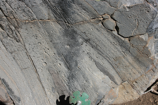
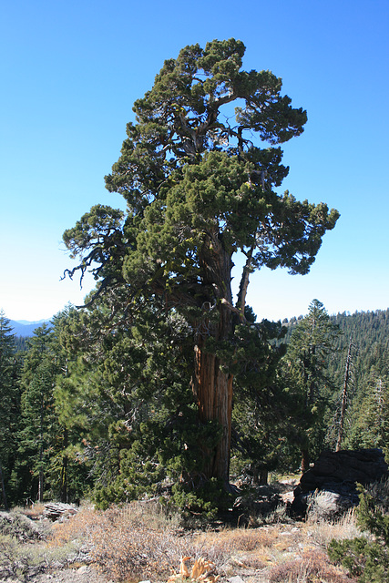
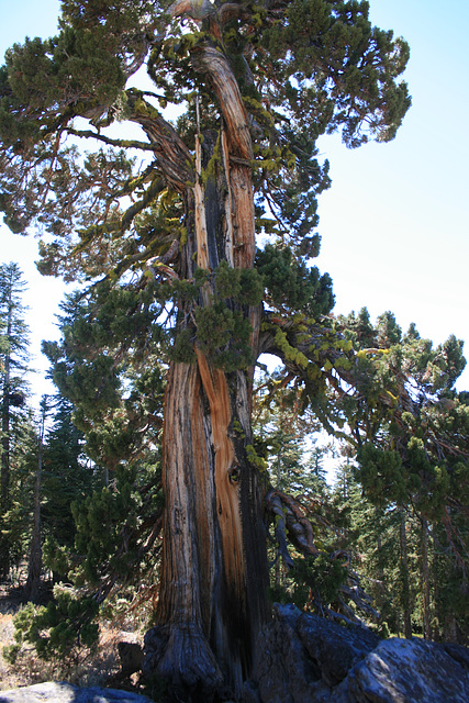
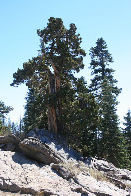
Big juniper
Another in my collection of Very Large Junipers at High Altitude. This one is off the Tahoe Rim Trail maybe a mile from the Martis Peak Fire Lookout. The insets show the tree as seen from the other side, and a close-up of the trunk. California, a couple miles from the Nevada line.
Jump to top
RSS feed- Latest items - Subscribe to the latest items added to this album
- ipernity © 2007-2024
- Help & Contact
|
Club news
|
About ipernity
|
History |
ipernity Club & Prices |
Guide of good conduct
Donate | Group guidelines | Privacy policy | Terms of use | Statutes | In memoria -
Facebook
Twitter

