8-20-16
Folder: unsorted
Leavitt Lake hike
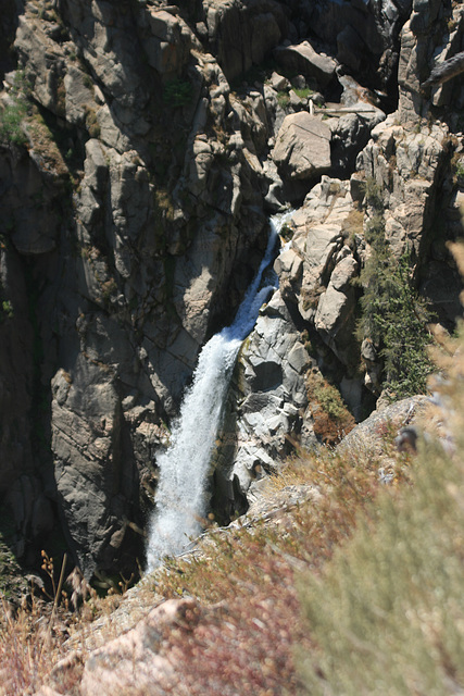
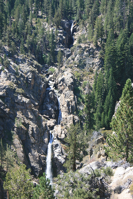
Leavitt Falls
On Leavitt Creek, just off the Sonora Pass Highway (CA 108) on the east side of California's Sierra Nevada. Inset is a close-up of the lower fall.
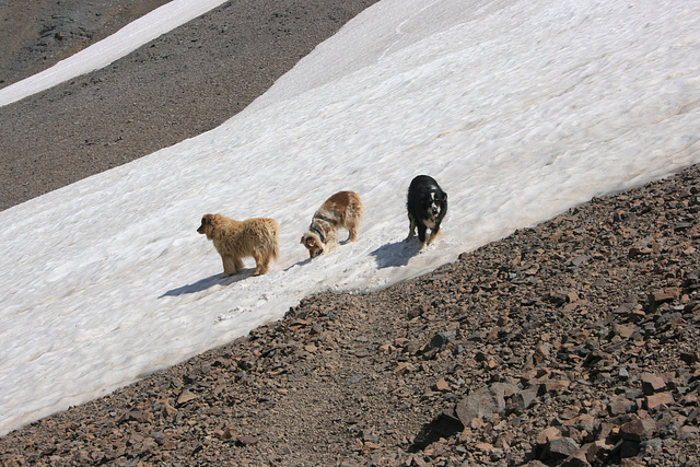
Snow!
(L to R): Cole, Jill, & Jack on a surviving patch of snow, off the old Jeep trail to Leavitt Lake Pass in the Sierra Nevada, California. Elevation here is about 10,250 ft (3124 m). The well defined path is a use path to the snowfield--the snowfield is persistent enough it shows up on the USGS 7.5' topo! (Pickel Meadow.)
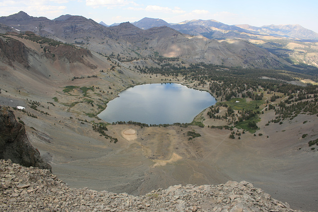
Leavitt Lake
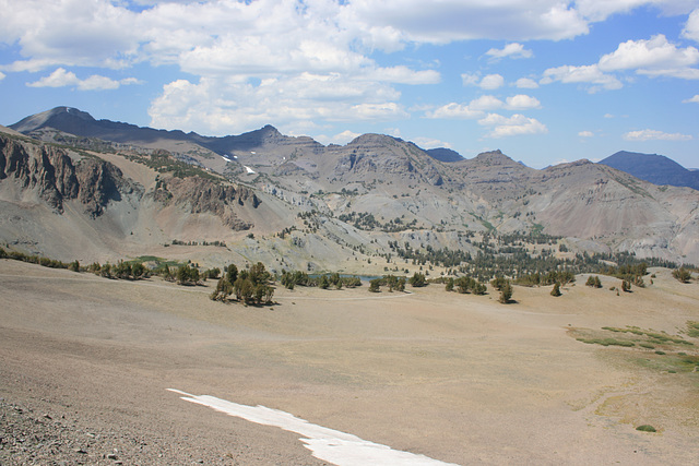
In California's Sierra Nevada, another one accessed by a serious 4wd track (the dirt road visible on the far side of the lake). This is off the Pacific Crest Trail, looking pretty much north over the lake from the cliff rimming the cirque. Elevation here is about 10,500 ft (3200 m). Per the USGS topo, the elevation of Leavitt Lake is 9556 ft.
Jump to top
RSS feed- Latest items - Subscribe to the latest items added to this album
- ipernity © 2007-2024
- Help & Contact
|
Club news
|
About ipernity
|
History |
ipernity Club & Prices |
Guide of good conduct
Donate | Group guidelines | Privacy policy | Terms of use | Statutes | In memoria -
Facebook
Twitter

