UT - Cascade Falls
Folder: Utah
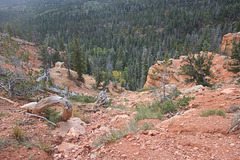
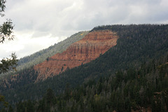
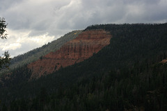
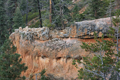
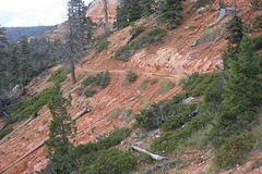
An outlet for Navajo Lake. The water has found its way thru fissures and caves in the ridge of Claron (formerly Wasatch) Formation to the south, the Pink Cliffs, to drop directly into the drainage of the Virgin River, above Zion National Park. The orange-and-white weathering Claron Formation is also what Bryce Canyon and Cedar Breaks are eroded into, so the resemblance is not accidental!
IMG_0787
| |
|
IMG_0788
| |
|
IMG_0789
| |
|
IMG_0790
| |
|
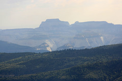
Toward Zion
| |
|
|
|
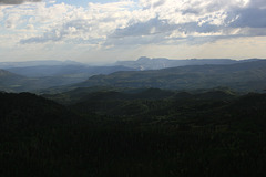
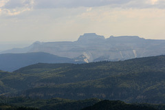
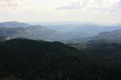
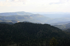
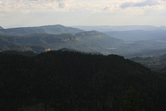
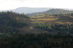
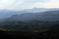
View from the Cascade Falls trail south toward the valley of the upper Virgin River and Zion National Park. Some of the ramparts and mesas in Zion are visible in the distance. Utah, USA.
IMG_0792_adj
| |
|
IMG_0793_adj
| |
|
IMG_0794_adj
| |
|
IMG_0795_adj
| |
|
IMG_0796_adj
| |
|
IMG_0797
| |
|
IMG_0798_adj
| |
|
IMG_0799_adj
| |
|
IMG_0800_adj
| |
|
IMG_0801_adj
| |
|
IMG_0802_adj
| |
|
IMG_0804
| |
|
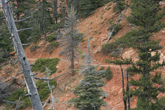
Aftermath of the monsoon
| |
|
|
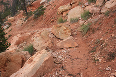
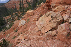
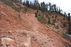
Damage on the Cascade Falls trail due to runoff. It was the 6th strongest rainfall on record at Zion National Park, about 30 miles south. Utah, USA.
Jump to top
RSS feed- Latest items - Subscribe to the latest items added to this album
- ipernity © 2007-2024
- Help & Contact
|
Club news
|
About ipernity
|
History |
ipernity Club & Prices |
Guide of good conduct
Donate | Group guidelines | Privacy policy | Terms of use | Statutes | In memoria -
Facebook
Twitter

