6-29-14
Folder: 2010s
IMG_3650
| |
|
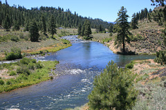
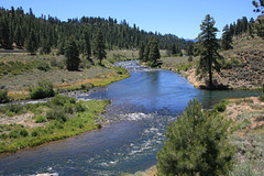
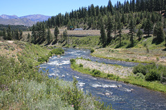
Truckee River
| |
|
|
|
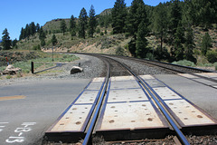
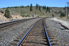
California, USA. The highway is Interstate 80, heading west up to Donner Pass over the Sierra Nevada. This has been a major transportation corridor into California since before the Gold Rush days. The original transcontinental railroad also follows this route--it's right behind me. The stream entering the Truckee at right center is the Little Truckee River. Map position is even more approximate than usual due to the loss of the "satellite view" feature!
IMG_3652
| |
|
IMG_3653
| |
|
IMG_3654
| |
|
IMG_3655
| |
|
IMG_3656
| |
|
Boca Dam
| |
|
|
|
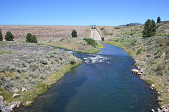
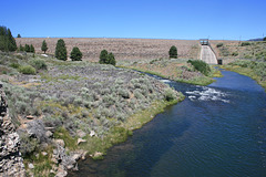
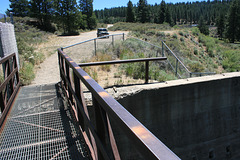
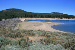
On the Little Truckee River, northern Sierra Nevada, California, USA. It backs up Boca Reservoir, which is currently extremely low due to the drought, and which is one of the storage reservoirs on the Truckee River drainage. There are pix of the shrunken reservoir elsewhere in this set.
IMG_3658
| |
|
IMG_3659
| |
|
IMG_3660
| |
|
IMG_3661
| |
|
IMG_3662
| |
|
IMG_3663
| |
|
Back of Boca Dam
| |
|
|
|
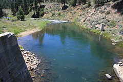
Showing how low the reservoir is! Little Truckee River, Sierra Nevada, California, USA.
IMG_3665
| |
|
IMG_3666
| |
|
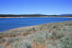
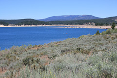
Boca Reservoir
| |
|
|
|
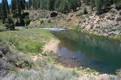
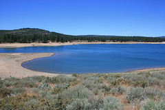
Little Truckee River, California, USA. Showing the effects of the drought--and that it _still_ gets lots of recreational usage!
Jump to top
RSS feed- Latest items - Subscribe to the latest items added to this album
- ipernity © 2007-2024
- Help & Contact
|
Club news
|
About ipernity
|
History |
ipernity Club & Prices |
Guide of good conduct
Donate | Group guidelines | Privacy policy | Terms of use | Statutes | In memoria -
Facebook
Twitter

