Geology - The Flood of 1983
Folder: Geology
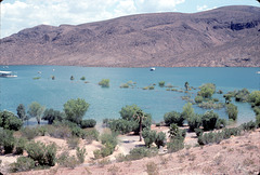
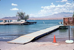
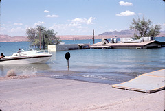
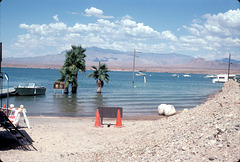
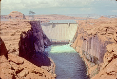
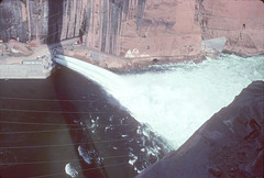
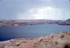
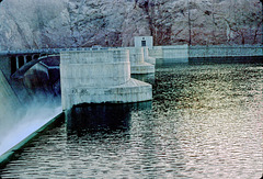
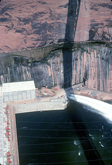
Massive flooding along the Colorado River system, summer 1983. Near-record snowpacks in the 1982-83 winter season thawed due to an early spring, catching the BuRec (Bureau of Reclamation) by surprise. The resulting record runoffs caused the emergency bypass spillways to be used for real for the first, and so far only, time in July 1983 at both Hoover and Glen Canyon dams. At this time both Lake…
(read more)
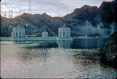
Back of Hoover Dam.
| |
|
|
Note that the penstock towers are completely covered, during the flood of 1983. The original slide was underexposed and has been brightened considerably. The wisps (highlighted on the right) are not an artifact, though. That's mist from the spray raised by water falling into the Nevada spillway.
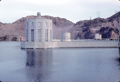
Back of Hoover Dam
| |
|
Penstock towers completely covered! Lake Mead at its all-time high during the flood of 1983.
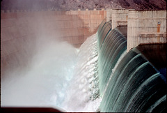
Arizona Falls!
| |
|
|
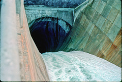
Water falling into the Arizona spillway, Hoover Dam, in the flood of 1983. The first (and so far only) time the spillways have been used for real since they were tested in August 1941.
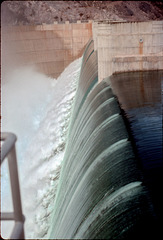
Arizona Falls!
| |
|
Water falling into the Arizona spillway of Hoover Dam in the flood of 1983. This remains the only time the spillways have actually been used (they were tested in 1941).
Down the hatch...
Lake Mead upstream from Hoover Dam
| |
|
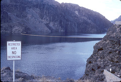
At its all-time highest point during the flood of 1983. Note the complete absence of the bathtub ring!
Here's a comparison with conditions as of 2009:
www.ipernity.com/doc/289859/23645531
Boulder Beach, flood of 1983
Boulder Basin, flood of 1983
Echo Bay, flood of 1983
| |
|
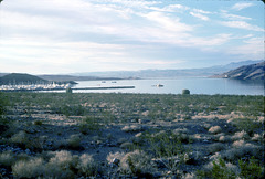
Echo Bay marina off to the left. The campground is flooded; note the line of trees out in the water (including palms up to their fronds)! Outlined.
Here's a link with a comparison to conditions now (2010):
Flood vs. Drought: Echo Bay, Lake Mead, Nevada
Sunken ranger station
| |
|
|
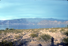
At Overton Beach. Flooded to the eaves, summer 1983! The spillways were tested in August 1941, and the water was never expected to get this high again.
Never say never...
EDIT: I incorrectly identified this place as Echo Bay originally. It's in fact a bit farther up the lake.
PS: Here's a link to a compare-and-contrast with Lake Mead's current drought level:
www.ipernity.com/doc/289859/23645513/in/album/455243
Sunken ranger station, Lake Mead
| |
|
Another view. Note the boat moored to the stop sign! Again, this is Overton Beach during the flood of 1983.
Here's a link to a comparison with how this area looked in 2010:
www.flickr.com/photos/34117538@N08/5449188260/
Overton Beach
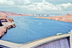
Glen Canyon Dam, flood of 1983
Glen Canyon spillway, flood of 1983
Lake Powell, flood of 1983
| |
|
|
At its all-time highest, looking downstream toward Glen Canyon Dam. Note that the lip of the dam is barely visible, and the bathtub ring is completely gone.
18-AZ_falls
| |
|
3-31-Glen_Cyn_dam_adj
| |
|
3-27-Glen_Cyn_spillway_ig_adj
| |
|
Jump to top
RSS feed- Latest items - Subscribe to the latest items added to this album
- ipernity © 2007-2024
- Help & Contact
|
Club news
|
About ipernity
|
History |
ipernity Club & Prices |
Guide of good conduct
Donate | Group guidelines | Privacy policy | Terms of use | Statutes | In memoria -
Facebook
Twitter

