

Xata's photos
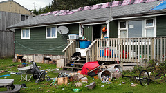
Opitsaht Reserve, Canada... trash...
| |
|
|
|
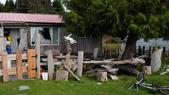
Opitsaht Reserve, Canada L1020054
| |
|
|
Opitsaht, spelled also as Opitsat and Opitsitah, is a community of the Tla-o-qui-aht people of the Nuu-chah-nulth nation, located at the SW end of Meares Island in Clayoquot Sound. During the era of the Maritime Fur Trade, Opitsaht was the seat of Wickaninnish, chief of the Tla-o-qui-aht, and contained 200 ornately carved buildings typical of Nuu-chah-nulth villages. This original village was destroyed by cannon fire by Captain Robert Gray of the Columbia Rediviva as part of a falling-out with the Tla-o-qui-aht when Gray evacuated his erstwhile "fort" nearby on Meares Island, known as Fort Defiance. Today Opitsaht is one of the main villages governed by the Tla-o-qui-aht First Nations, the band government of the Tla-o-qui-aht people.
The population of Opitsat Indian Reserve No. 1, which is named after the village and is an official land status used by Statistics Canada as a census area, was 174 at the Census of 2006.
Source: en.wikipedia.org/wiki/Opitsaht
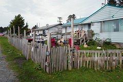
Opitsaht Reserve, Canada L1020048
| |
|
Opitsaht, spelled also as Opitsat and Opitsitah, is a community of the Tla-o-qui-aht people of the Nuu-chah-nulth nation, located at the SW end of Meares Island in Clayoquot Sound. During the era of the Maritime Fur Trade, Opitsaht was the seat of Wickaninnish, chief of the Tla-o-qui-aht, and contained 200 ornately carved buildings typical of Nuu-chah-nulth villages. This original village was destroyed by cannon fire by Captain Robert Gray of the Columbia Rediviva as part of a falling-out with the Tla-o-qui-aht when Gray evacuated his erstwhile "fort" nearby on Meares Island, known as Fort Defiance. Today Opitsaht is one of the main villages governed by the Tla-o-qui-aht First Nations, the band government of the Tla-o-qui-aht people.
The population of Opitsat Indian Reserve No. 1, which is named after the village and is an official land status used by Statistics Canada as a census area, was 174 at the Census of 2006.
Source: en.wikipedia.org/wiki/Opitsaht
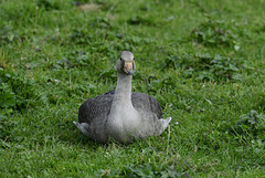
Branta canadensis
| |
|
|
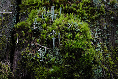
Cladonia fimbriata, Canada L1011000
| |
|
|

Minas de S. Domingos
| |
|
|
|
PIPs ABOVE
Land of contrasts, the area of S. Domingos Mine has a uniqueness that leaves no one indifferent. The mining area of Santo Domingo, part of the Iberian Pyrite Belt, was from ancient times a sought after place for the extraction of minerals and there is evidence of gold, silver and copper mining works since the pre-Roman and Roman period.
Its modern operation began in 1854, at the initiative of the “Mason & Barry” mining company, which continued to operate it until 1966, with around 108 years of regular operation extracting more than 20 million tons of ore (copper, zinc, lead and sulfur). Mina de S. Domingos was the largest Portuguese mining area until the 1930s, with a continuously labour force of over a thousand workers. The mine provided a local development level much higher than the one experienced in the rest of the country. Here it was built, for example, one of the first railways to make the connection between the mine and the old river port in Pomarão. Also here it was built the first power plant in Alentejo. The local community also had accesses to a local hospital and movie theatre among other facilities.
The end of the mining exploitation – combined with the absence of an adequate rehabilitation, abandonment and subsequent vandalism of the remaining heritage – dictated the progressive decay of the territory and the population exodus. Nowadays, the development strategy is focused on the search for resolutions to the environmental problems and to the protection and valuation of the mining heritage.
On the 3rd of June 2013 the mine and urban area of Mina de S. Domingos was classified by the Portuguese authorities as a “Set of Public Interest” and currently this urban area and also the old industrial complex are part of a tour circuit that evokes the history and the living memory of the mine.
Source: visitmertola.pt/en/item/mina-de-s-domingos-the-mining-route
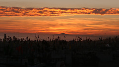
Misty sunset in Monte Gordo
| |
|
|
|
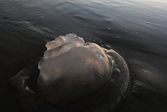
Jellyfish at sundown
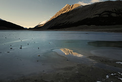
Sunwapta Lake L1010871
| |
|
|
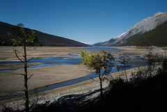
Maligne River Delta
| |
|
|
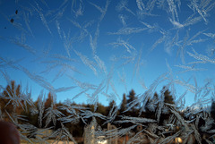
Maligne Lake, Icy morning
| |
|
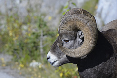
Bighorn sheep, Canada
| |
|
|
|
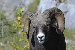
Bighorn sheep, Canada
| |
|
|
|
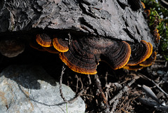
Gloeophyllum sepiarium, Canada L1010889
| |
|
|
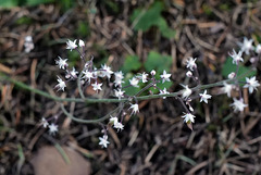
Heuchera micrantha, Canada
| |
|
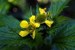
Geum macrophyllum, Canada L1010891
| |
|
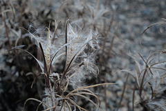
Epilobium tetragonum, Canada L1010879
| |
|
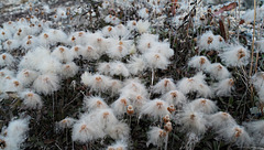
Dryas drummondii, Canada L1010876
| |
|
|
