

Erhard Bernstein's favorite photos
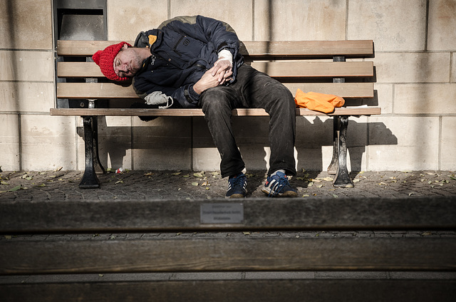

Schieflage
Mitten in der Sonne scheint man es noch aushalten zu können
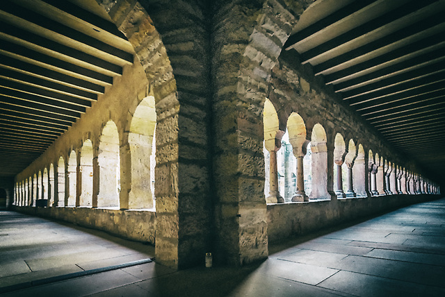
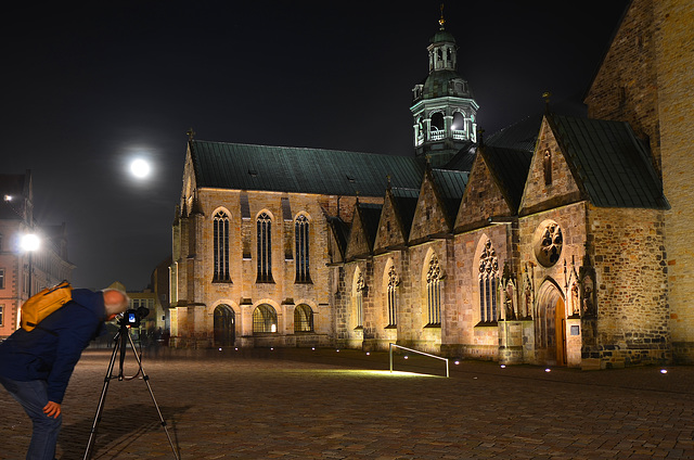
Sternenfänger
Wenn man mit einem ambitionierten "Sternenfänger" auf Fototour ist,
dann spielt auch so ein Mariendom nur die zweite Geige.
Foto zum Foto: www.ipernity.com/doc/1072793/40211660
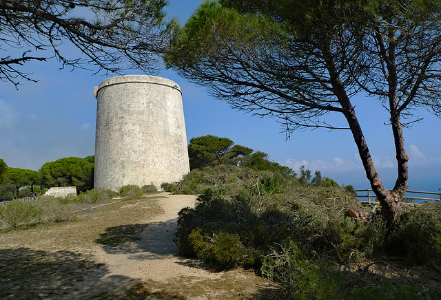
Spain - Barbate, Torre del Tajo
Torre del Tajo is a 16th century watchtower, which was built as part of a coastal defensive system along the Costa da Luz, the most southern part of Andalucía. Watchkeepers could warn for Moorish pirate attacks either by lighting a fire or sending smoke signals to neighbouring towers.
This 14 meters high tower is perched on a cliff 100 meters above the Atlantic Ocean. From the terrace of the Torre del Tajo one can enjoy magnificent views of the coast or even the African continent.
Torre de Tajo (Tower on the Edge) is located in the ‘Parque Natural de la Breña y Marismas del Barbate’, between Barbate and Caños de Meca. The national park is famous for its numerous umbrella pines.
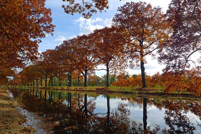
Nederland: Apeldoorns - Kanaal, Oosterhuizen/Lieren
Autumn along the 'Apeldoorn - Dierens Kanaal' nearby Oosterhuizen.
This is the second part of the 'Apeldoorns Kanaal', a waterway from Hattem in the north to Dieren in the south. After arriving of King Willem I digging of the northern part started in 1825. Plans for the southern part between Apeldoorn and Dieren came into execution and digging began. Ten years later the canal was officially opened.
In 1972 the canal was closed for shipping traffic; nowadays you only may see a canoe, rowing boat or pedal boat in the canal.
More information about the Apeldoorns Kanaal (Dutch)l: www.apeldoornskanaal.com
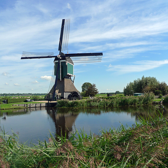
Nederland: Groot-Ammers, Achterlandse Molen
The ‘Achterlandse Molen is one of the three so called wip mills*, all located along the ‘Ammersche Boezem’ (PiP), nearby Groot-Ammers. The windmill is dating back to 1596 (or even earlier) and was used for draining the ‘Liesveld Polder’.
The mill was also used for giving signals to other millers in the polder. By turning the sails into a certain position, the signal miller gave information about the water level to other millers.
The ‘Achterlandse Molen’ is made habitable in 1865 and nowadays still inhabited. The mill was restored in 1978/1979 and in 2006 and is - on a voluntary base - still used for drainage.
*there are two explanations of the Dutch name wip mill:
- ‘wippen’ is meaning wobble, describing the movement of the mill when it is rotating quickly;
- the scoop wheel ‘wipt’ (scoops) the water into the polder canal
235 favorites
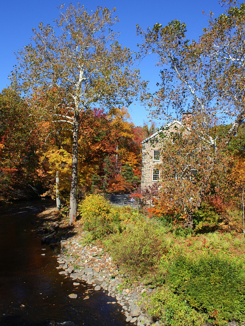
Autumn Scene
View of the Lillian and Amy Goldman Stone Mill and adjacent Bronx River at the New York Botanical Garden (Bronx, New York)—October 30, 2015
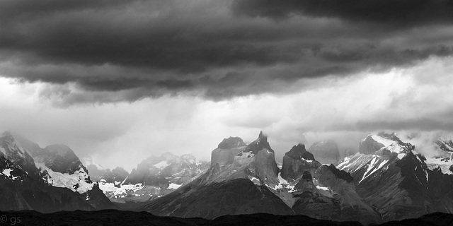
Cuernos del Paine
Cuernos and Valle Francés seen from Rio Serrano. Getting up early to see the sunrise turn the mountains red was an exercise in futility- no reds, only shades of grey;-)
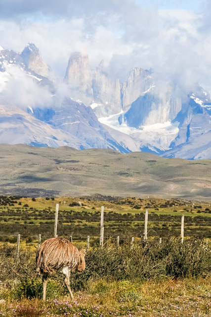
Torres
"Papa Choique" on the other side of the road from his chicks, against the backdrop of the granite needles of Torres del Paine.
HFF everybody! ( I'm away on an Iper -meeting but will catch up next week)
Jump to top
RSS feed- Latest favorites - Subscribe to the favorite docs of Erhard Bernstein
- ipernity © 2007-2026
- Help & Contact
|
Club news
|
About ipernity
|
History |
ipernity Club & Prices |
Guide of good conduct
Donate | Group guidelines | Privacy policy | Terms of use | Statutes | In memoria -
Facebook
X
