


California Desert

Folder: California
Most of the desert regions of Southeast California, with the exception of items from major areas covered by other albums (e.g., US 395, Death Valley, Coachella Valley (Palm Springs)).
Photos are in order by place name.
Photos are in order by place name.
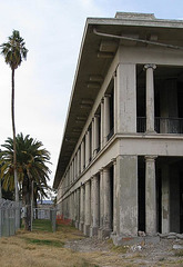
El Garces, Needles, CA 1628a
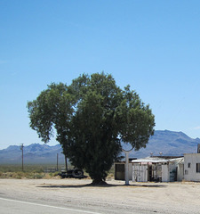
Essex, CA 0051a
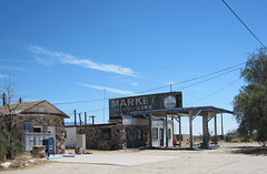
Essex, CA 0050a
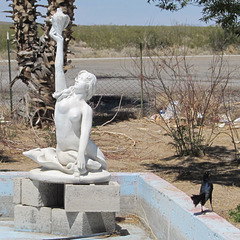
Fenner, CA 0055a
| |
|
Fenner, CA, which appears to be just a gas station with unusual, abandoned, fountains in the back. Fenner is at the Goffs Rd exit from I-40. Goffs Rd is the former Route 66; Fenner was established in the late 1800's as a railroad station.
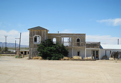
Goffs, CA 0057a
| |
|
Former Goffs general store. Goffs is on the former Route 66 and appears to be largely abandoned.
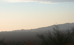
I-10 from Mecca Hills
| |
|
Coming out of Joshua Tree on the south side to Interstate 10, there are three areas nearby that are worth a visit. To the south is Mecca Hills (in this set), towards the east is Desert Center where you can either go north to Eagle Mountain or south to Corn Springs (also in this set). Further west of the interchange is the Coachella Valley (Palm Springs), which is a different set.
The Mecca Hills area seems to be not explored very much, and what exploration does happen seems to be four-wheel drive exploring. Box Canyon Road (paved) runs through the middle of the hills, and on the southern end of that road near Mecca and the Salton Sea is a graded dirt road to Painted Canyon. (adjacent pictures)
This picture is at dusk, looking west at the traffic on I-10, from Box Canyon Road. Despite the heavy traffic on I-10, the traffic on Box Canyon Road was non-existent. Over about a half hour, I saw 2-3 cars.

I-10 old US 60 (1426)
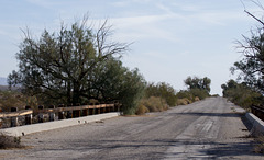
I-10 old US 60 (1429)
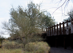
I-10 old US 60 (1430)
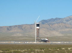
Ivanpah solar (2976)
| |
|
One of the three collectors at the Brightsource Solar Power complex being constructed on BLM land on the Nevada/California border near Ivanpah, CA. I could not get closer to capture the size, but I've noted a semi-trailer to give a reference point regarding the height of the tower. (See adjacent picture)
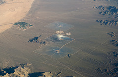
Ivanpah Solar, CA (0012)
| |
|
|
|
Ivanpah Solar facility from the air. On the upper left portion of the picture is the Primm Valley Golf Club, running diagonally above the Golf Club is I-15. Colors are altered to better show the solar fields. Taken on a trip to Denver and the Great Plains.
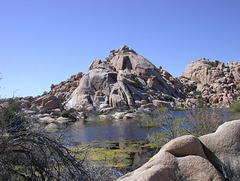
Joshua Tree NP Barker Dam
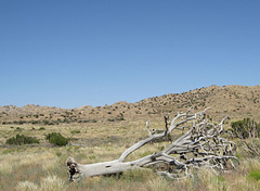
Joshua Tree NP Covington Flat 0113
| |
|
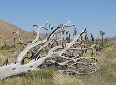
The Covington Flat area of Joshua Tree National Park is on the northwestern edge of the park. The graded dirt road is difficult to find, and the area has very few visitors (none when I was there). The area is much greener than other areas of the park. These pictures were taken in an area where trees on one side of the road had been in a fire a couple of years ago.
Joshua Tree NP Covington Flat 0114
| |
|
The Covington Flat area of Joshua Tree National Park is on the northwestern edge of the park. The graded dirt road is difficult to find, and the area has very few visitors (none when I was there). The area is much greener than other areas of the park. These pictures were taken in an area where trees on one side of the road had been in a fire a couple of years ago.
Joshua Tree NP Covington Flats 1750a
| |
|
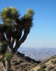
Looking towards Yucca Valley from Eureka peak in the Covington Flats area of Joshua Tree National Park.
Joshua Tree NP near Barker Dam
Joshua Tree NP Wall Street Mill 2306-2
Joshua Tree NP Wall Street Mill 2308-2
Jump to top
RSS feed- Latest items - Subscribe to the latest items added to this album
- ipernity © 2007-2026
- Help & Contact
|
Club news
|
About ipernity
|
History |
ipernity Club & Prices |
Guide of good conduct
Donate | Group guidelines | Privacy policy | Terms of use | Statutes | In memoria -
Facebook
X
