


Norway- North of the Arctic Circle

Folder: Norway
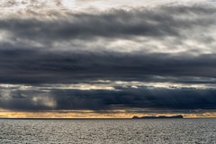
Værøy
| |
|
|
|
Værøy Island seen from Vestfjorden. Værøy is the second southernmost island of the Lofoten chain (after Røst). It is relatively densely populated (750 inhabitants on 17,5 km²) and is connected to the other islands and to the mainland by regular ferry service.
Værøy vom Vestfjord aus gesehen. Værøy ist die zweitsüdlichste Insel der Lofotenkette (nur Røst liegt noch südlicher). Mit knapp 750 Einwohnern auf 17,5 km² ist Værøy relativ dicht besiedelt und hat regelmässige Fährverbindungen zu den anderen Inseln und zum Festland.
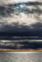
Cloudscape
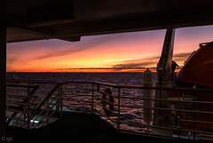
Vestfjord sunset
above us only sky
| |
|
|
|
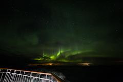
In the middle of the night in the middle of Vestfjord, please view on black!
HFF folks, stay at home, wash your hands and stay safe!
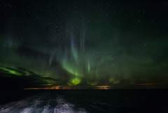
Starry aurora skies
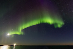
Vestfjord
| |
|
|
|
Aurora over Vestfjord (0:43 a.m.) with a bright moon and the light of Landegode Fyr. It was clear enough to see the Lofoten Islands in the distance.
The inset photo was taken at 1.05 a.m. and shows Landegode Island (both photos taken from Hurtigruten ship MS Polarlys)

Landegode Fyr
| |
|
|
|
Landegode Lighthouse with Lofoten Islands in the background. Visibility needs to be good to see the Lofoten chain across 80 km broad Vestfjorden.
Landegode Fyr was built in 1901/02 and automated in 1988. The 29m high tower is made of iron, its light can be seen for 33 km. Since 1999 the lighthouse is a protected site, the houses around it are used as a hotel.
www.fyr.no/fyrene/fyrene-nord/nordland/483-landegode-fyrstasjon
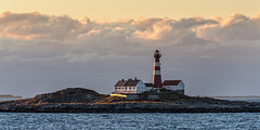
Landegode Fyr
| |
|
|
|
Landegode Fyr was built in 1902, automated in 1989 and listed as a protected site in 1998. The 29m tall iron lighthouse is on a skerry off Landegode Island (18 km north of Bodø) and marks the start of the notorious Vestfjord crossing to the Lofoten Islands.
Landegode Fyr wurde 1902 erbaut, 1989 automatisiert und 1998 als Kulturdenkmal unter Schutz gestellt. Der 29m hohe gusseiserne Leuchtturm steht 18km nördlich von Bodø auf einer Schäre vor der Insel Landegode und markiert den Beginn der berüchtigten Westfjord- Überquerung zu den Lofoten.
www.fyr.no/fyrene/fyrene-nord/nordland/483-landegode-fyrstasjon
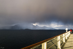
Rain or shine
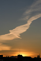
Bodø skies
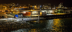
Bodø harbour at night
| |
|
|
|
Stitched from 2 photos.
EXIF: 1/50 • f/2.8 • 50.0 mm • ISO 4000 • Canon EOS 6D • EF 50mm f/1.4 USM
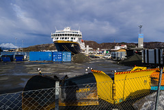
Bodø Harbour
| |
|
|
|
Im NaBu- Kreuzfahrt-Ranking belegen Havila und Hurtigruten den ersten Platz, was Nachhaltigkeit angeht- allerdings wegen des Einsatzes von LNG noch mit viel Luft nach oben.
Havila nutzt neben LNG die derzeit größten Batteriepakete (6,1MWh), mit denen 4 Stunden lang rein elektrisch gefahren werden kann. Im Hafen werden diese mit Landstrom aufgeladen, während der Fahrt ist neben dem LNG-Antrieb immer eines in Betrieb, während das andere lädt.
HFF!
Landstrom:
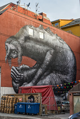
Phlegm
| |
|
|
|
Sheffield based British artist Phlegm called his mural in Bodø "Phlegm". On the troll's back he depicted the landscape surrounding Bodø.
en.wikipedia.org/wiki/Phlegm_(artist)
HWW!

Fishing boat
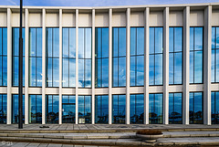
Stormen Library
| |
|
|
|
SC103: characterful building
Stormen Library, Concert House and Cultural Centre, Bodø: drdh architects 2014
www.archdaily.com/580769/stormen-drdh-architects?ad_medium=office_landing&ad_name=article
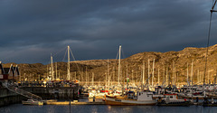
Bodø harbour
| |
|
|
|
Stitched from 2 photos.
EXIF:
1/500 • f/8.0 • 90.0 mm • ISO 250/ Canon EOS 6D/ EF24-105mm f/4L IS USM
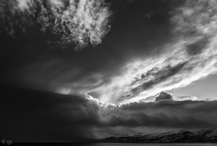
Nordland sky

Nordland Panorama - view large!
| |
|
|
|
Nordland coast from Gildeskål to Øra. See inset photo of Høgstjerna and Høgnakken mountains.
EXIF:
1/200 • f/10.0 • 92.0 mm • ISO 100, Canon EOS 6D, EF24-105mm f/4L IS USM
Jump to top
RSS feed- Latest items - Subscribe to the latest items added to this album
- ipernity © 2007-2026
- Help & Contact
|
Club news
|
About ipernity
|
History |
ipernity Club & Prices |
Guide of good conduct
Donate | Group guidelines | Privacy policy | Terms of use | Statutes | In memoria -
Facebook
X
