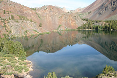
slgwv's photos
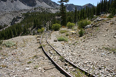
Track from Mae Lundy mine.
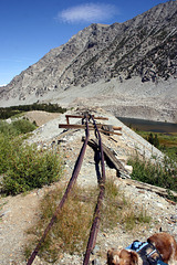
Track from Mae Lundy mine
| |
|
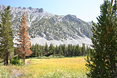
Off the Mae Lundy Mine trail
| |
|
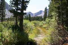
Off the Mae Lundy Mine trail
| |
|
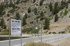
Sign
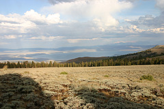
IMG_5862
| |
|
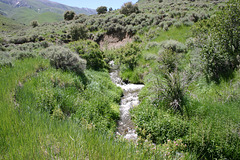
North Fork Big Creek
| |
|
|
|
And how many "Big" creeks are there? Oh, well... Toiyabe Range, central Nevada, USA.
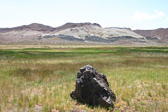
"The Gap"
| |
|
|
|
On the back road between Coaldale Flat and Fish Lake Valley, Esmeralda County, Nevada. The green vegetation is due to Gap Spring.
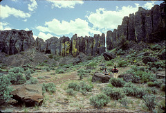
Column Wall
| |
|
Columnar jointing at the base of a Columbia River Basalt flow exhumed by the Scabland floods.
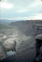
Plunge Pool
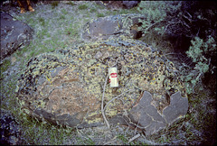
Weathered Boulder
| |
|
In the outwash debris below Sentinel Gap, somewhere in the Priest Rapids wildlife area. This boulder has lain there for >10^4 years now, and is somewhat worse for wear! Beer can for scale. Note how some of the original surface is preserved at the lower right.
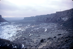
Frenchman Coulee
| |
|
Looking out the coulee to the southwest on a bleak winter day. Note my vehicle (outlined); in those days you could drive on the jeep roads in the coulee!
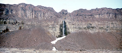
Waterfall into Frenchman Coulee.
| |
|
With the raising of the water table by the Columbia Basin Project in the mid-20th century, lots of quasi-perennial streams now flow across the basin, and this one finds its way into the coulee.
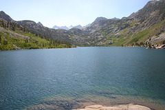
Sabrina Lake
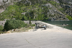
Sabrina Lake Dam
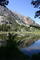
Beaver pond in Lundy Canyon
| |
|
|
|
Above Lundy Lake before the trailhead. Sierra Nevada, California, USA. The tree stumps in the water are trees that were drowned by the pond. Beaver, almost hunted to extinction during the fur trade up into the early 19th century, have made a big comeback throughout western North America, to the point that they're now a nuisance for high-end homeowners out in the exurbs!
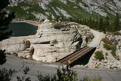
South Lake Dam
| |
|
Southern Cal Edison built this sometime around WW I. Note the spillway cut thru solid granite on the left, above the bridge.