

slgwv's photos
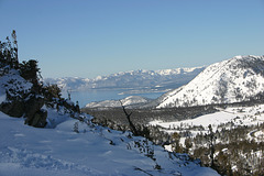
Lake Tahoe
| |
|
|
|
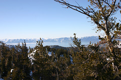
From off Upper Ramsay's in the Mt. Rose Ski Area. Nevada USA. The skylined mountains are in California. The highway visible at the right is Nevada route 431.
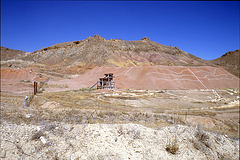
Heap leach
| |
|
Antelope Springs District, Nevada. A modern gold operation in a district historically known for mercury production.
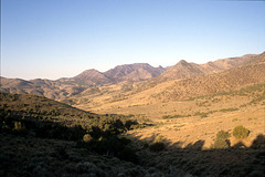
View toward Bolivia

Burnt Canyon

Burnt Canyon
| |
|
Below the "narrows". The very rough jeep trail goes around on the left (south) side.

View of Burnt Canyon
| |
|
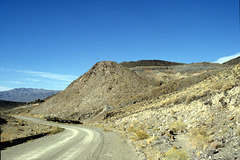
Rhyolite plug near Hawthorne

Wildhorse Canyon
| |
|
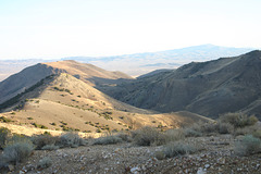
Burnt Canyon View
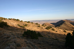
IMG_1786
| |
|
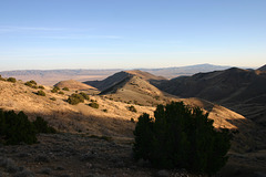
View of Burnt Canyon
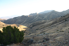
View of Burnt Canyon
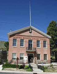
Old Lander County Courthouse, Austin, Nevada
| |
|
|
|
Austin had been the county seat of Lander County ever since 1863, before Nevada was even a state. Battle Mountain, about 50 miles north, became the county seat in 1979, though. It's another small community, but it's bigger than Austin. It's also on the transcontinental railroad and I-80, so its economy is more diversified than just mining.
In the 19th century towns would routinely vie for the county seat as their fortunes (and populations) waxed and waned. For a county seat to shift as late as 1979 is a blast from the past. Perhaps rural Nevada is just a bit behind the times... ;)
The street in the foreground is US 50/The Lincoln Highway.
Canyon
IMG_6838
| |
|
Burnt Canyon

IMG_4181
| |
|

IMG_4179
| |
|
