

slgwv's photos
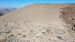
Dropping...
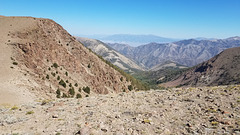
Looking east from the TCT
| |
|
|
Down North Twin River Canyon to Big Smoky Valley. The range in the distance is the Toquima Range, with peaks in that high massif over 11K feet.
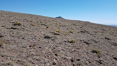
Bye, Arc Dome!
| |
|
|
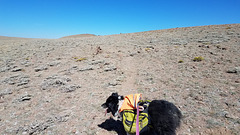
Cairns
| |
|
The surface here is so barren that cairns mark the path. It's an extreme environment for vegetation!
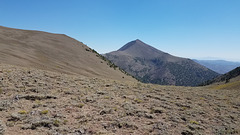
Arc Dome (11,773 ft/3588 m)
| |
|
|
|
High point of the Toiyabe Range, and centerpiece of the eponymous wilderness area at the south end of the range.
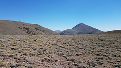
Arc Dome (11,773 ft/3588 m)
| |
|
In context. Going to the summit requires a six-mile round trip off the TCT, plus crossing that prominent saddle! We gave it a miss this time...
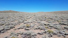
On top
| |
|
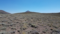
THAT'S Arc Dome!
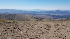
Looking back southwesterly
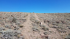
Last push
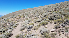
Almost there...
| |
|
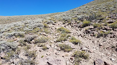
Rough...
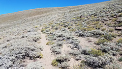
Getting closer...
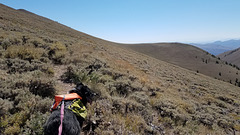
Still climbing the ridge...
| |
|
|
|
With the slant we're traversing, this would have been a hairy section when the trail was open to 4wd vehicles. If you started rolling you wouldn't stop for a long ways.
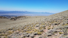
Looking back west
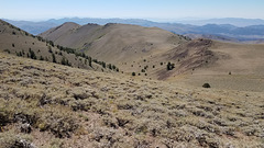
Big Sawmill Canyon
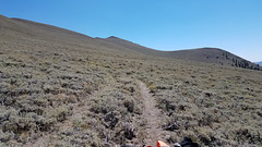
Still a ways...
| |
|
The ridgecrest still looks to be a ways above us--and we do know the pointy peak is NOT Arc Dome!
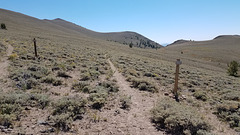
Junction with the TCT
| |
|
Here the Stewart Creek trail makes a junction with the Toiyabe Crest Trail. We keep to the left, still climbing the ridge.
