

slgwv's photos
IMG 3879
| |
|

IMG 3878
| |
|

IMG 3876
| |
|
IMG 3873
| |
|

IMG 3864
| |
|

IMG 3861 rot
| |
|
IMG 3859
| |
|
Jill (left) & Jack
| |
|
|
|
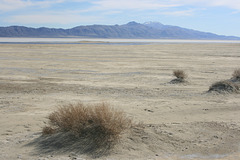
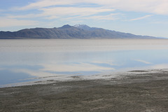
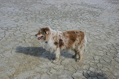
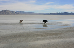
On the sort-of flooded Black Rock Playa (i.e., dry lake bed), Black Rock Desert, Nevada. This is more-or-less the area where the Burning Man counterculture festival is held around Labor Day (1st Monday in September, for those who may not know). Due to the very wet winter, the playa has been flooded to make an extremely shallow lake ("30 miles long and 3 inches deep," in the traditional joke), and it will be interesting to see if it dries out enough to hold the festival by September. The mountain across the playa on the left is Trego Mtn, a local landmark.

IMG 3853 adj
| |
|

IMG 3851 adj
| |
|

IMG 3959
| |
|

(Flooded) Perched Playa
| |
|
|
|
A small basin improbably perched about 400 ft (120 m) above the main basin. It's relict topography from when the whole Black Rock basin was filled with a huge lake, Pleistocene Lake Lahontan, several hundred feet deep. The barrier walling off this little basin is a spit, a peninsula (highlighted) deposited by longshore drift when Lake Lahontan was full.
In fact, there are lots of small perched playas and similar features around Lake Lahontan, formed by shoreline processes in a deep lake. In some places, the Lake Lahontan features are so large-scale they're a good model of marine shoreline processes, showing what the coastline would look like if you could drop sealevel a few hundred feet. (As it happens, I have a whole album on such a place, where we would take Geology 100 students on field trips: www.ipernity.com/doc/289859/album/501179)
Normally the perched playa is dry (hence a "playa"), but this year it's filled from the heavy rains last winter.

IMG 3787 rot. adj
| |
|
IMG 3722
| |
|
|
|
Power to the People
| |
|
|
|
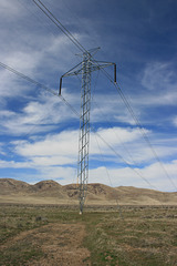
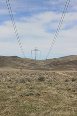
A view along a high-voltage line just off Nevada Highway 447, on the way to Gerlach and the Black Rock Desert. This is the Pacific DC Intertie, which connects the Bonneville hydropower grid in the Pacific Northwest with Los Angeles. It's a 500 kV DC line that (per Wikipedia) accounts for just under half of the Los Angeles Dept. of Water & Power's capacity. The line crosses Nevada but has no connection to the grid in the state. Insets show one of the towers, with its base tapering to a point and supported by 4 guy wires, and a warning sign courtesy of the LADWP.

IMG 3719 adj
| |
|

IMG 3718
| |
|

IMG 3717 adj
| |
|
