

slgwv's photos
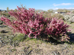
Desert peach
| |
|
|
|
Prunus andersonii. A local thornbush that flowers spectacularly late April-early May, with a heavy distinctive fragrance. Altho related to peaches, plums, cherries, etc. (also genus Prunus ), it has a tiny and none-too-edible fruit. Washoe Lake State Park Nevada; houses at the edge of New Washoe City are visible in the background.
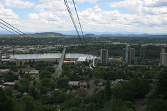
Portland Aerial Tram
| |
|
|
|
On the south edge of Portland, Oregon, looking east. That's the Ross Island Bridge just left of center, which carries US 26. The river is the Willamette. The tram starts just off I-5 and runs up the bluff to the west to the campus of the Oregon Health & Science University. It's open to the public, fare $4.25. Thanks to Don Barrett for this link:
www.gobytram.com
Inserts are (left) the view just to the left, showing Mt. Hood shrouded by clouds; and (b) the tram gondola on the other cable, descending.
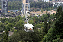
Gondola, Portland Aerial Tram
| |
|
|
Looking east; Willamette River in the background. Interstate 5 is hidden by the trees just in front of the high rises.
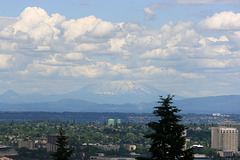
Mt. Hood
| |
|
|
|
View eastward from the Portland (Oregon) Aerial Tram. Mt. Hood is one of the more famous Cascade stratovolcanoes. It would be more spectacular if it weren't shrouded by cloud! It's a dangerous volcano and Portland is at risk.
20170503 145052 001
| |
|
20170503 145026 001
| |
|
Wingfield Park
| |
|
|
|
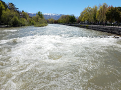
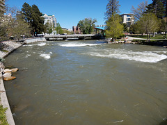
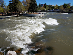
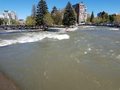
Truckee River in Wingfield Park, downtown Reno, Nevada. The Truckee flows right thru Reno--in fact, the original settlement was at the ferry Wingfield ran--and there's been a big push in recent years to make the corridor along the river high-quality public space, the "Riverwalk." Wingfield Park is a centerpiece of those efforts, with a whitewater park on the river and places for open-air concerts and such, as well as ongoing special events. The Reno River Festival, featuring kayak competitions, is under way right now and is expected to be spectacular with the extraordinary river flows at present. Flows are around 6000 cfs (cubic feet per second), compared with more like 1500 cfs normally. But the authorities, because of those same flows, are warning everyone to stay away from the water, and the kayakers are, in essence, saying, "We're trained professionals. Everyone else stay out of the water!" There is a big rescue presence at the exhibition in case anyone falls in and gets swept away.
This photo looks across one of the (artificial) rapids in the park where the kayaks will surf. That's the western (upstream) tip of Wingfield Island, in the park. It's accessed by the footbridge on the left. The inset shows this rapid during low water flow in 2014.
20170503 144923 001
| |
|
IMG 5206
| |
|
Dry Pond
Dry Pond
| |
|
|
|
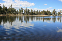
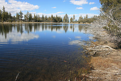
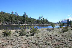
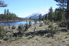
Not living up to its name this season! This is a shallow natural basin improbably situated on a ridge between the Thomas Creek and White's Creek drainages. Looking southwest. The left inset shows what the basin looked like in October 2014. The right inset shows a view of the pond looking back to the north (the photo position is marked with another note).
IMG 5183
| |
|
Washout
| |
|
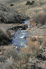
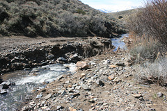
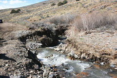
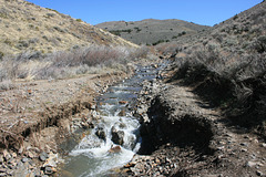
Jumbo Grade and Jumbo Creek, looking downstream at the narrows where the runoff funneled thru.
IMG 4313
| |
|
IMG 4306
| |
|
|
|
IMG 4298
| |
|
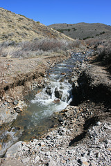
Geology in Action!
| |
|
|
|
Jumbo Creek and the flood damage it caused on Jumbo Grade, in a narrows where there's normally a shallow ford. Usually Jumbo Creek thru here is a trickle when not dry completely, so the amount of flow was extreme. The inset on the right shows the view downstream. The insets in the middle and right show more or less this view in March 2011 and January 2012, respectively; the creek was flowing then, but not like this!
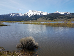
Slide Mountain and Little Washoe Lake
| |
|
|
|
Washoe Lake State Park, Nevada. Looking southwesterly. The high water level is apparent from the bush awash in the foreground!
