

slgwv's photos
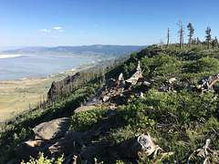
Winter Ridge (or Rim)
| |
|
|
|
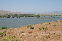
Looking pretty much south from Fremont Point, Oregon. Summer Lake lies in the basin to the left; Oregon State Route 31 runs along the right (west) side of the lake, between it and Winter Ridge. Winter Ridge (a.k.a. Winter Rim) is said to have gotten its name from the John C. Fremont expedition when they arrived here in December, 1843--in 3 feet of snow! They also named Summer Lake because of the contrast. The burned trees date from a fire in 2002. My wife took this with her iPhone--the inset is a pic almost from the same place on my Galaxy S7 Android phone. Maybe I'll just give up on the SLR! ;)
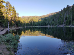
Withers Lake, with reflections
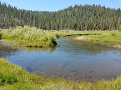
Dairy Creek
| |
|
|
|
Oregon. A tributary to the Chewaucan River in the Gearhart Mtns, in the south-central part of the state. This year Dairy Creek is running fuller than the Chewaucan usually does!
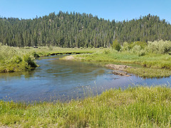
20170703 110002 001
| |
|
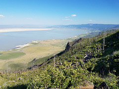
Summer Lake from Winter Ridge
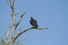
Turkey vulture
| |
|
|
|
A.k.a. buzzard ( Cathartes aura ). One of the most common carrion-eaters in the Americas, it's not closely related to Old World vultures. The inset shows the same bird fluffing its feathers. Outside irrigated lands near Fallon, Nevada.
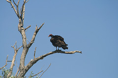
IMG 5582 adj
| |
|
|
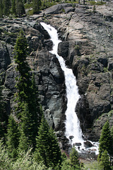
Frazier Falls
| |
|
|
|
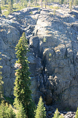
A waterfall in glaciated granitic terrain in the Lakes Basin, at the vague northern end of the Sierra Nevada, California. It has recovered with the blockbuster water year; left inset shows the falls in Sep 2013, when it was little more than damp rock; the right inset is in June 2014, almost exactly 3 years ago, when at least there was a trickle!
Frazier Falls
| |
|
|
|
Or then, more like "Frazier Damp Rocks!" Late in the season, and during the drought.
IMG 5569 adj
| |
|
IMG 5568 adj
| |
|
IMG 5566 adj
| |
|
IMG 5565 adj
| |
|
IMG 5562 adj
| |
|
IMG 5546 adj
| |
|

IMG 5543 adj
| |
|
IMG 5505 adj
| |
|
IMG 5499
| |
|
