

slgwv's photos
IMG 6320
| |
|
IMG 6319
| |
|
IMG 6317
| |
|
Vee Lake
| |
|
|
|
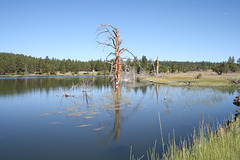
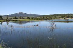
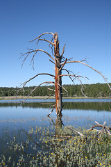
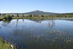
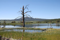
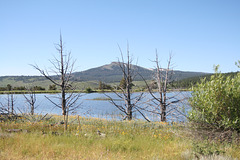
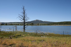
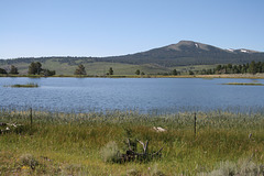
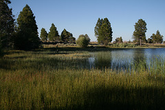
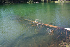
A small but (this year) very full reservoir improbably perched on a bench in the Warner Mountains of south-central Oregon. Looking south; the nearer peak (to the left) is Crook Peak (7834 ft/2388 m); the farther one, on the right, is McDowell Peak (7654 ft/2333 m). It's unusual for snow to remain on them into July--a result of the extraordinary winter. The reservoir is stocked with rainbow trout, but, surprisingly, we had it all to ourselves--no doubt a result of being there a day _after_ the holiday! The insert shows another view, with one of the large snags from trees drowned by the reservoir. Vee Lake is also the endpoint (or beginning point) of the Fremont National Scenic Trail, which runs south and then west into the Gearhart Mountains, finally ending up on the Winter Ridge west of Summer Lake.
IMG 6314
| |
|
|
|
IMG 6306
| |
|
IMG 6304
| |
|
IMG 6301
| |
|
Thompson Reservoir
| |
|
|
|

IMG 6289
| |
|
IMG 6288 rot
| |
|
IMG 6277
| |
|
IMG 6276
| |
|
IMG 6274
| |
|
IMG 6182
| |
|
Valley of the Chewaucan
| |
|
|
|
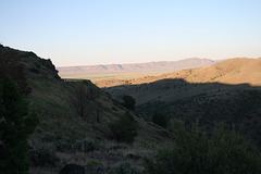
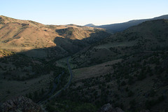
Overlooking the Chewaucan River, in the Gearhart Mountains of south-central Oregon upstream from the village of Paisley. The Chewaucan is another landlocked river. It flows into saline Lake Abert, and indeed is the lake's main water source We're looking north here. Turns out "Chewaucan" is pronounced, more or less, "SHEE-wuh-cahn."
Improbable
| |
|
|
|
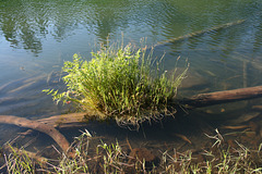
Small shrubs and grass growing on a partly sunken log in Slide Lake, Oregon. Slide Lake is a small natural lake in one of several basins formed by ancient landslides off Winter Ridge, below Slide Mountain (the name was not drawn from a hat!). The inset shows a view of the lake itself off to the right.
IMG 6142
| |
|
