

slgwv's photos
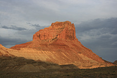
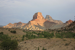
Assembly Hall Peak
| |
|
|
|
Pretty sure, anyway. Off the Buckhorn Draw Road (Emery Co. 332) a few miles south of the San Rafael River. Looking east; this is sunset lighting!
IMG 9515
| |
|
IMG 9506
| |
|
IMG 9504
| |
|
IMG 9502
| |
|
IMG 9520
| |
|
IMG 9452
| |
|
IMG 9463
| |
|
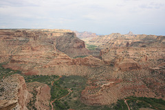
IMG 9460
| |
|
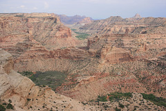
IMG 9457
| |
|
|
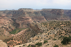
IMG 9408
| |
|
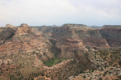
Wedge Overlook
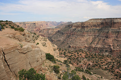
IMG 9405
| |
|
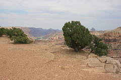
IMG 9424
| |
|
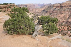
IMG 9414
| |
|
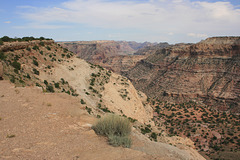
IMG 9413
| |
|
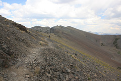
Pacific Crest Trail
| |
|
|
|
South of Sonora Pass, in California's Sierra Nevada. The notch in the ridge in front of the hiker in the distance is above Leavitt Lake.
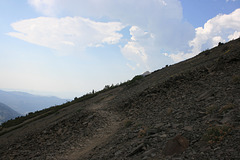
Pacific Crest Trail
| |
|
|
|
In California's Sierra Nevada about 5 miles (as the crow flies) south of Sonora Pass. The peak peeking over in the distance is Leavitt Peak (11,569 ft/3526 m). This is supposed to be one of the most spectacular sections of the PCT. The left inset shows the view down into the canyon to the left; if I'm reading the map right, the body of water is Kennedy Lake. The right inset is the view back down the trail, from a point maybe a quarter-mile behind the camera position here. We didn't _quite_ get rained on this trip, but it was close!
