

RHH's photos
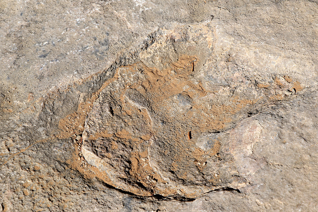

Dinosaur Track
This is the fossilized track of a duck-billed dinosaur, photographed near the visitors' center at Navaho National Monument.
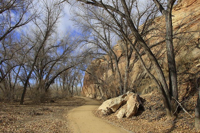
Sand Island, Utah
Sand Island is a recreation area under the authority of the Bureau of Land Management. We stopped there to see the Native American petroglyphs on the bluffs above the San Juan River. We walked the trail shown in the photo and found the petroglyphs in various areas along the bluffs, very clear and impressive, some of them shown in the inset photo.
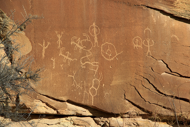
Sand Island Petroglyphs
While in Arches and Canyonlands we met a man who suggested stopping to see the petroglyphs at Sand Island, Utah. We did stop on our way south and walked along the San Juan River and found the petroglyphs there, some of them shown in the photo. The petroglyphs are found on the bluffs above the river over a nearly 100 meter area and are very clear and impressive.
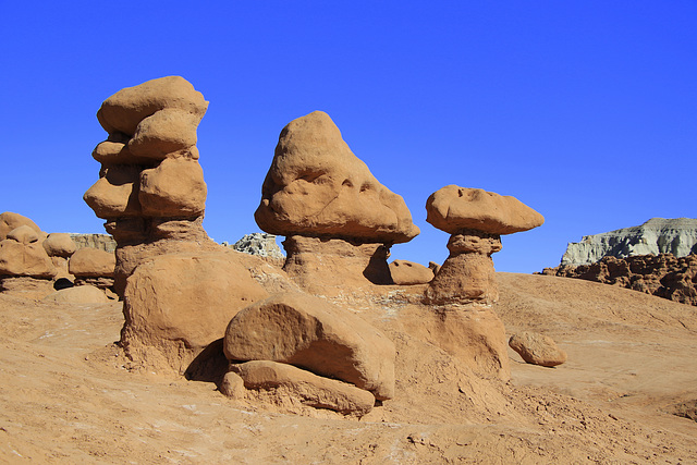
Goblin Valley
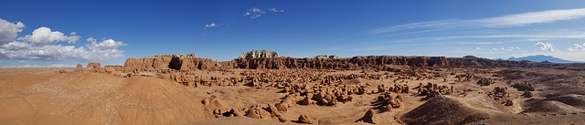
Goblin Valley is a state park in the Hanksville area of Utah (west of Moab). It was the first place we visited on our trip to Utah, Arizona and southern California. It is known for the thousands of weird formations that fill the valley, formations that often resemble toadstools or goblins. This part of the park is known as The Goblins' Lair. We spent a few hours there before heading on to other places.
Goblin Valley
This panorama of the most visited area of Goblin Valley State Park in Utah, shows the valley which is filled with thousands of odd formations that looks like toadstools or goblins. This part of the park is known as the Goblins' Lair. The panorama is best viewed large.
Delicate Arch
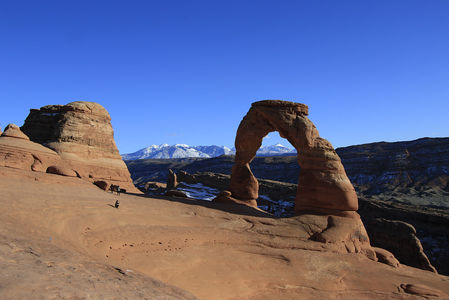
This is Delicate Arch in Arches National Park in Utah. The mountains in the background are the La Sal Mountains, a lovely backdrop for the arch. We spent a day in Arches on our recent trip and hiked the three mile round trip to the arch, a hike with about 500 feet of elevation gain.
Delicate Arch
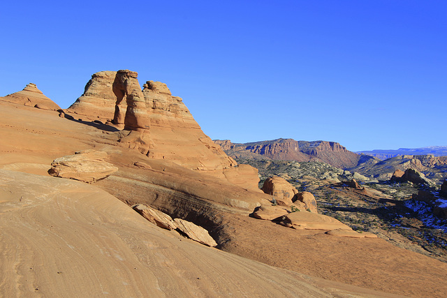
After visiting Goblin Valley State Park and Moonscape Overlook, my wife and I spent a day in Arches National Park and toward the end of the day did the hike to Delicate Arch, seen here from a different angle.
Upper Antelope Canyon
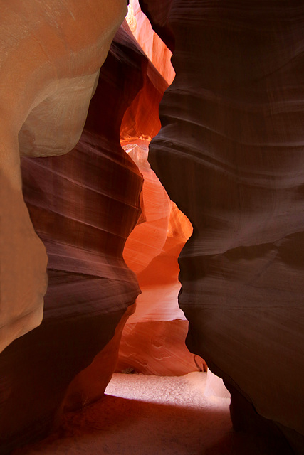
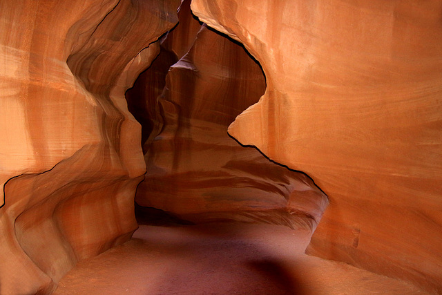
Upper Antelope Canyon is a slot canyon near Page, Arizona, that is on the Navaho reservation. Touring the canyon requires an entrance fee and a Navaho guide, both of which we booked as we travelled through the area on our way to southern California. The tour, though expensive, was worthwhile and we were able to get some decent photos.
Antelope Canyon
We were traveling from Utah to southern California and decided to visit Antelope Canyon near Page, Arizona. It is in the Navaho reservation and can be visit only with a Navaho guide and as part of a tour. It is also quite expensive but we found it worth the cost. Photos in the canyon were difficult but we did get a few decent ones, this one of them.
