Hiking
A panorama with a fence.
| |
|
|
|
* Happy Alpine Fence Friday ! *
(Click "Z" for a better view.)
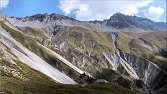
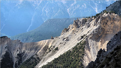
Am Stockhorn – Chummlikante.
(46.69173, 07.53939); [90°] – swisstopo map
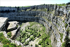
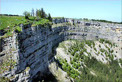
"Grand Canyon of Switzerland"
| |
|
|
|
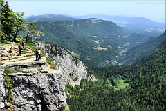
Creux du Van
Auf ausdrücklichen Wunsch von ► Leon_Vienna.
► Wikipedia
(46.93465, 06.72047); [180°] – swisstopo map
Creux du Van
Creux du Van
Bankgeheimnisweg (PiP)
| |
|
|
|
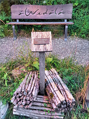
Happy Bench Monday !
In this region a Banking Secracy Trail has been created.
(In German, 'Bank' and 'Bench' are the same word, so there are many possibilities for wordplays.)
Along the path there are several benches (Bank) and at each one there is a little secret. This here is about the bernese-german term "Wedälä", which means a bundle of brushwood (as shown in the foreground).
And each bench has a sponsor noted on the sign (PiP).
► Secret Journey · ♯ ♪ ♫ ♪ ♫ ♪ ·
(46.80136, 07.93839)
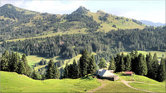
Selfbuilt Avalanche Protection (see note & PiP)
| |
|
|
|
Hausinternes Lawinenschutzprogramm.
Hier geht es nicht nur um Schutz vor Schneelawinen, sondern auch vor Steinen und Geröll. Das Haus liegt ziemlich genau in der Falllinie eines Geröllfeldes (siehe swisstopo map). Aber es ist weitherum der einzige flache Platz, wo ein Haus mit Stall erstellt werden konnte. Und um die Alp wirtschaftlich betreiben zu können, musste halt irgendwo ein Haus errichtet werden.
► Avalange · ♯ ♪ ♫ ♪ ♫ ♪ ·
(46.80000, 08.07023); [00°] – swisstopo map
contemplation
Happy One-Seat-Bench-With-A-View Monday !
| |
|
|
|
Happy Bench Monday !
Am Brienzer Rothorn.
(46.78773, 08.05598); [250°] – swisstopo map
avalange protection
| |
|
|
|
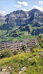
Happy Snow Fence Friday !
Die => Lawinenverbauung am Schwandfeldspitz (2'025 m) schützt das Dorf Adelboden in der Talsohle.
(46.49723, 07.54249); [120°] – swisstopo map
falling fog
| |
|
|
|
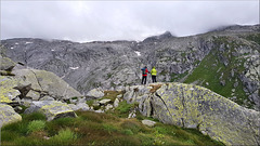
Am Passo di Lucendro. (beim Gotthard-Pass)
An der Quelle der Rheuss.
Die Rheuss ist mit 164 km Länge der viertlängste Fluss der Schweiz. Sie mündet bei Windisch im Kanton Aargau in die Aare. Die Aare fliesst in den Rhein und der Rhein schliesslich in die Nordsee.
► Mountain Climbing
(46.5512, 08.5317) – swisstopo map
hiking along the valley
| |
|
|
|
Ticino - Val Bedretto
Auf dem ► Vier-Quellen-Weg . ► Etappe 3
.
(46.5298, 08.5365); [250°] – swisstopo map
The lonely hiker
| |
|
|
|
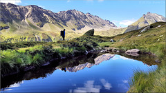
Auf der Alpe di Cruina.
► Etappe 4 des "Vier-Quellen-Weg"
(46.47823, 08.44179); [240°] – swisstopo map
fallen fog
| |
|
|
|
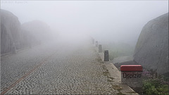
Gotthard Hospiz.
Auf der alten Gotthardstrasse.
► SO sieht es aus, wenn der Nebel weg ist. :-)
(46.55890, 08.56265); [120°]
Plaun Segnas Sut · (PiP)
| |
|
|
|
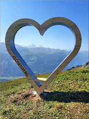
Happy Bench Monday !
► UNESCO Weltkulturerbe
(46.87737, 09.23756); [100°] – swisstopo map
[Kein Titel]
| |
|
|
|
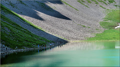
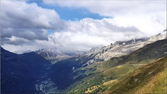
Griess Gletscher und Stausee.
Gesehen vom Nufenen Pass.
(46.47565, 08.38781); [220°] – swisstopo map
Happy No Bench Monday ! ;-) (PiP)
| |
|
|
|
Margunet – Vor dem Unfall
Drücke "Z" für den vollen Genuss!
(46.67481, 10.24401); [80°] – swisstopo map
Margunet
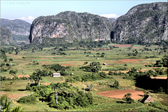
Valle Viñales with Mogotes hills.
| |
|
|
|
Valle Viñales mit Mogotes
► Nationalpark Valle de Viñales
► Für Gabi Lombardo
(22.59667, -83.72194); [350°]
Jump to top
RSS feed- Latest items - Subscribe to the latest items added to this album
- ipernity © 2007-2024
- Help & Contact
|
Club news
|
About ipernity
|
History |
ipernity Club & Prices |
Guide of good conduct
Donate | Group guidelines | Privacy policy | Terms of use | Statutes | In memoria -
Facebook
Twitter


![[Kein Titel] [Kein Titel]](http://cdn.ipernity.com/200/35/90/50963590.60d3417d.240.jpg?r2)
