Utah SE
Folder: Other West
Utah Southeast (this set): The term ‘southeast’ isn’t quite accurate for this, but I could not come up with a better label. This is the area east of I-15 and south of I-70, stretching over to the 4-corners region. Though this area often has so many tourists that it can be a bother, it is fairly easy to get away from them and have enough isolation to really appreciate nature/history. The area in…
(read more)
Valley of the Gods 250a
| |
|
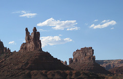
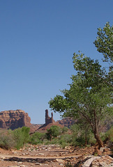
About 20 miles west of Bluff is the Valley of the Gods, which is reachable by a dirt road. The first time I visited them in the 1990's, you could count on driving the 17 mile dirt road and seeing no one. The area is much more well-known now with cars coming through every few minutes on summer days. Solitude is still possible, except when someone in a giant SUV drives through too fast with their windows rolled up and air conditioning on, 'consuming' the landscape rather than experiencing it -- and generating lots of dust and noise.
Valley of the Gods 252a
Valley of the Gods 253a
Valley of the Gods, UT
| |
|
|
Wilson Arch 1727a
Zion National Park
| |
|
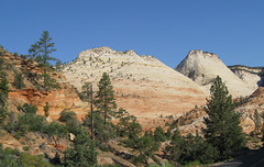
Zion National Park, northwest corner -- this is the less visited area of the park, with some amazing scenery (including very red rock) and relatively quiet hiking trails. This picture is 'proof' that I was there -- I had a pickup in those days with a camper shell. Scan of an older picture, taken some time in the mid 1990's
Zion National Park
| |
|
Entrance road to Zion National Park. Scan of an older picture taking in January, 2001. For some reason these pictures are much worse than usual, I'll have to take another winter trip through the area.
Zion National Park 315a
| |
|
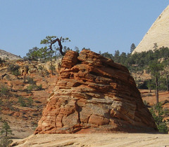
Part of my never-ending fascination with trees that grow out of rocks -- this is on the east entrance road to Zion National Park.
Zion National Park 316a
Moab Potash Rd (1819)
Montezuma Creek, UT oil (1718)
Dewey Bridge, UT (1772)
| |
|
Ruins of the Dewey Bridge, a suspension bridge built across the Colorado River in 1916. Per a local, the bridge had been almost completely restored but the deck was accidentally set on fire in 2008, which destroyed the bridge.
Dewey Bridge, UT (1780)
| |
|
|
Ruins of the Dewey Bridge, a suspension bridge built across the Colorado River in 1916. Per a local, the bridge had been almost completely restored but the deck was accidentally set on fire in 2008, which destroyed the bridge.
Moki Dugway, UT (1723)
| |
|
|
|
Looking south over the Valley of the Gods from the Moki Dugway, taken on a January, 2010 trip.
Blanding high school UT (1642)
| |
|
Former high school building, now used as an administrative building by the school system. The architecture is more unique than is initially evident -- the brick corners are all rounded. Due to the color of brick, the rounding and other detail isn't immediately noticeable. Unfortunately I could find no history on the building. The age of the building suggests the 1930's and there is mention of the CCC being in the area then, but no mention of their having been involved in the construction of this.
Hovenweep National Monument (1649)
| |
|
|
Hovenweep National Monument is probably my favorite of the Native American ruins. Like Walnut Canyon (see earlier pictures of this trip), it has a 2 mile loop around multiple structures and no one structure dominates, thus it has the feel of having once been a fairly active village. Unlike the other collections of structures in the area, this is not very visited, thus it is easy to spend time on the trail reflecting on what life was once like here. Per the park service, the structures were built between 1200 and 1300 AD (CE). What is seen in these pictures is structures in the Square Tower group, there are five other prehistoric villages around Hovenweep, but all of those are on unpaved roads and are less accessible
Hovenweep National Monument (1647)
| |
|
|
|
Structures around the small canyon that are considered to be part of the Square Tower group. See #1649 for comments on the Hovenweep monument.
Hovenweep National Monument (1651)
| |
|
|
Structures around the small canyon that are considered to be part of the Square Tower group. See #1649 for comments on the Hovenweep monument.
Jump to top
RSS feed- Latest items - Subscribe to the latest items added to this album
- ipernity © 2007-2024
- Help & Contact
|
Club news
|
About ipernity
|
History |
ipernity Club & Prices |
Guide of good conduct
Donate | Group guidelines | Privacy policy | Terms of use | Statutes | In memoria -
Facebook
Twitter


